Uphill
163m
Length
6km
Duration
2h
Elev gain
163m
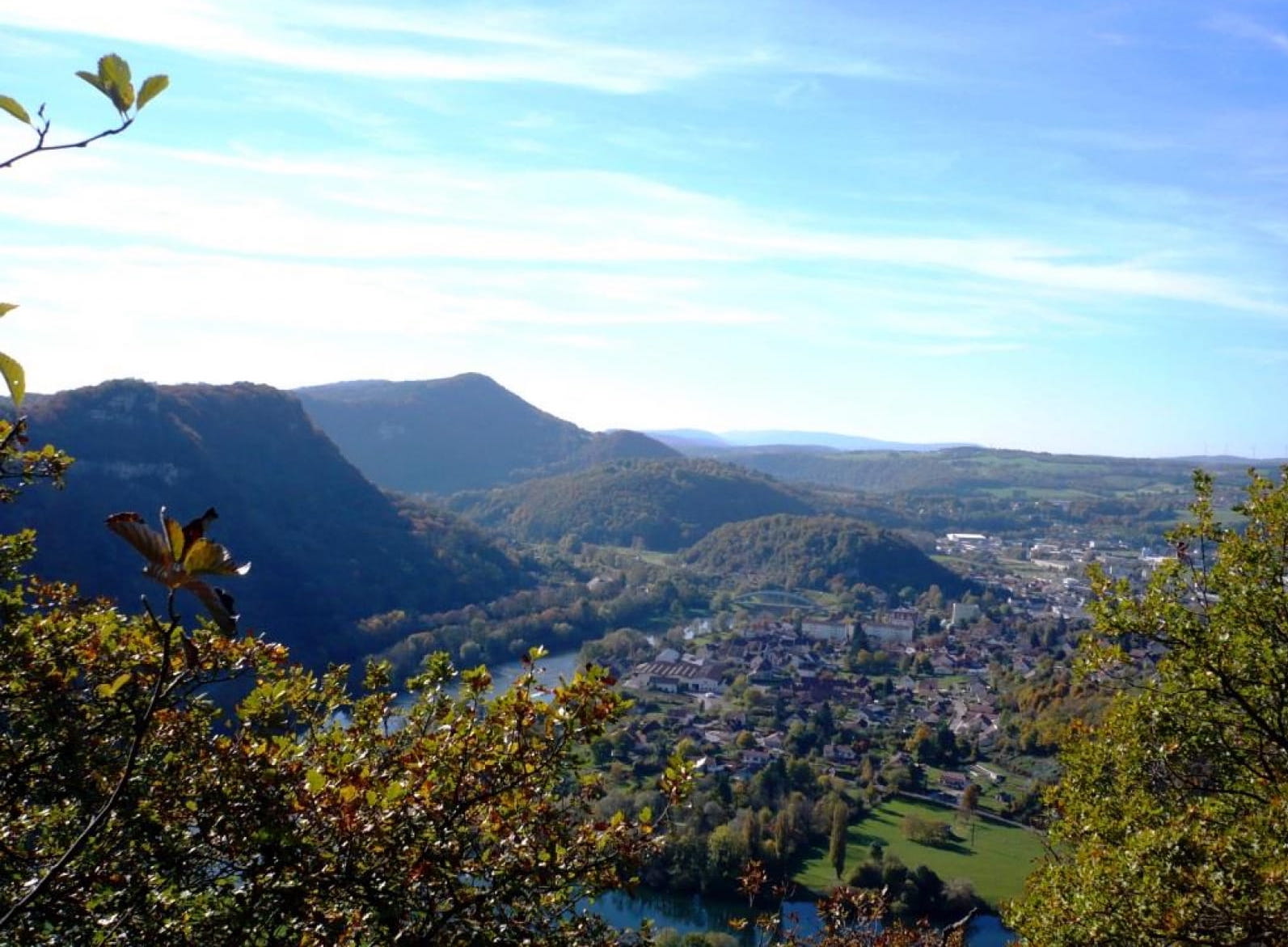
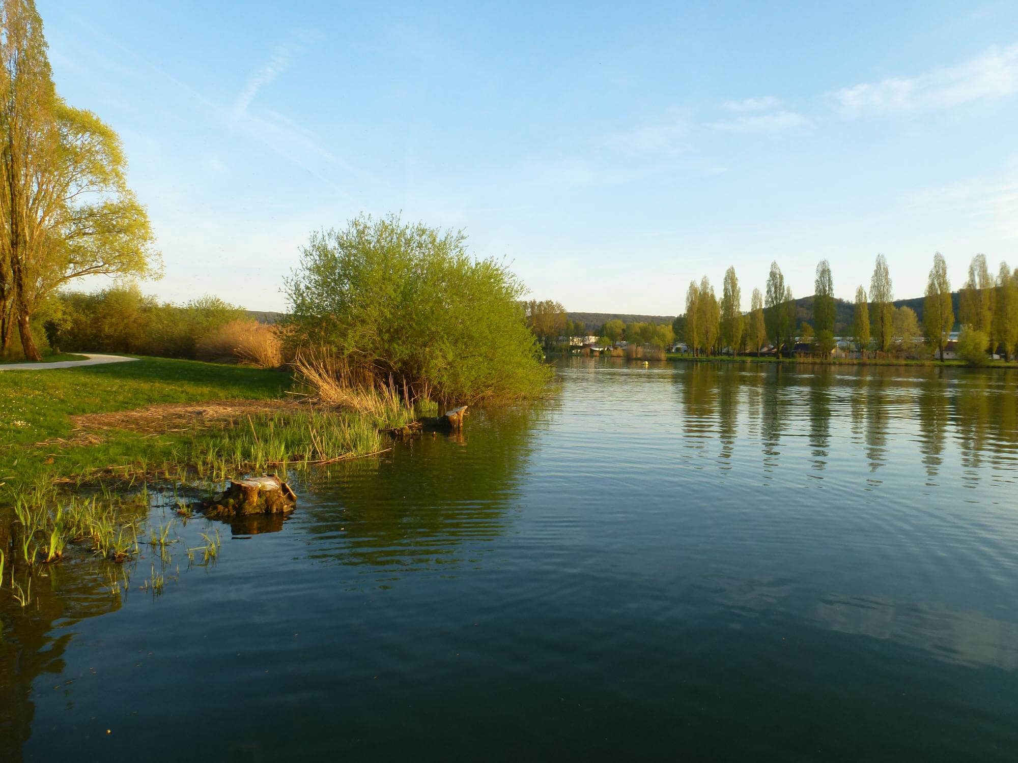
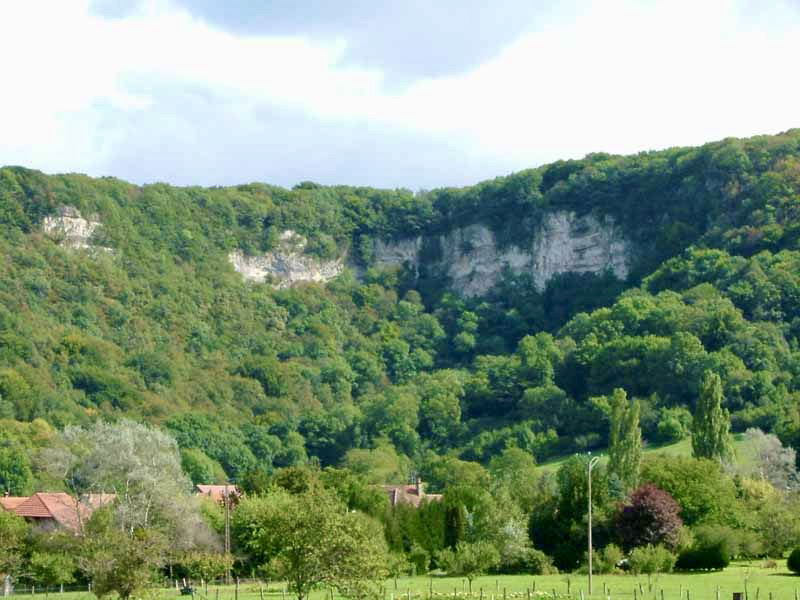
Departing from Nans, walk on a small mountain overlooking the city and offering a pretty belvedere on the plain of Rougemont. Passage by "La Gloriette", a monopter dominating the castle of Bournel.

Already more than 200,000 users!
Uphill
163m
Highest point
463m
Downhill
163m
Lowest point
307m
Route type
Loop
Download the map on your smartphone to save battery and rest assured to always keep access to the route, even without signal.
Includes IGN France and Swisstopo.
I indicate whether dogs are allowed or prohibited on this trail
All year
5 ratings
Also enjoy:

Already more than 200,000 users!