Uphill
110m
Length
7km
Duration
2h
Elev gain
110m
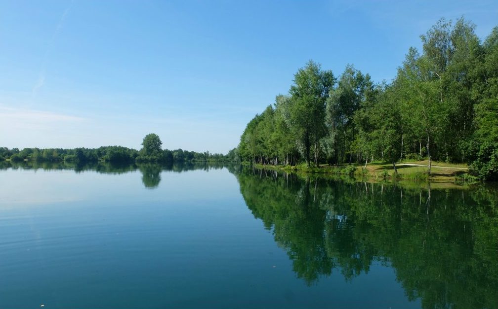
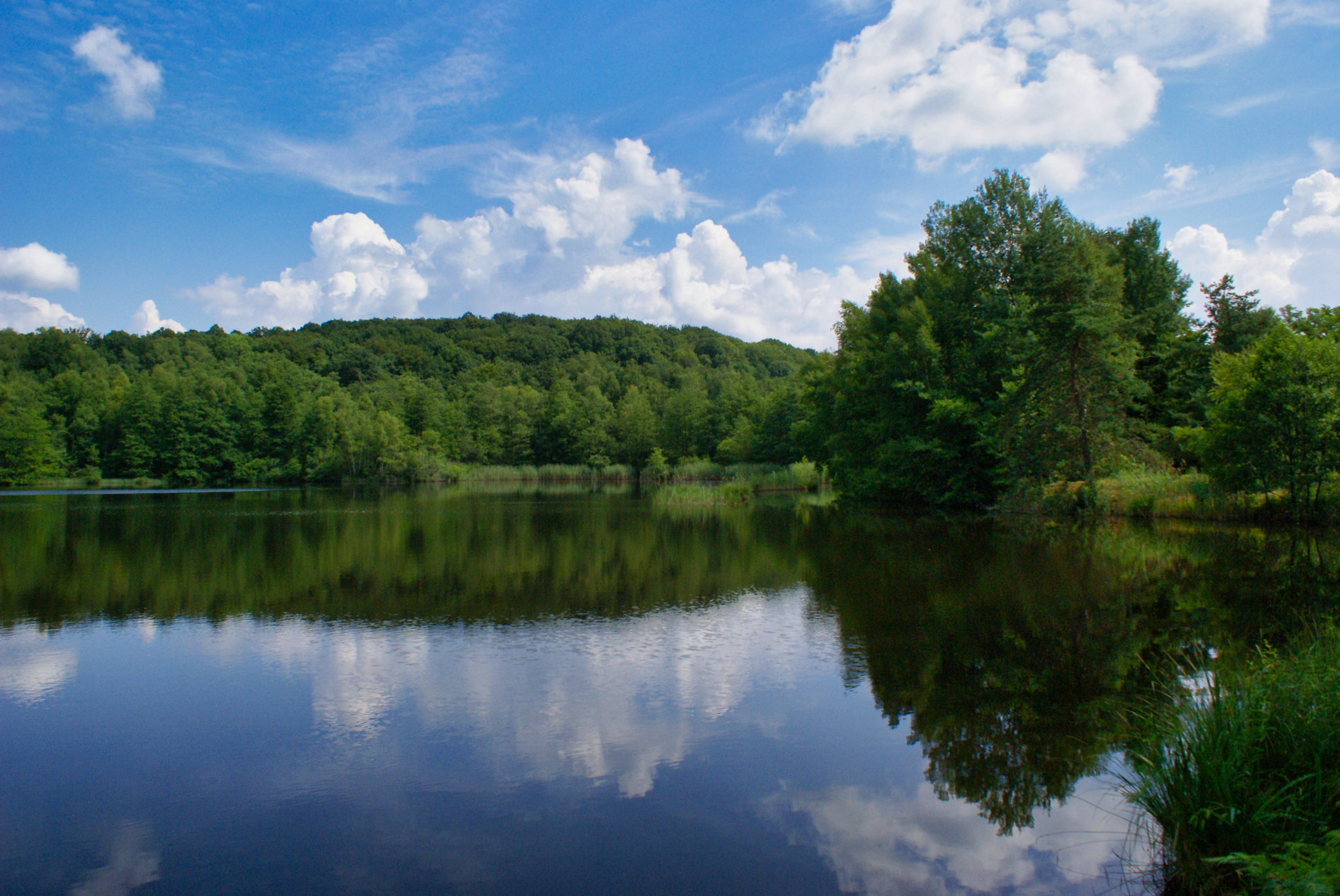
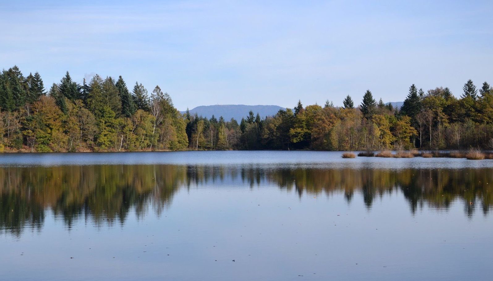
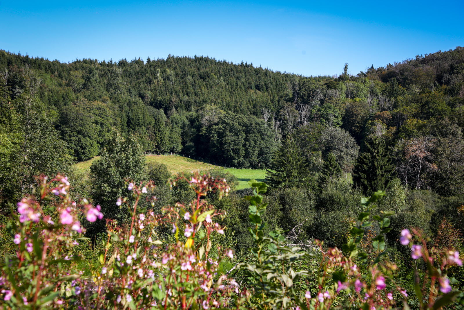
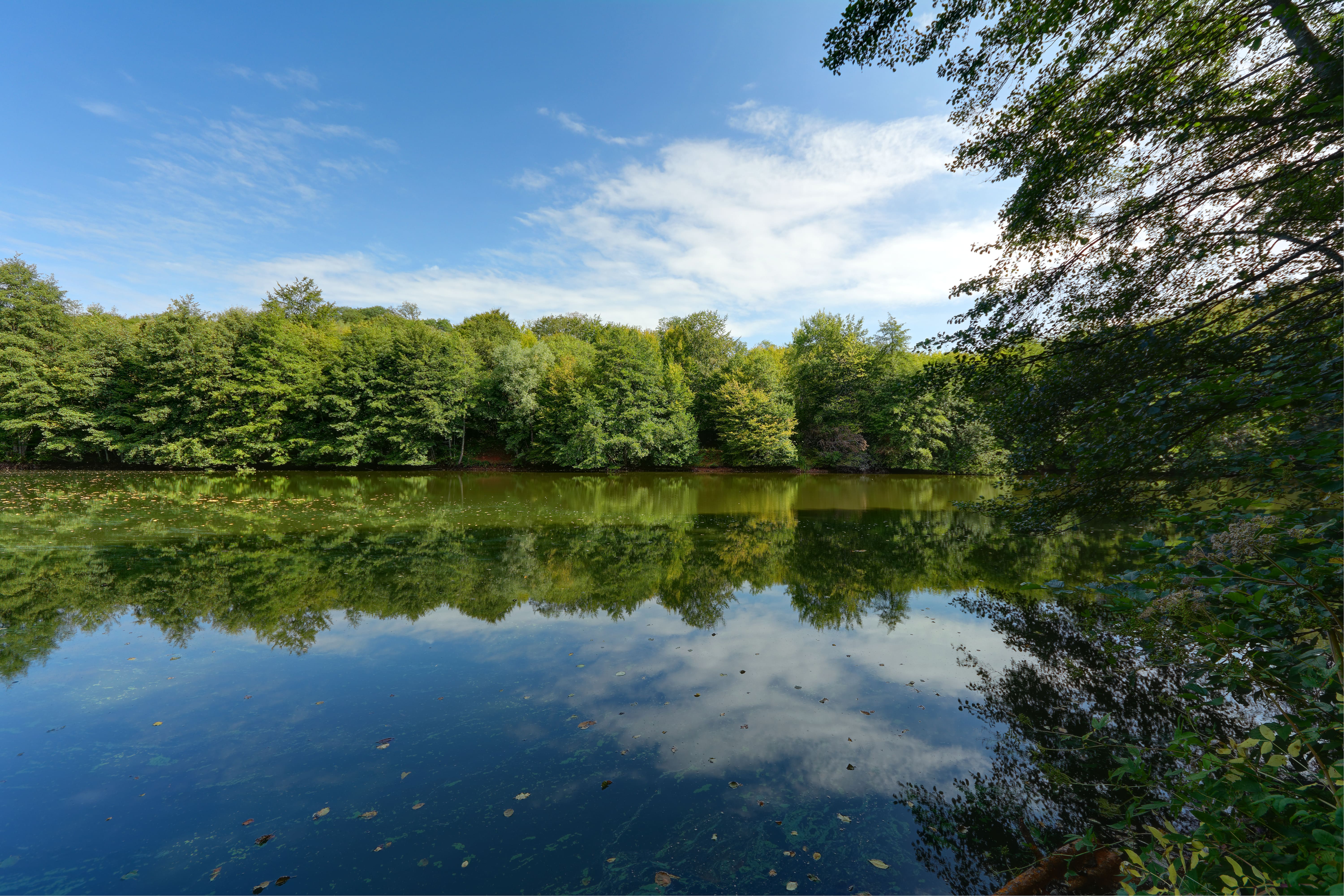
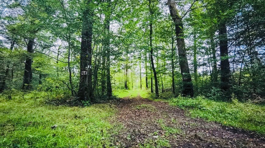
This walk takes place near the town of Lure. The path quickly goes into the forest then makes a loop in this pleasant and peaceful environment, passing near the Reigne.

Already more than 200,000 users!
Uphill
110m
Highest point
332m
Downhill
110m
Lowest point
268m
Route type
Loop
Download the map on your smartphone to save battery and rest assured to always keep access to the route, even without signal.
Includes IGN France and Swisstopo.
I indicate whether dogs are allowed or prohibited on this trail
All year
0 ratings
Also enjoy:

Already more than 200,000 users!