Uphill
155m
France > Bourgogne-Franche-Comté > Haute-Saône > Ballons des Vosges Regional Natural Park
Length
10km
Duration
3h
Elev gain
155m
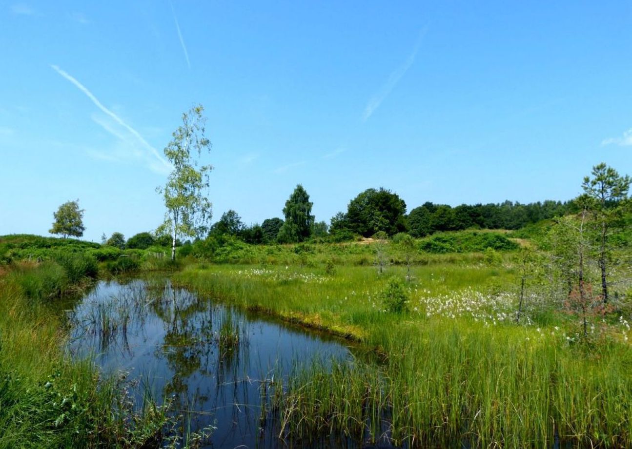
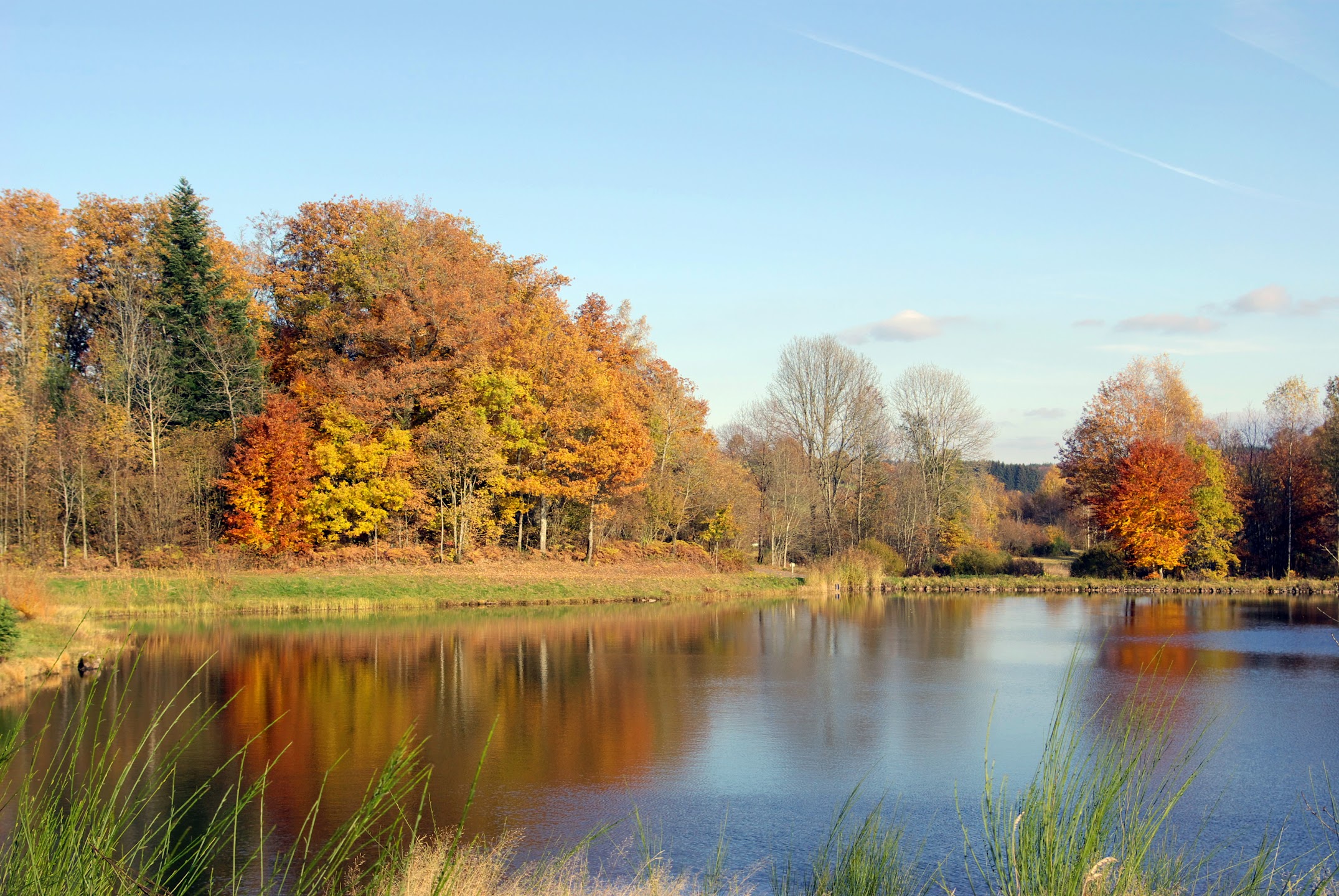
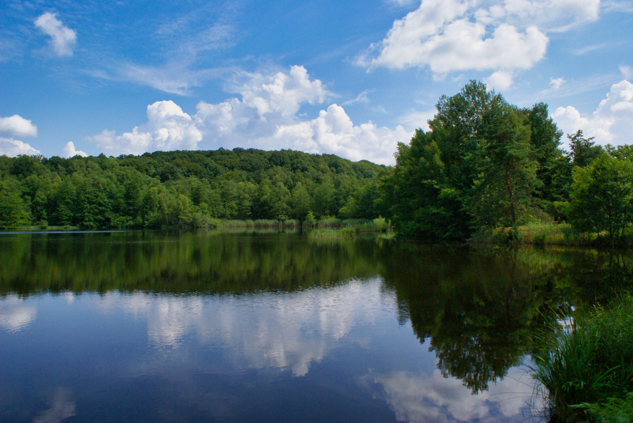
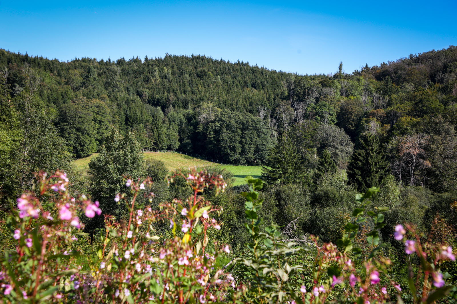
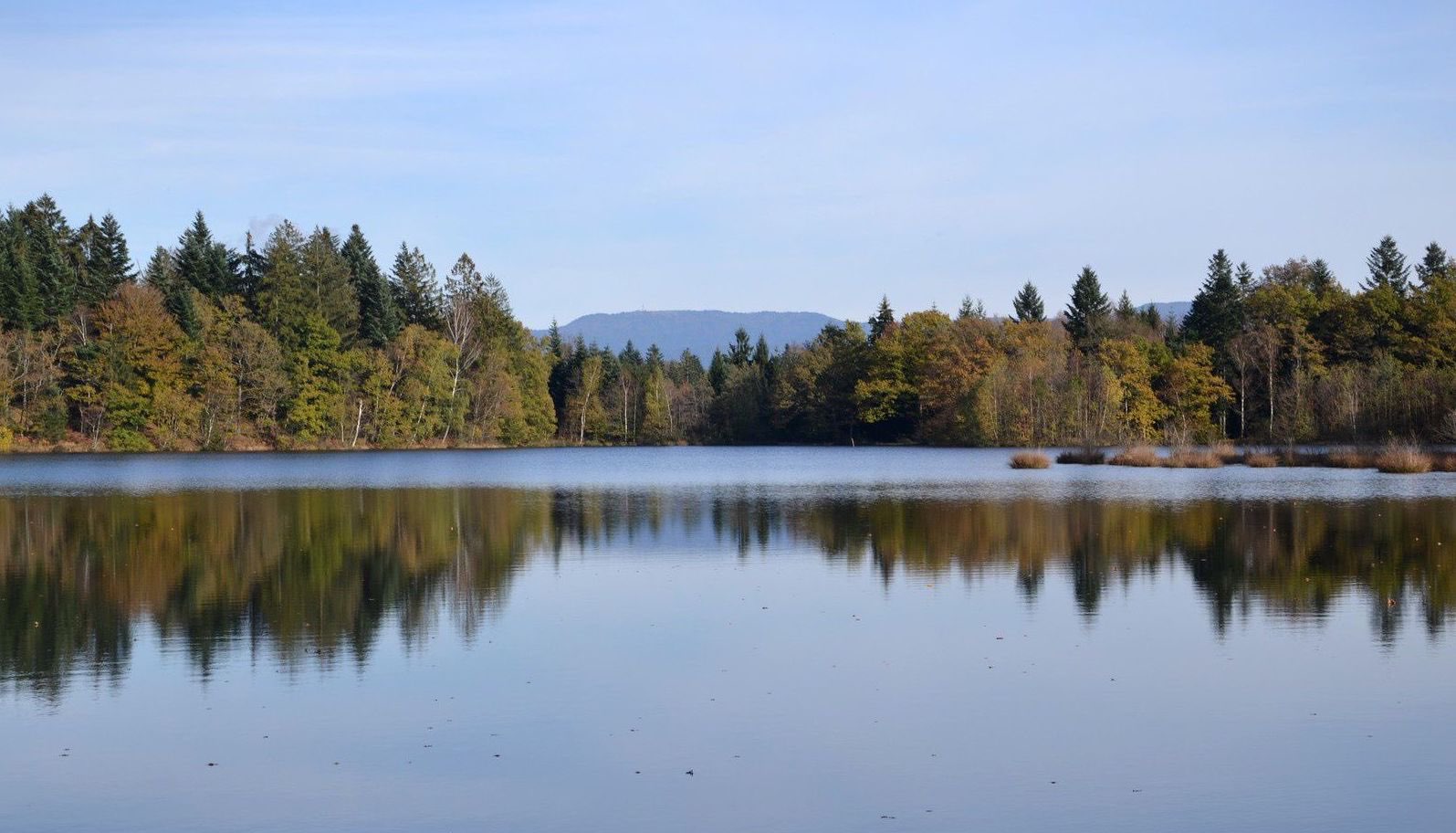
A walk between forest and ponds, starting from La Mer.

Already more than 200,000 users!
Uphill
155m
Highest point
490m
Downhill
155m
Lowest point
428m
Route type
Loop
Download the map on your smartphone to save battery and rest assured to always keep access to the route, even without signal.
Includes IGN France and Swisstopo.
I indicate whether dogs are allowed or prohibited on this trail
All year
1 rating
Also enjoy:

Already more than 200,000 users!