Uphill
296m
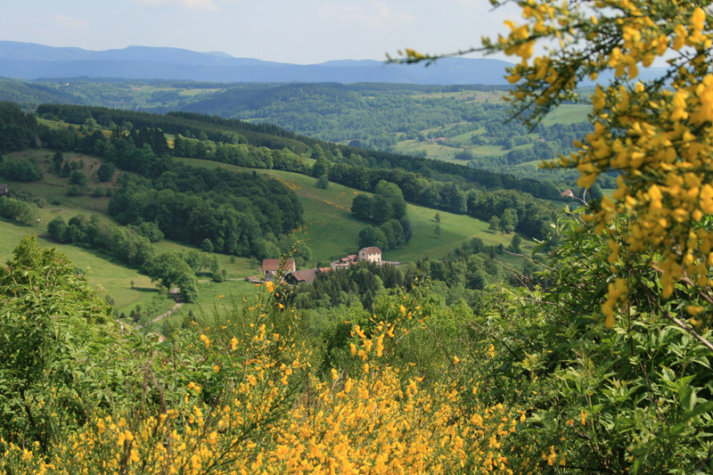
France > Bourgogne-Franche-Comté > Haute-Saône > Ballons des Vosges Regional Natural Park
Length
12km
Duration
3h30min
Elev gain
296m
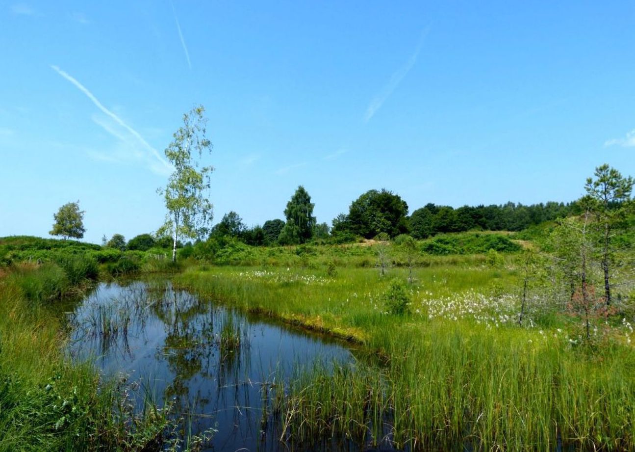
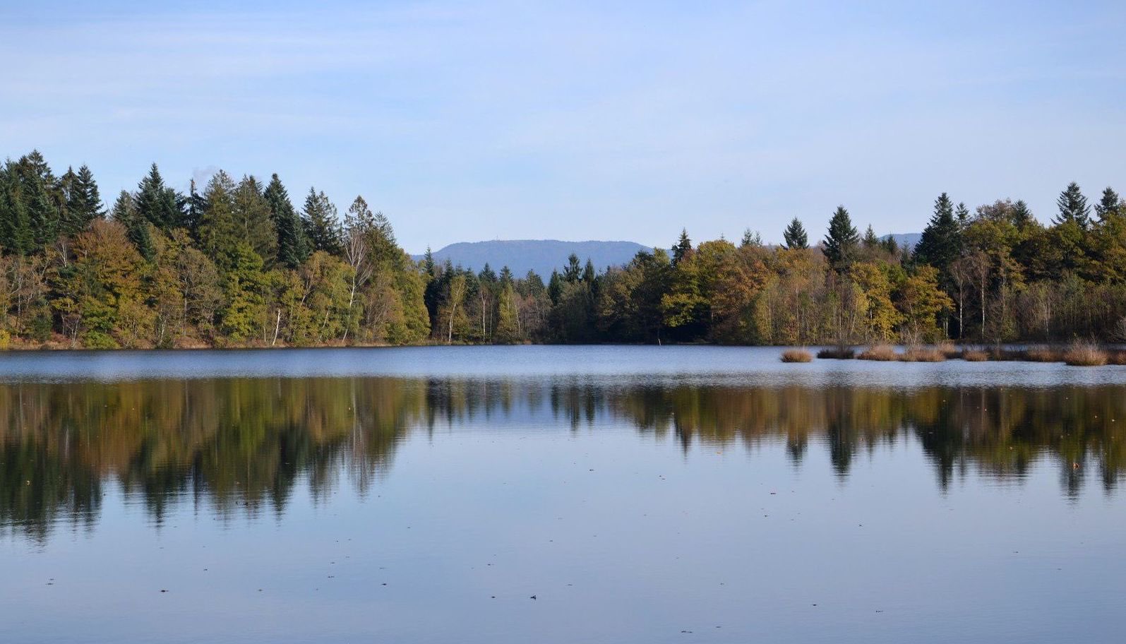
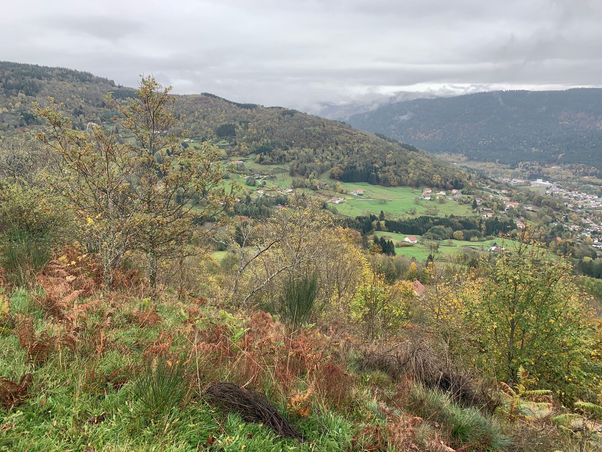
Hike through the forest to discover the many water points in the Mille Étangs region - the thousand lakes.

Already more than 200,000 users!
Uphill
296m
Highest point
709m
Downhill
296m
Lowest point
532m
Route type
Loop
Download the map on your smartphone to save battery and rest assured to always keep access to the route, even without signal.
Includes IGN France and Swisstopo.
I indicate whether dogs are allowed or prohibited on this trail
All year
0 ratings
Also enjoy:

Already more than 200,000 users!