Uphill
335m
France > Bourgogne-Franche-Comté > Haute-Saône > Ballons des Vosges Regional Natural Park
Length
7km
Duration
2h30min
Elev gain
335m
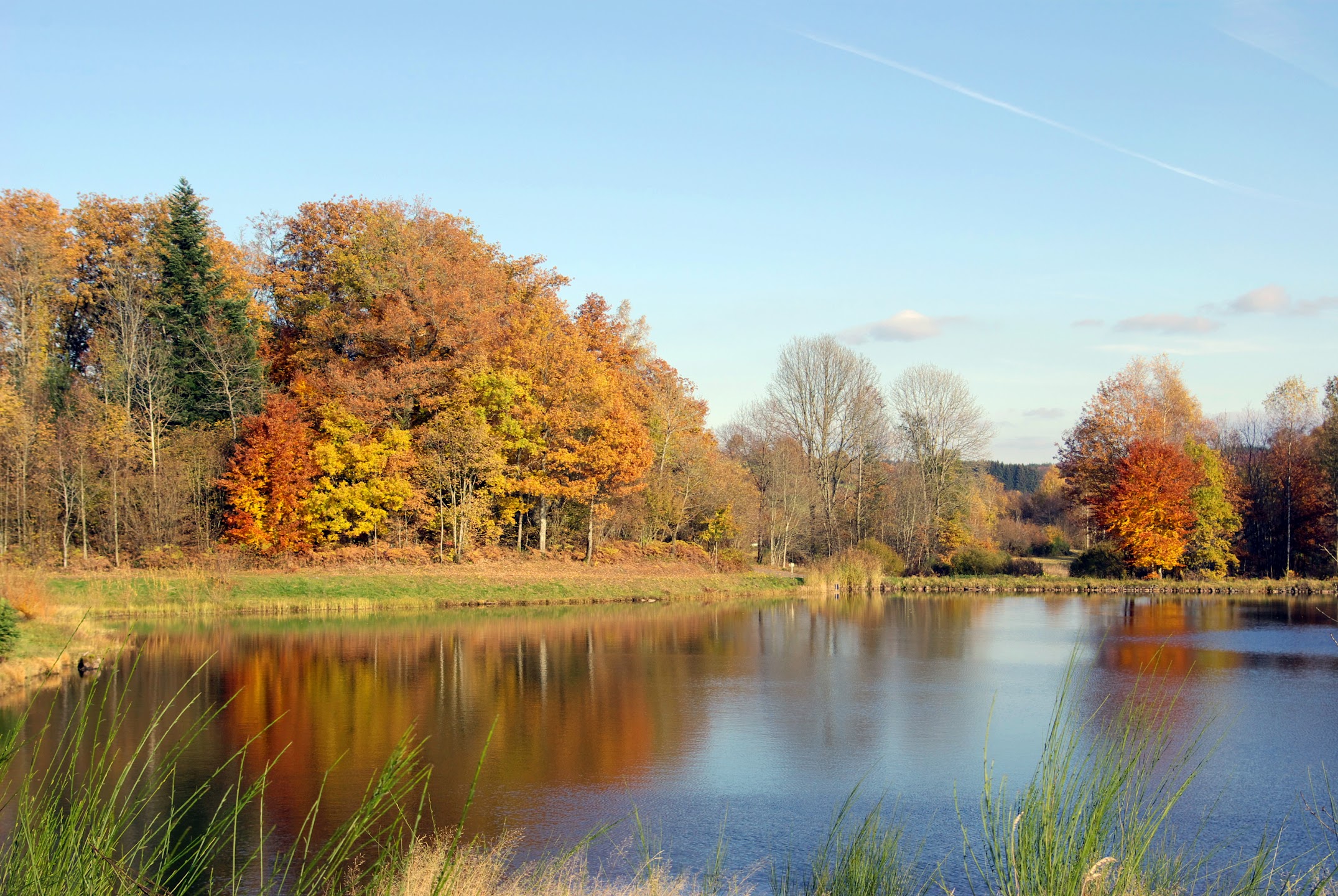
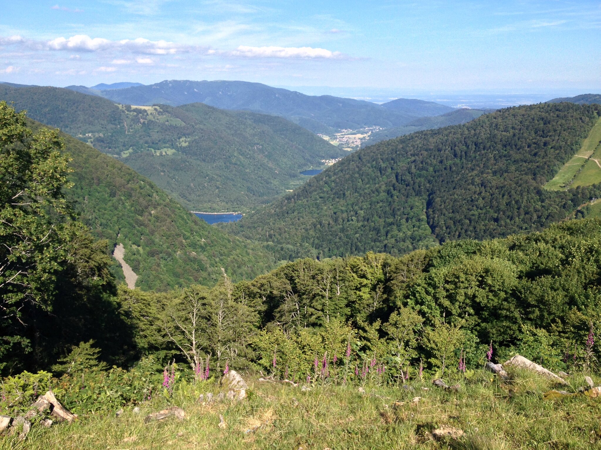
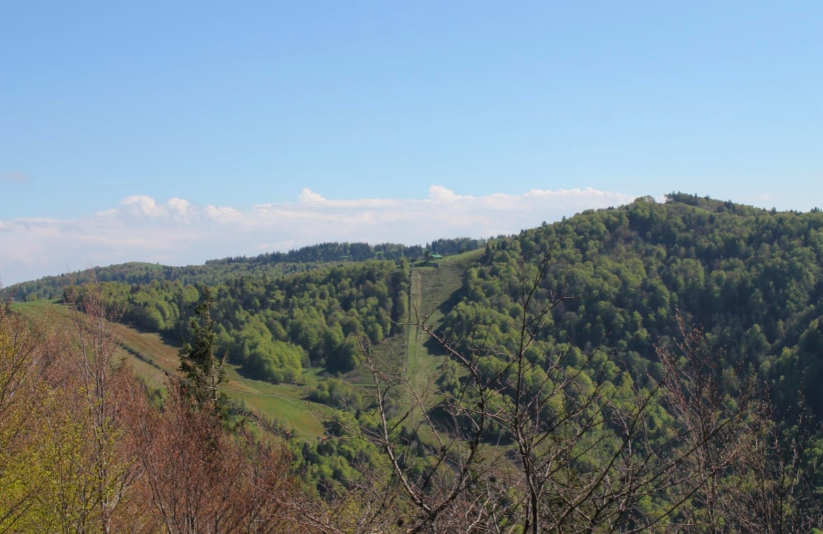
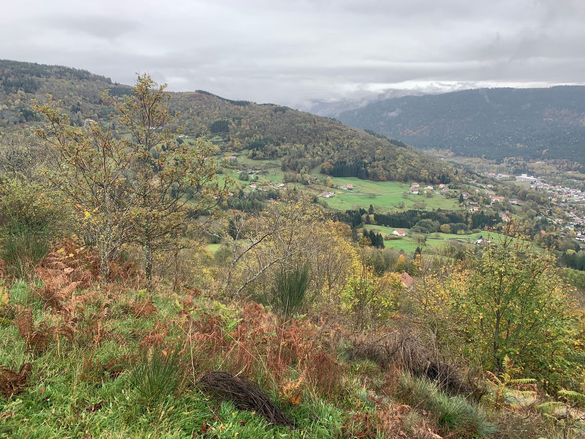
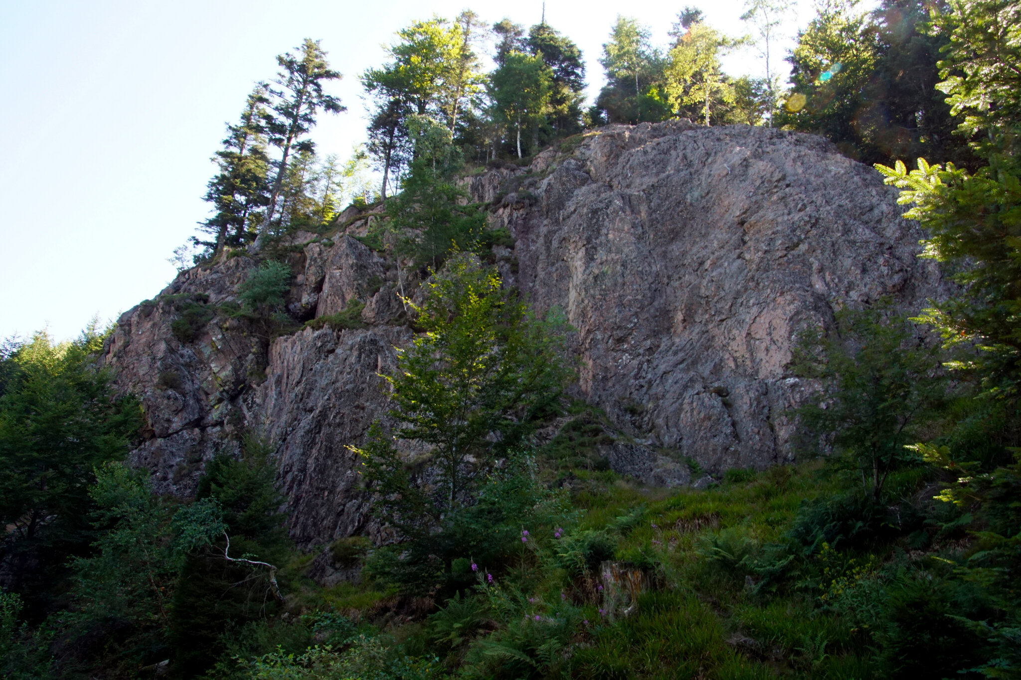
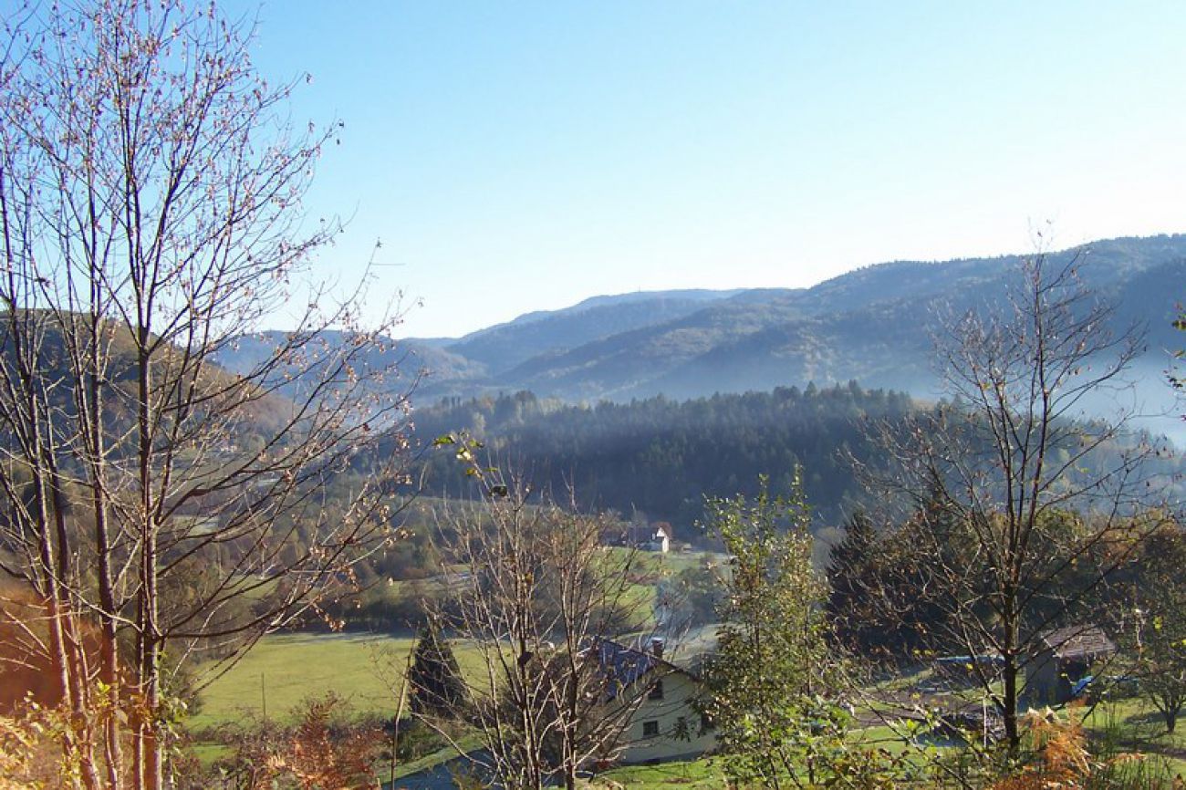
This pretty walk begins in the village of Haut-du-Them-Château-Lambert. The route follows the Ecoliers path, which takes the direction of Mouhémont to make a loop in a green and peaceful setting, between meadows and forest.

Already more than 200,000 users!
Uphill
335m
Highest point
807m
Downhill
335m
Lowest point
570m
Route type
Loop
Download the map on your smartphone to save battery and rest assured to always keep access to the route, even without signal.
Includes IGN France and Swisstopo.
I indicate whether dogs are allowed or prohibited on this trail
All year
1 rating
Also enjoy:

Already more than 200,000 users!