Uphill
324m
France > Grand Est > Vosges > Ballons des Vosges Regional Natural Park
Length
5km
Duration
2h30min
Elev gain
324m
Here is a pleasant hike starting from the La Bouloie car park.
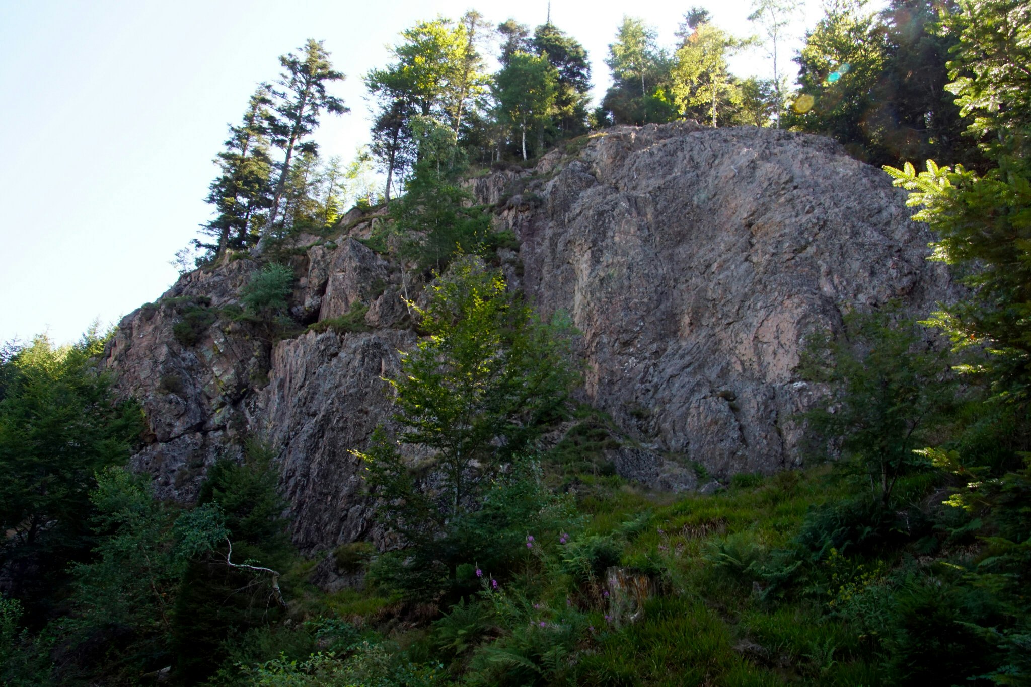
The trail climbs through the forest then passes through the rock of the Ours before crossing the Noiregoutte river. It then continues to the head of La Bouloie, the highest point of this hike where the view is pretty. The path then joins the starting point via the La Bouloie forest road.

Already more than 200,000 users!
Uphill
324m
Highest point
1177m
Downhill
324m
Lowest point
862m
Route type
Loop
Download the map on your smartphone to save battery and rest assured to always keep access to the route, even without signal.
Includes IGN France and Swisstopo.
I indicate whether dogs are allowed or prohibited on this trail
Can be difficult in Winter
0 ratings
Also enjoy:

Already more than 200,000 users!


