Uphill
921m
France > Grand Est > Haut-Rhin > Ballons des Vosges Regional Natural Park
Length
15km
Duration
7h
Elev gain
921m
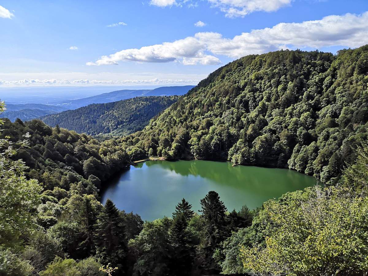
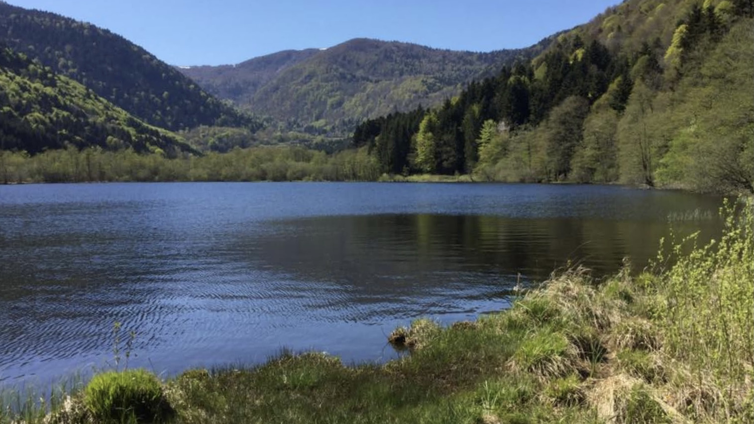
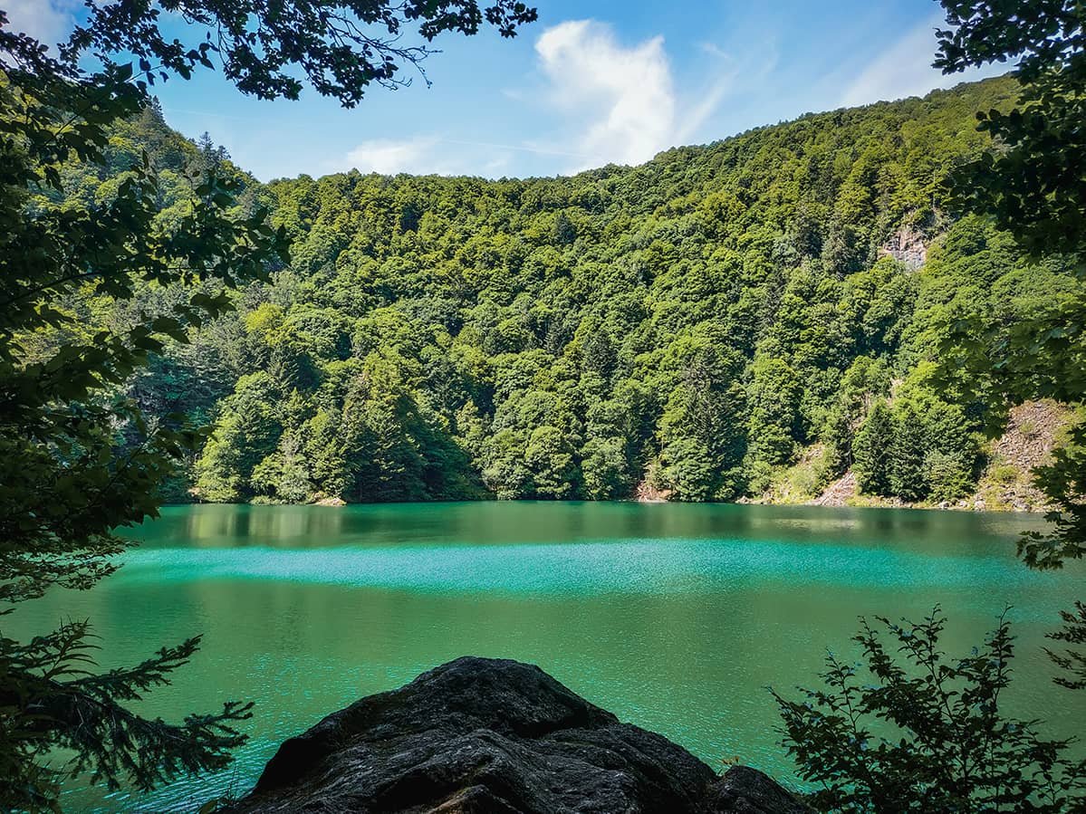
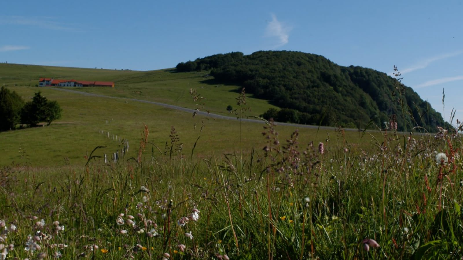
Here is a popular hike starting from Lac d'Alfeld, leading to the Ballon d'Alsace at 1,247 meters above sea level. Once at the top, the view of the Jura, the Black Forest and the crests of the Vosges is spectacular.
A little higher up is a very nice little inn to eat. The return goes via the Col de Ronde Tête then descends to the lake.

Already more than 200,000 users!
Uphill
921m
Highest point
1251m
Downhill
921m
Lowest point
607m
Route type
Loop
Download the map on your smartphone to save battery and rest assured to always keep access to the route, even without signal.
Includes IGN France and Swisstopo.
I indicate whether dogs are allowed or prohibited on this trail
Can be difficult in Winter
1 rating
Also enjoy:

Already more than 200,000 users!