Uphill
1103m
France > Grand Est > Haut-Rhin > Ballons des Vosges Regional Natural Park
Length
18km
Duration
8h
Elev gain
1103m
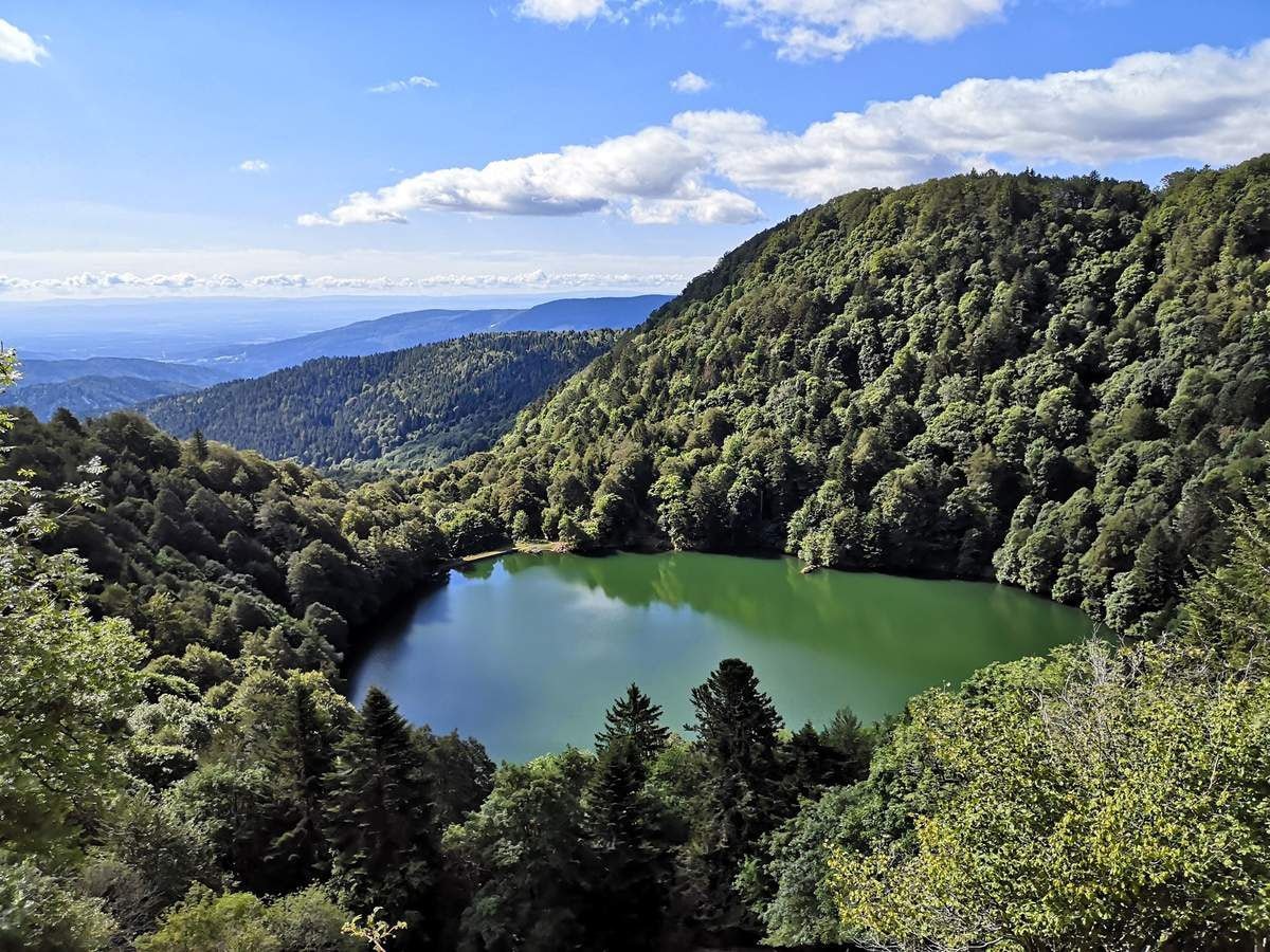
Here is a sporty hike where the beautiful landscapes are deserved. The route begins at Lake Alfeld, then passes through three inns, by the lake of Neuweiher, before arriving at Lake Perches.
The trail then continues to the head of the Perches then returns to the starting point via a ridge.

Already more than 200,000 users!
Uphill
1103m
Highest point
1251m
Downhill
1107m
Lowest point
520m
Route type
Loop
Download the map on your smartphone to save battery and rest assured to always keep access to the route, even without signal.
Includes IGN France and Swisstopo.
I indicate whether dogs are allowed or prohibited on this trail
Can be difficult in Winter
1 rating
Also enjoy:

Already more than 200,000 users!


