Uphill
271m
Length
4km
Duration
2h
Elev gain
271m
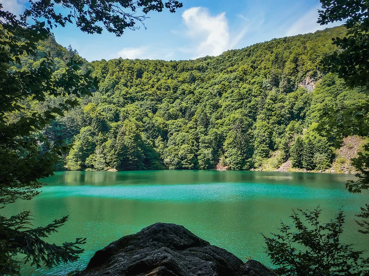
Departing from Rouge Gazon, this route makes a nice loop around the Tête des Perches. The path rushes into the forest to reach the Col des Perches then the lake bearing the same name. The path then continues, between forest and meadows, and offers beautiful views of the Vosges forest before reaching the starting point.

Already more than 200,000 users!
Uphill
271m
Highest point
1217m
Downhill
271m
Lowest point
981m
Route type
Loop
Download the map on your smartphone to save battery and rest assured to always keep access to the route, even without signal.
Includes IGN France and Swisstopo.
I indicate whether dogs are allowed or prohibited on this trail
Can be difficult in Winter
0 ratings
Also enjoy:

Already more than 200,000 users!


