Uphill
426m
France > Grand Est > Haut-Rhin > Ballons des Vosges Regional Natural Park
Length
8km
Duration
3h30min
Elev gain
426m
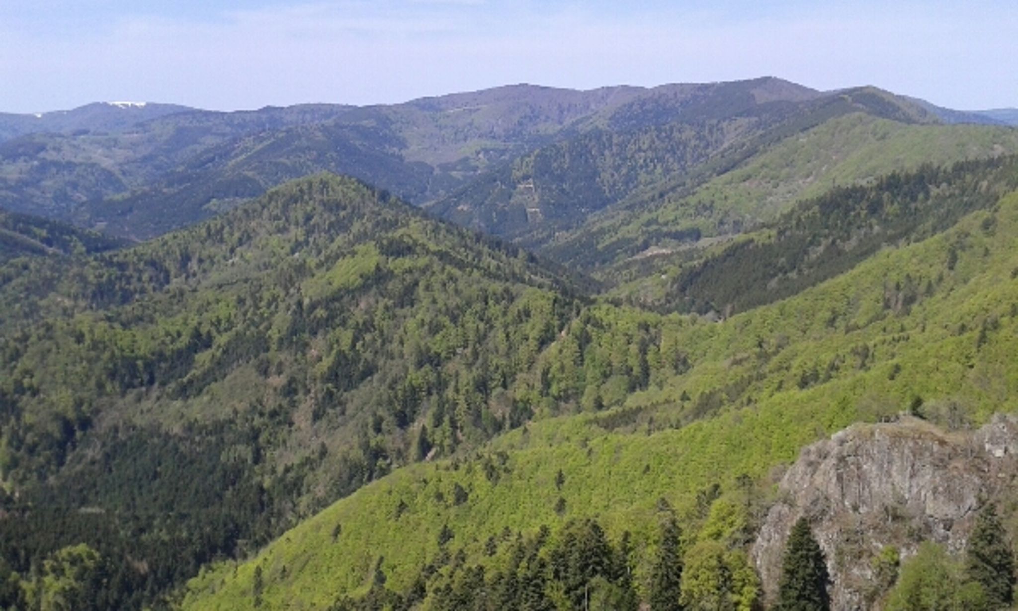
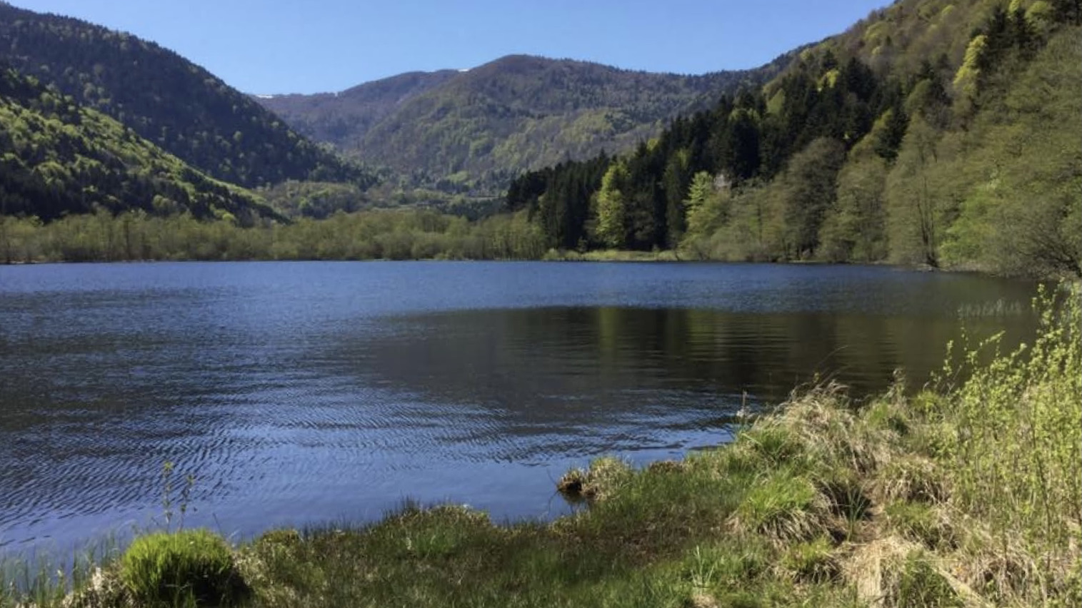
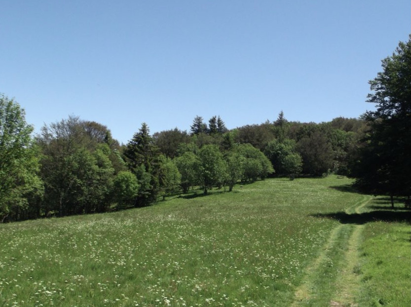
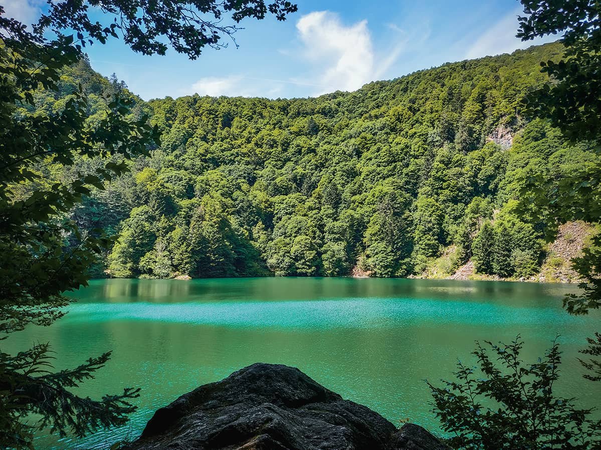
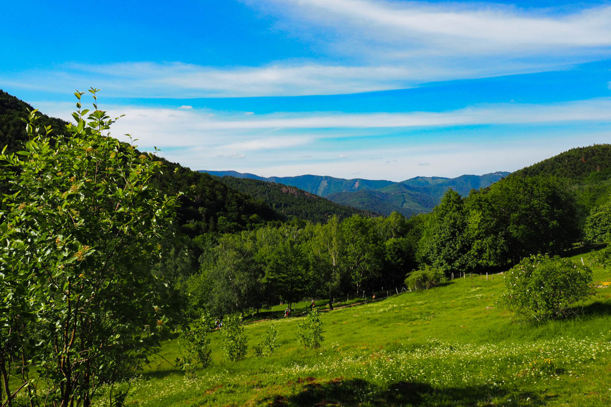
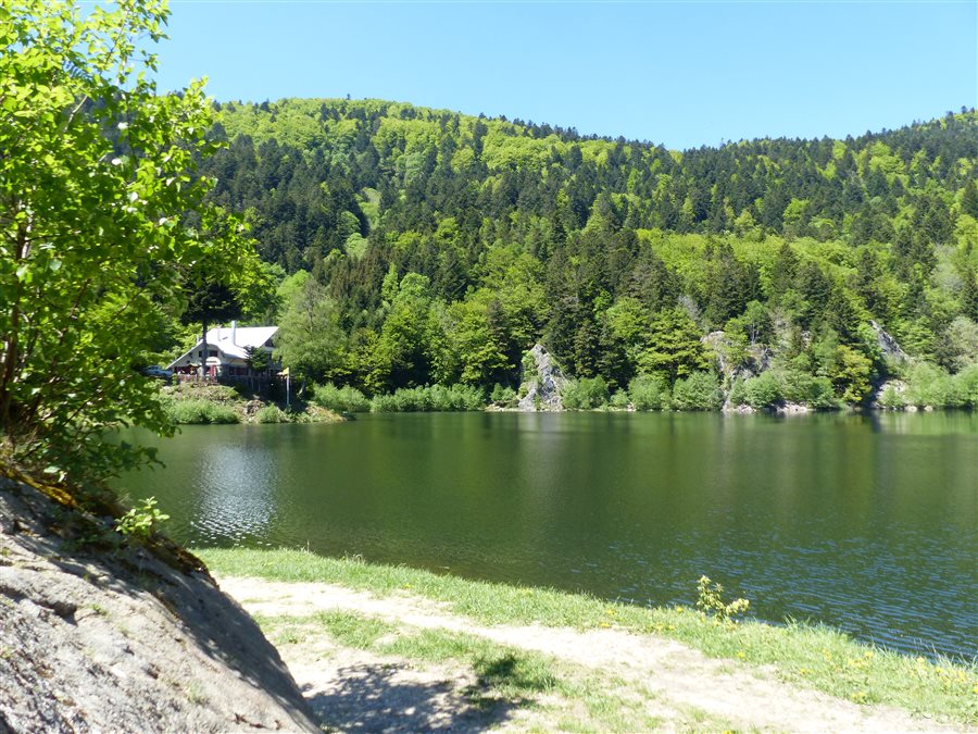
This hike allows you to discover the lakes of Neuweiher and the pastures of Gresson, splendid landscapes typical of the Vosges. The circuit is well laid out for a lunch break, whether it's a picnic or a stop at the Neuweiher and Gresson inns.

Already more than 200,000 users!
Uphill
426m
Highest point
966m
Downhill
426m
Lowest point
528m
Route type
Loop
Download the map on your smartphone to save battery and rest assured to always keep access to the route, even without signal.
Includes IGN France and Swisstopo.
I indicate whether dogs are allowed or prohibited on this trail
Can be difficult in Winter
1 rating
Also enjoy:

Already more than 200,000 users!