Uphill
469m
France > Grand Est > Haut-Rhin > Ballons des Vosges Regional Natural Park
Length
10km
Duration
4h
Elev gain
469m
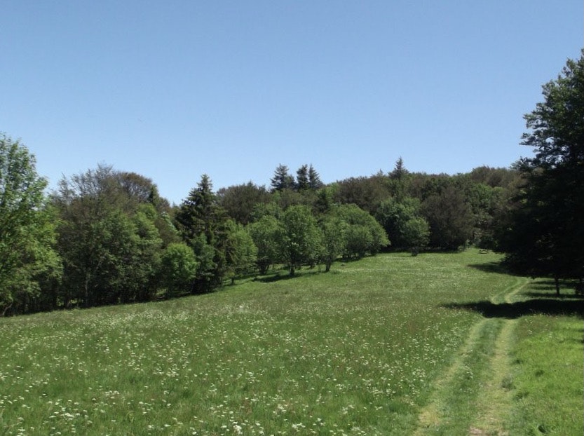
Departing from Lachtelweiher lake, this walk begins by alternating between undergrowth and meadows, thus offering lovely views of the Doller valley and passing by its source. The path then takes the crest of Baerenkopf (1,074 m), which marked the border between France and Germany from 1871 to 1918.

Already more than 200,000 users!
Uphill
469m
Highest point
1071m
Downhill
469m
Lowest point
734m
Route type
Loop
Download the map on your smartphone to save battery and rest assured to always keep access to the route, even without signal.
Includes IGN France and Swisstopo.
I indicate whether dogs are allowed or prohibited on this trail
Can be difficult in Winter
0 ratings
Also enjoy:

Already more than 200,000 users!


