Uphill
660m
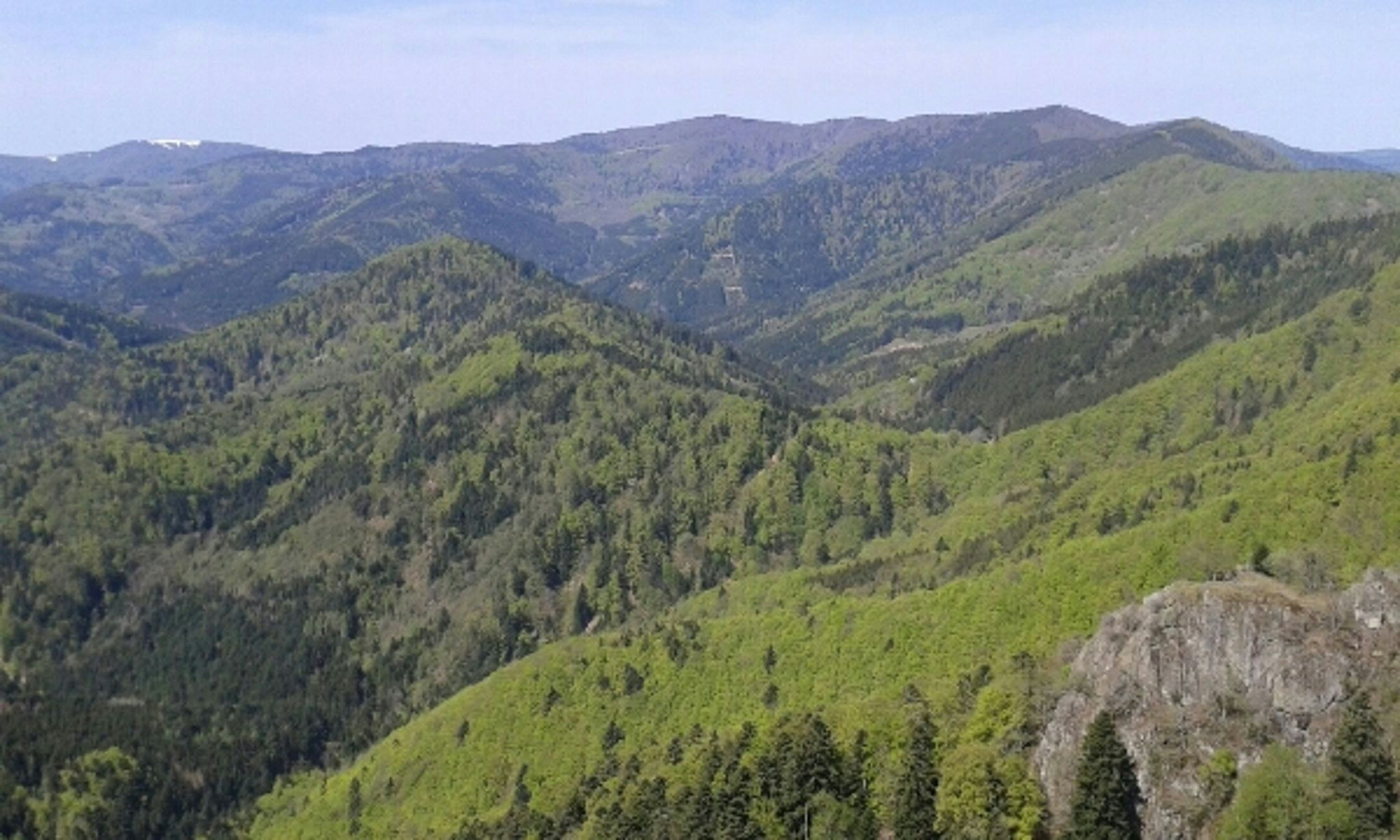
France > Grand Est > Haut-Rhin > Ballons des Vosges Regional Natural Park
Length
11km
Duration
5h
Elev gain
660m
Here is a beautiful hike that is both physical and technical. On the heights of Wegscheid, the route makes a loop in the heart of the forest of the Volcanoes and passes by the Belacker inn, where a short break is essential.
The return passes by the Stahlberg chalet before reaching the starting point.

Already more than 200,000 users!
Uphill
660m
Highest point
1073m
Downhill
660m
Lowest point
525m
Route type
Loop
Download the map on your smartphone to save battery and rest assured to always keep access to the route, even without signal.
Includes IGN France and Swisstopo.
I indicate whether dogs are allowed or prohibited on this trail
Can be difficult in Winter
0 ratings
Also enjoy:

Already more than 200,000 users!


