Uphill
669m
France > Grand Est > Haut-Rhin > Ballons des Vosges Regional Natural Park
Length
11km
Duration
5h
Elev gain
669m
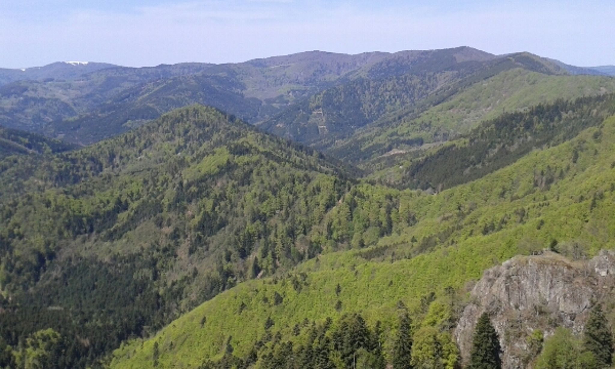
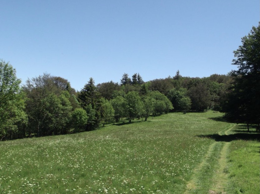
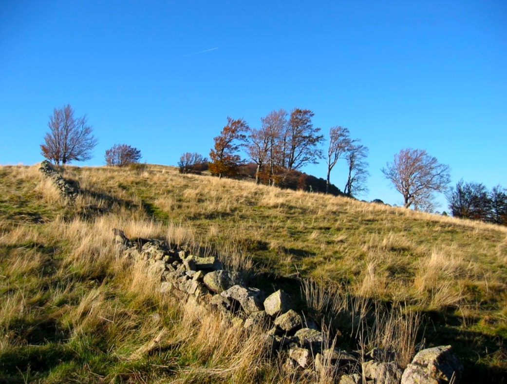
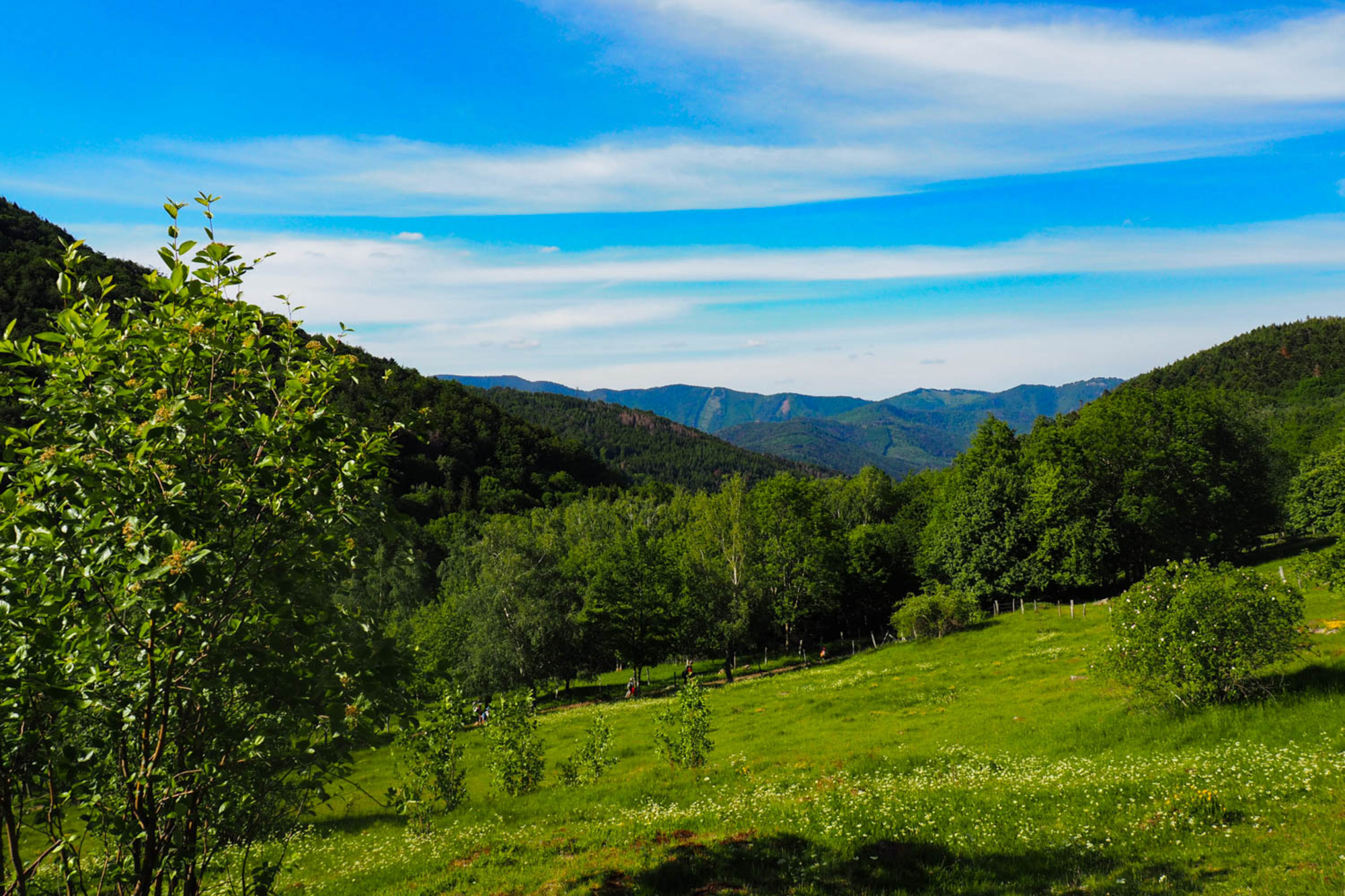
This is a hike that is both challenging and technical from Niederbruck. The route, mainly in the forest, leads to the summit of Baerenkopf (1,074 m) where the view of the Doller and Madeleine valleys is magnificent.
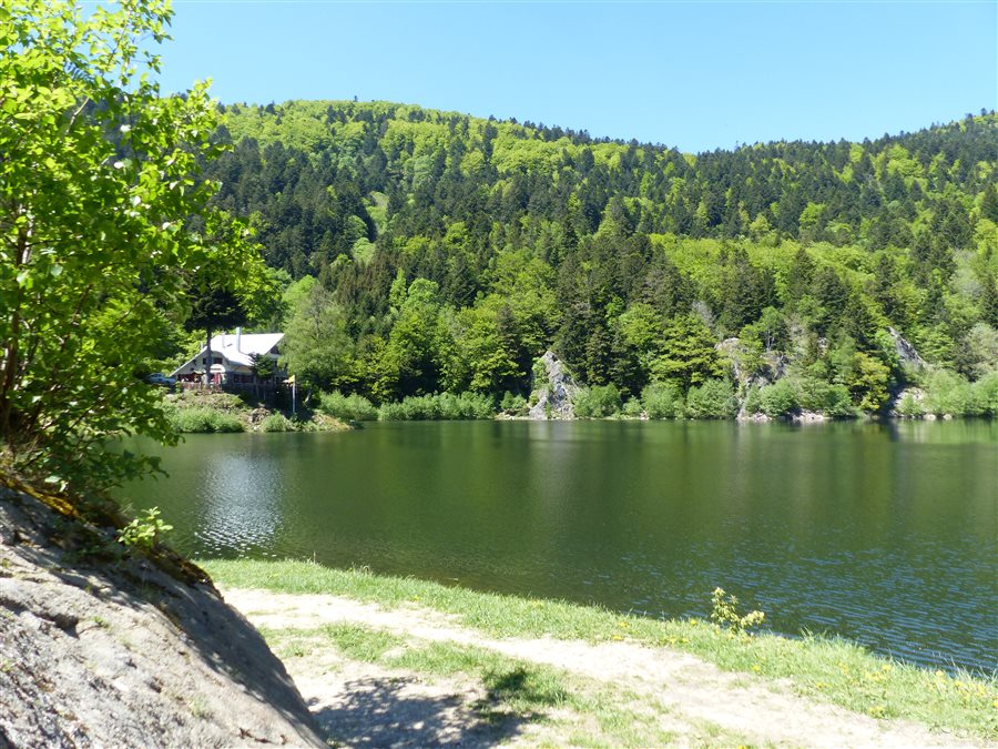
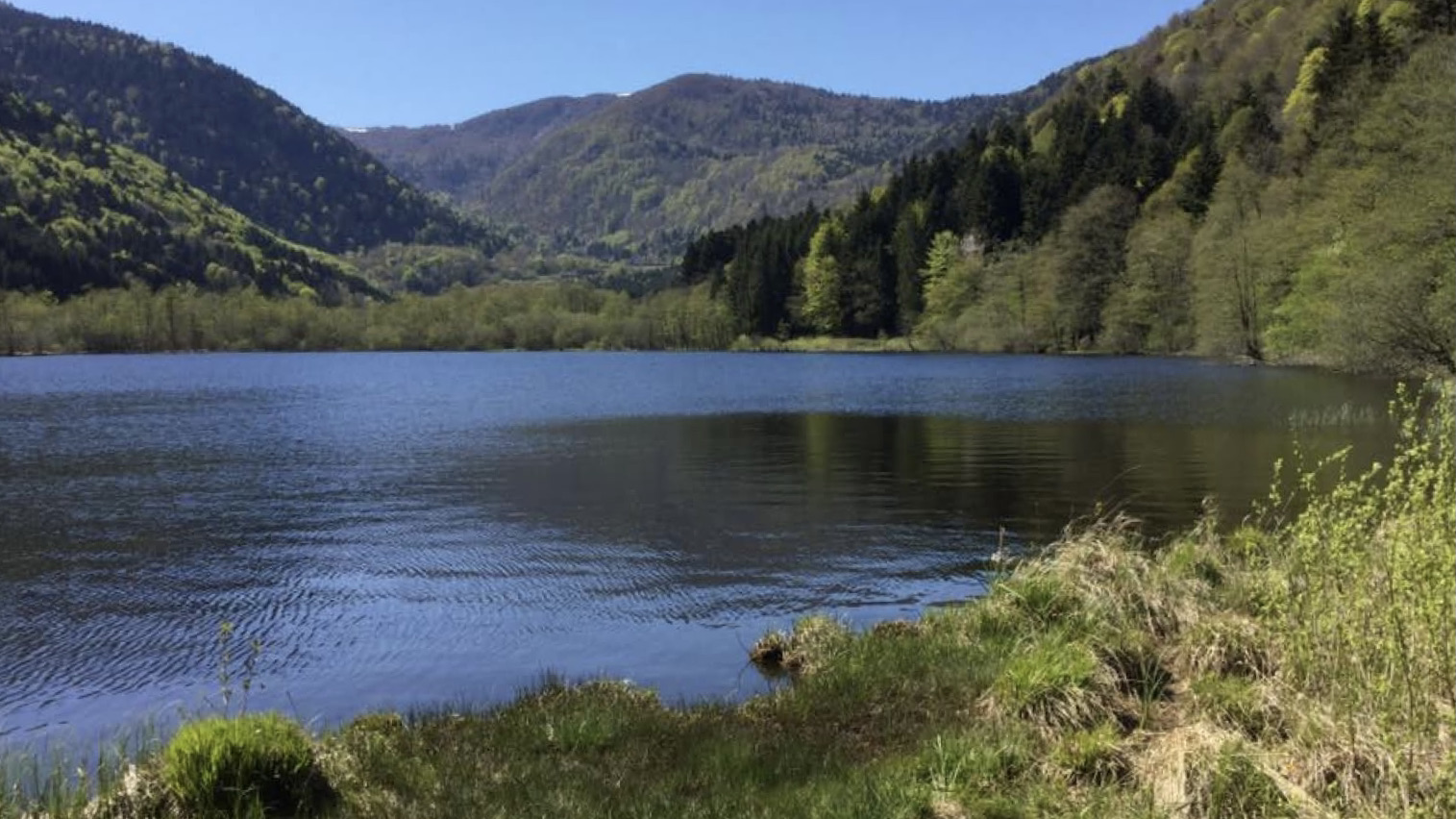
The trail also passes by the charming Lachtelweiher lake, and near the Bruckenwald inn.

Already more than 200,000 users!
Uphill
669m
Highest point
1071m
Downhill
669m
Lowest point
430m
Route type
Loop
Download the map on your smartphone to save battery and rest assured to always keep access to the route, even without signal.
Includes IGN France and Swisstopo.
I indicate whether dogs are allowed or prohibited on this trail
Can be difficult in Winter
1 rating
Also enjoy:

Already more than 200,000 users!