Uphill
351m
France > Grand Est > Haut-Rhin > Ballons des Vosges Regional Natural Park
Length
7km
Duration
3h
Elev gain
351m
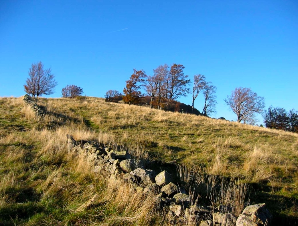
Popular hike in the Rossberg massif starting from the Hundsruck pass. On the outward journey, the path climbs through the undergrowth until it tickles the summit of Thanner Hubel, in order to offer a breathtaking view of the valley and the Black Forest. The return to the starting point descends through the forest.

Already more than 200,000 users!
Uphill
351m
Highest point
1115m
Downhill
351m
Lowest point
760m
Route type
Loop
Download the map on your smartphone to save battery and rest assured to always keep access to the route, even without signal.
Includes IGN France and Swisstopo.
I indicate whether dogs are allowed or prohibited on this trail
Can be difficult in Winter
1 rating
Also enjoy:

Already more than 200,000 users!


