Uphill
407m
France > Grand Est > Haut-Rhin > Ballons des Vosges Regional Natural Park
Length
9km
Duration
3h30min
Elev gain
407m
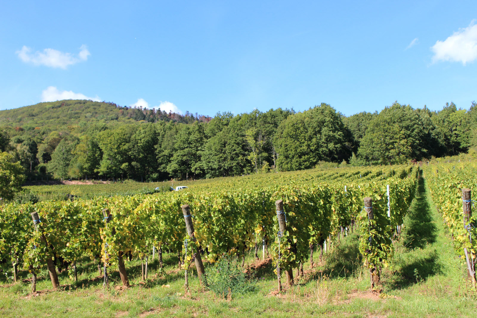
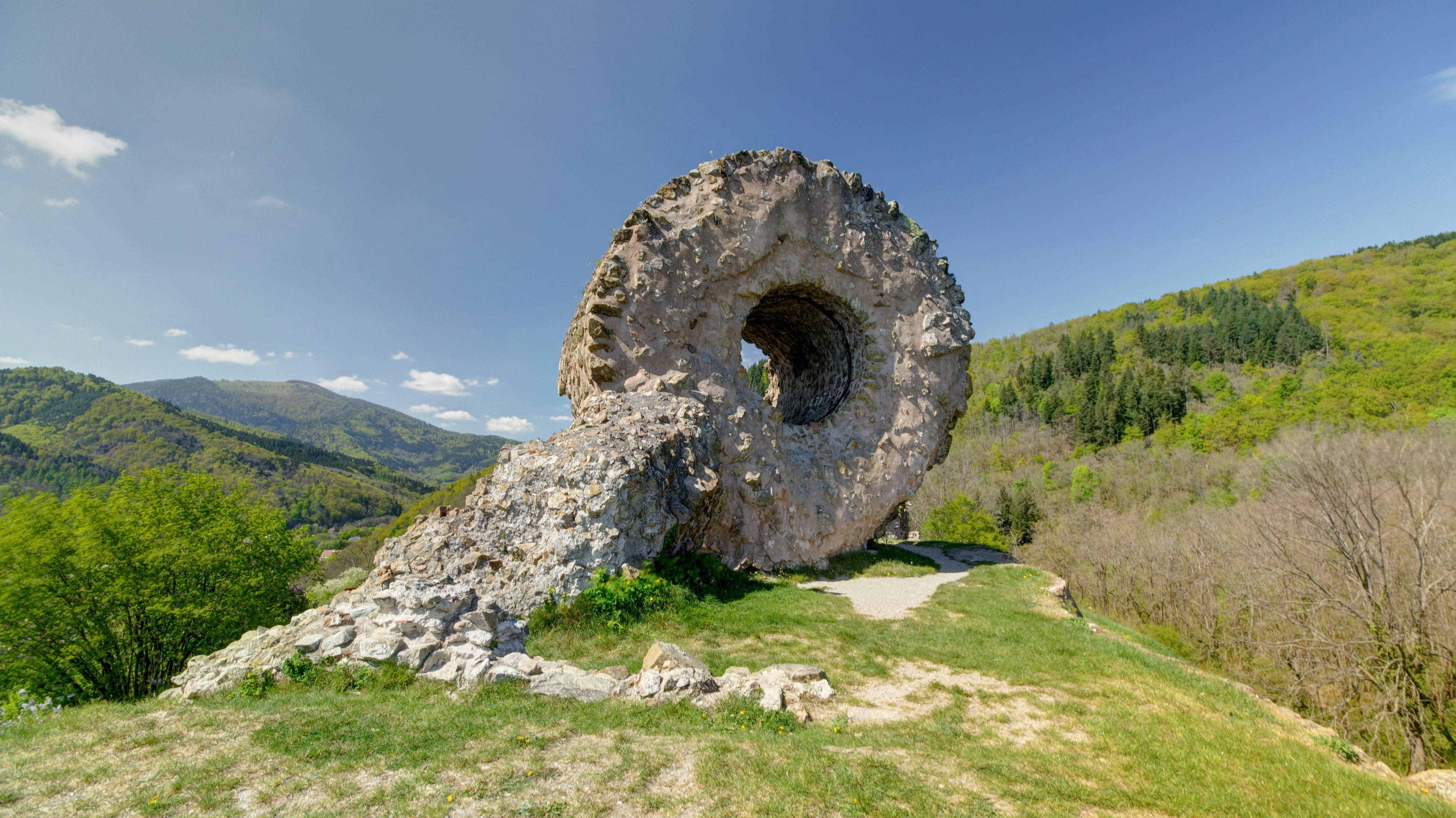
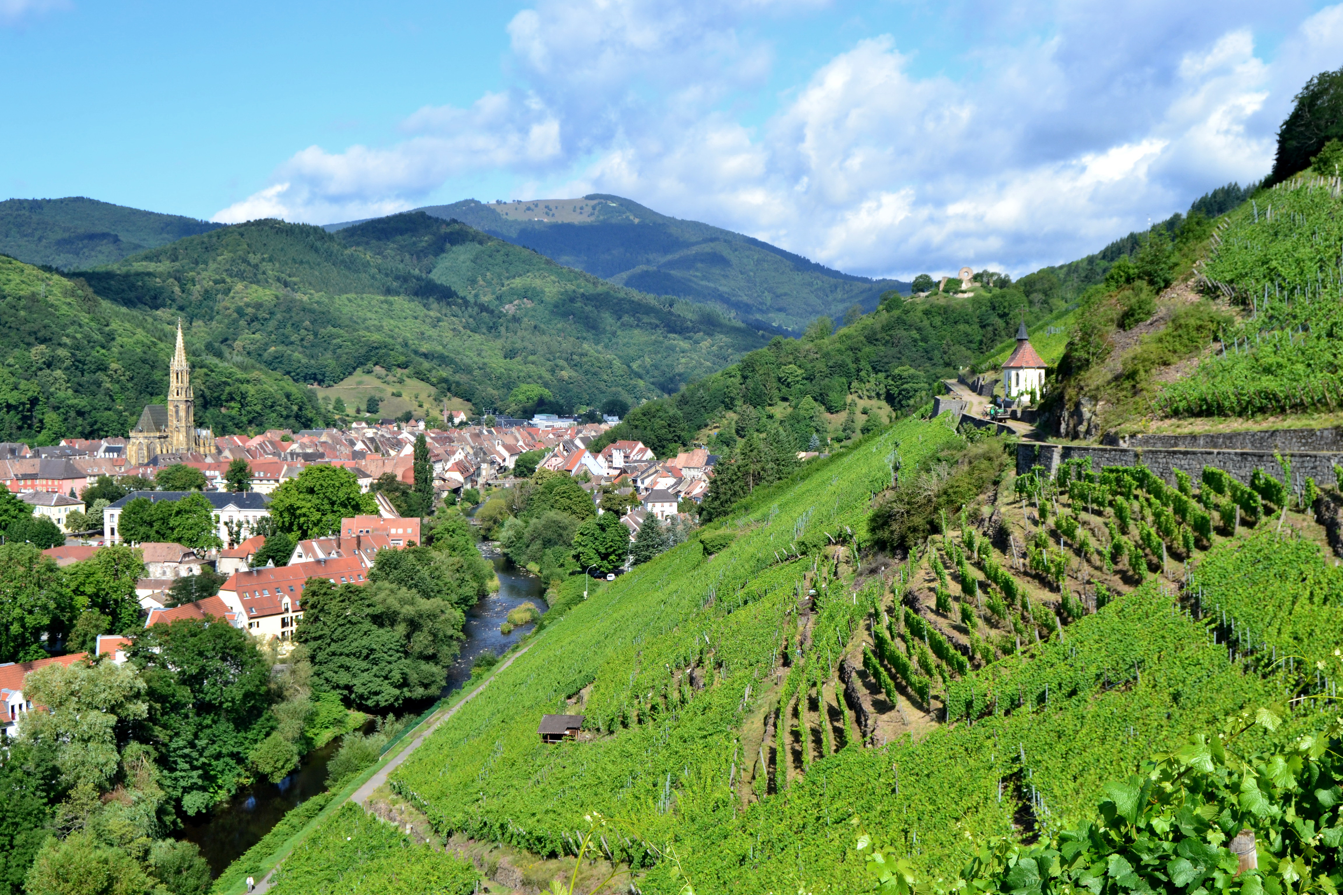
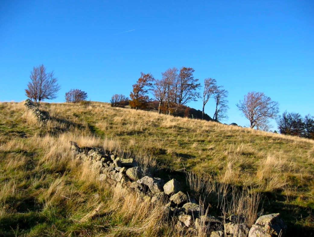
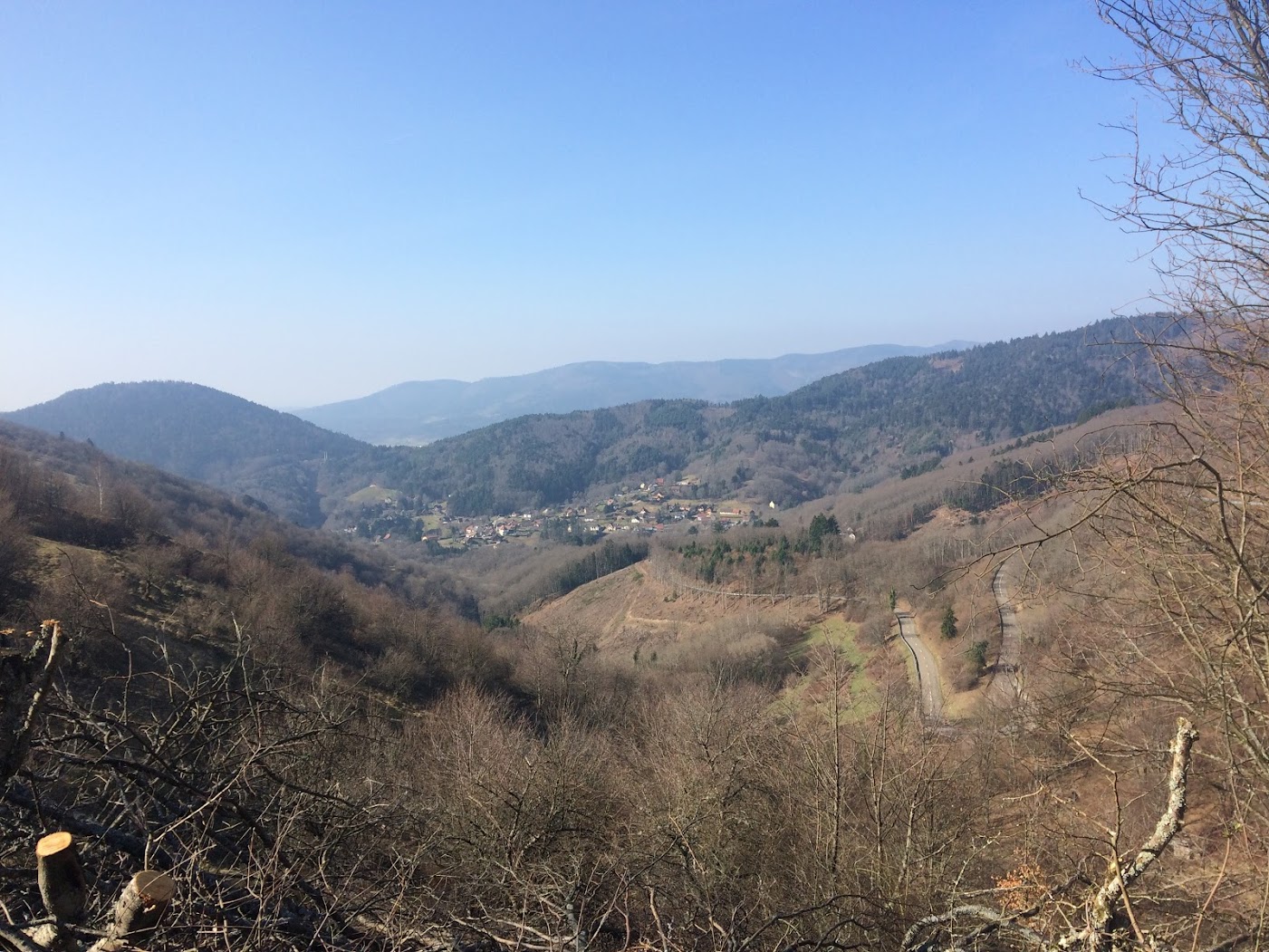
This hike starts very close to the chapel Maria auf dem Rain, in Roderen. The route makes a loop mainly in the forest and rises to offer beautiful views of the surroundings, up to the Alps in good weather.

Already more than 200,000 users!
Uphill
407m
Highest point
757m
Downhill
407m
Lowest point
372m
Route type
Loop
Download the map on your smartphone to save battery and rest assured to always keep access to the route, even without signal.
Includes IGN France and Swisstopo.
I indicate whether dogs are allowed or prohibited on this trail
All year
0 ratings
Also enjoy:

Already more than 200,000 users!