Uphill
182m
Length
5km
Duration
1h30min
Elev gain
182m
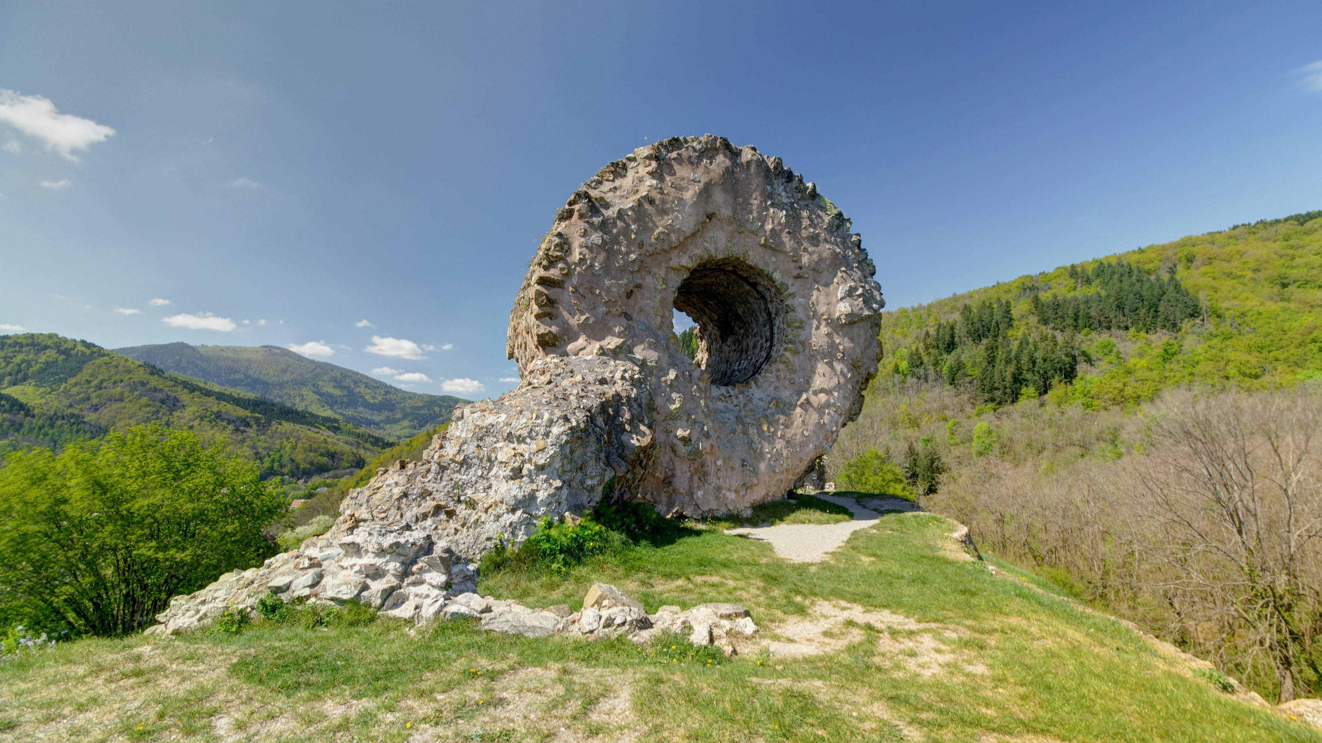
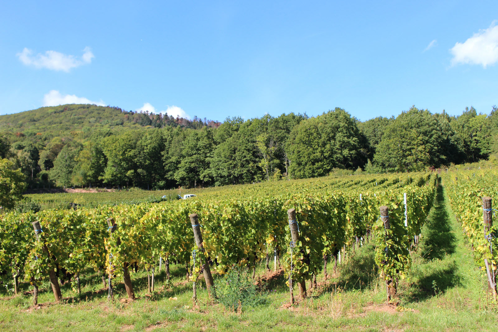
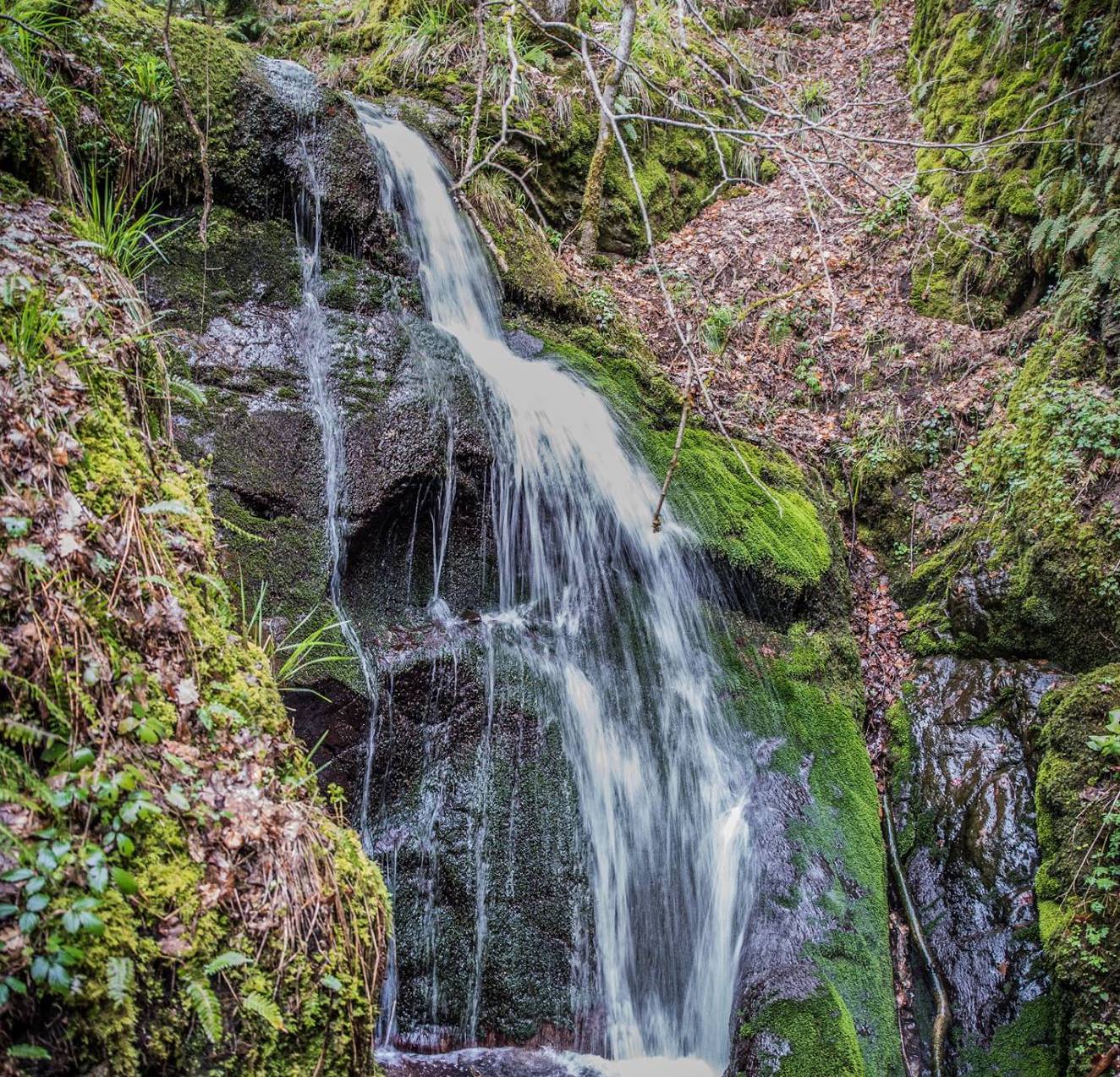
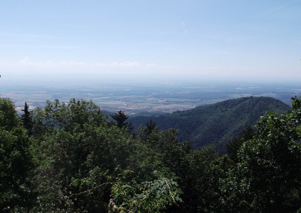
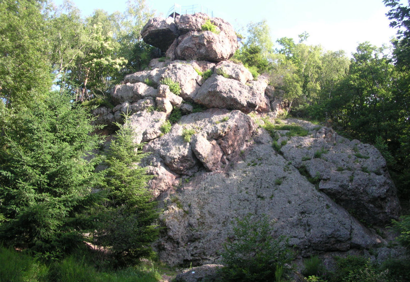
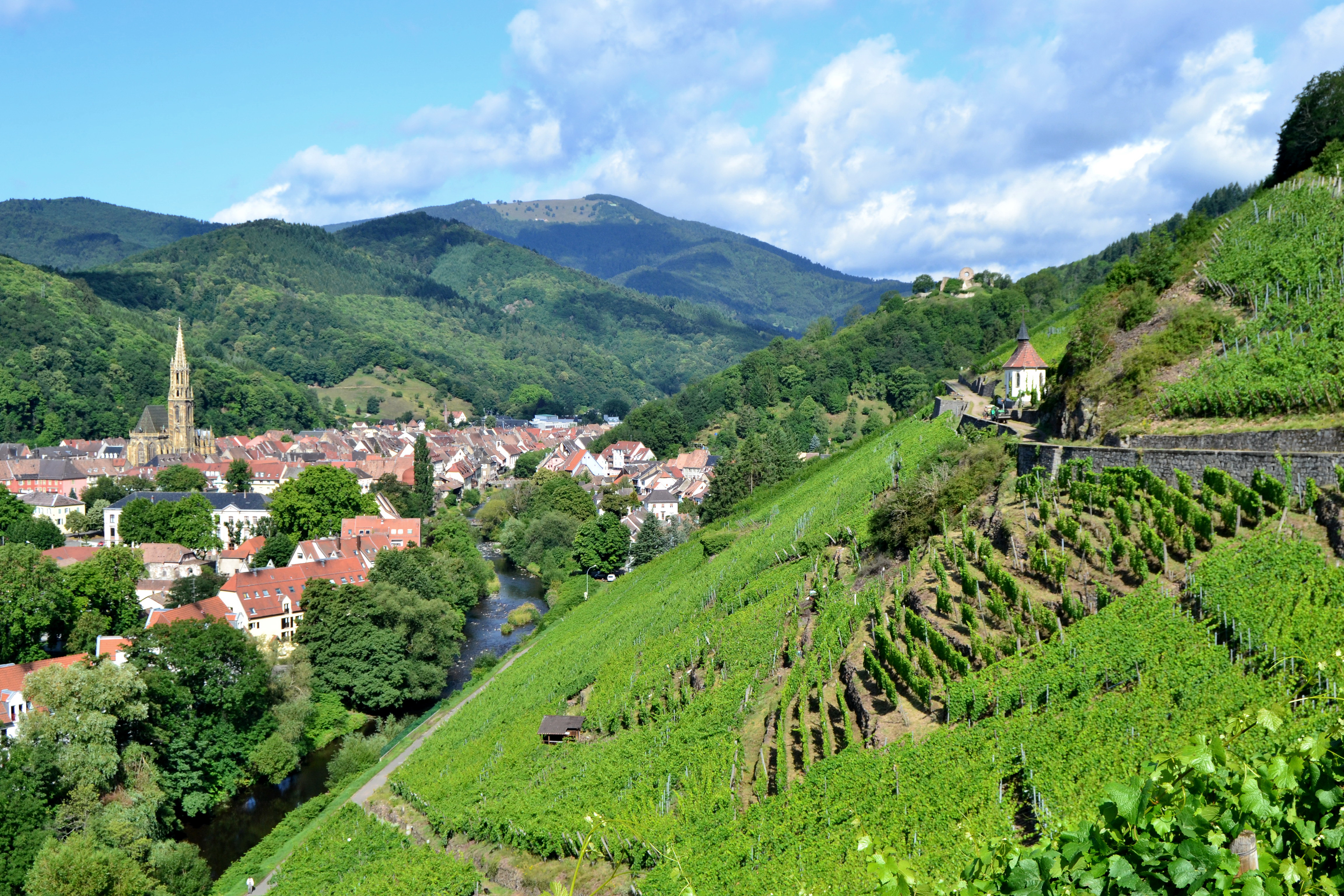
Departing from Vieux-Thann, this walk makes a loop through the Rangen vineyard. Between forest and vineyards, the route is varied and offers lovely views of the surroundings.

Already more than 200,000 users!
Uphill
182m
Highest point
477m
Downhill
182m
Lowest point
331m
Route type
Loop
Download the map on your smartphone to save battery and rest assured to always keep access to the route, even without signal.
Includes IGN France and Swisstopo.
I indicate whether dogs are allowed or prohibited on this trail
All year
1 rating
Also enjoy:

Already more than 200,000 users!