Uphill
137m
France > Grand Est > Haut-Rhin > Ballons des Vosges Regional Natural Park
Length
6km
Duration
2h
Elev gain
137m
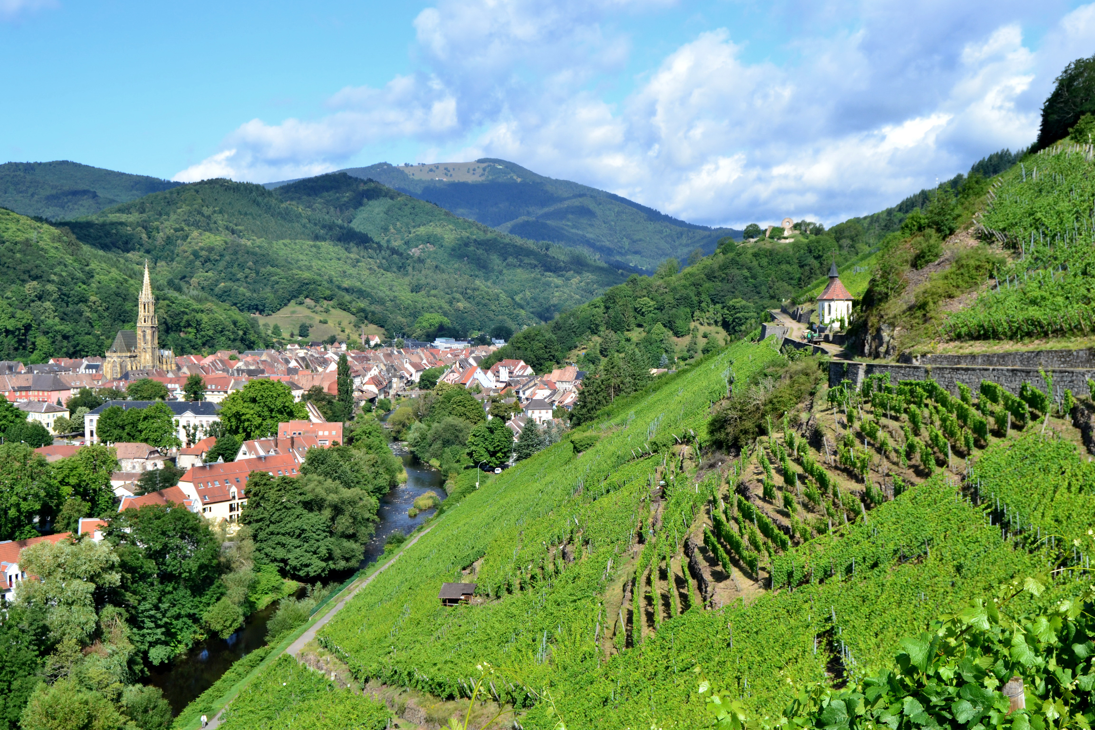
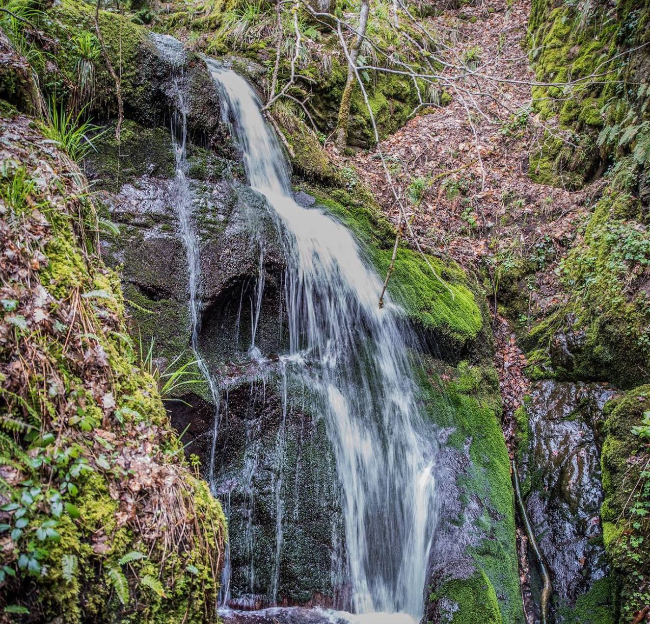
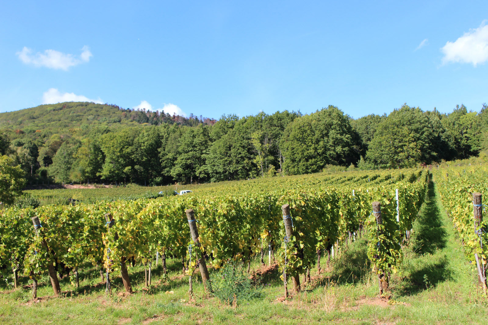
Leaving from Thann, this hike makes a nice loop through Roderen and Leimbach. The route is essentially forest and is done in a pleasant setting.

Already more than 200,000 users!
Uphill
137m
Highest point
482m
Downhill
137m
Lowest point
355m
Route type
Loop
Download the map on your smartphone to save battery and rest assured to always keep access to the route, even without signal.
Includes IGN France and Swisstopo.
I indicate whether dogs are allowed or prohibited on this trail
All year
0 ratings
Also enjoy:

Already more than 200,000 users!