Uphill
251m
France > Grand Est > Vosges > Ballons des Vosges Regional Natural Park
Length
7km
Duration
2h30min
Elev gain
251m
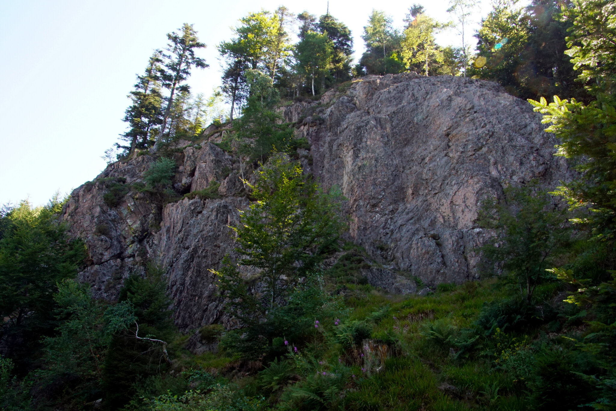
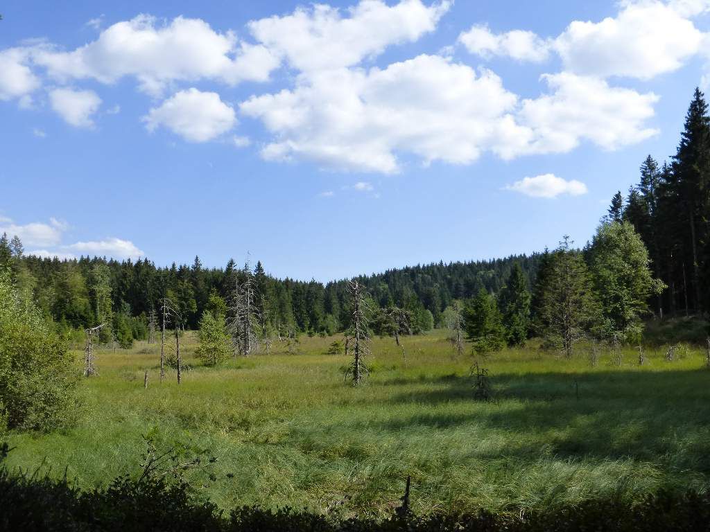
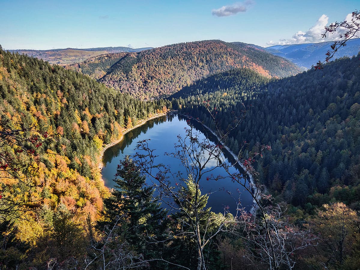
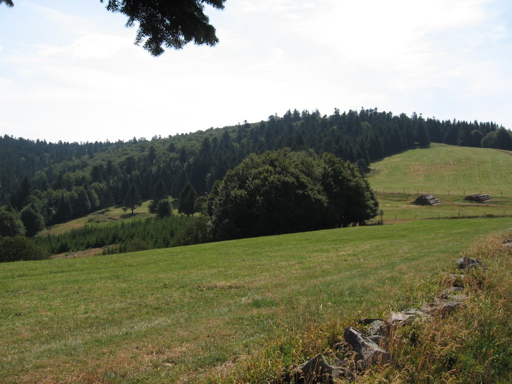
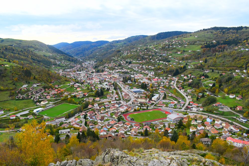
This hike starts at the Hôtel de l'Ermitage and takes place mainly in the forest, offering lovely views of the valley and the surrounding peaks.
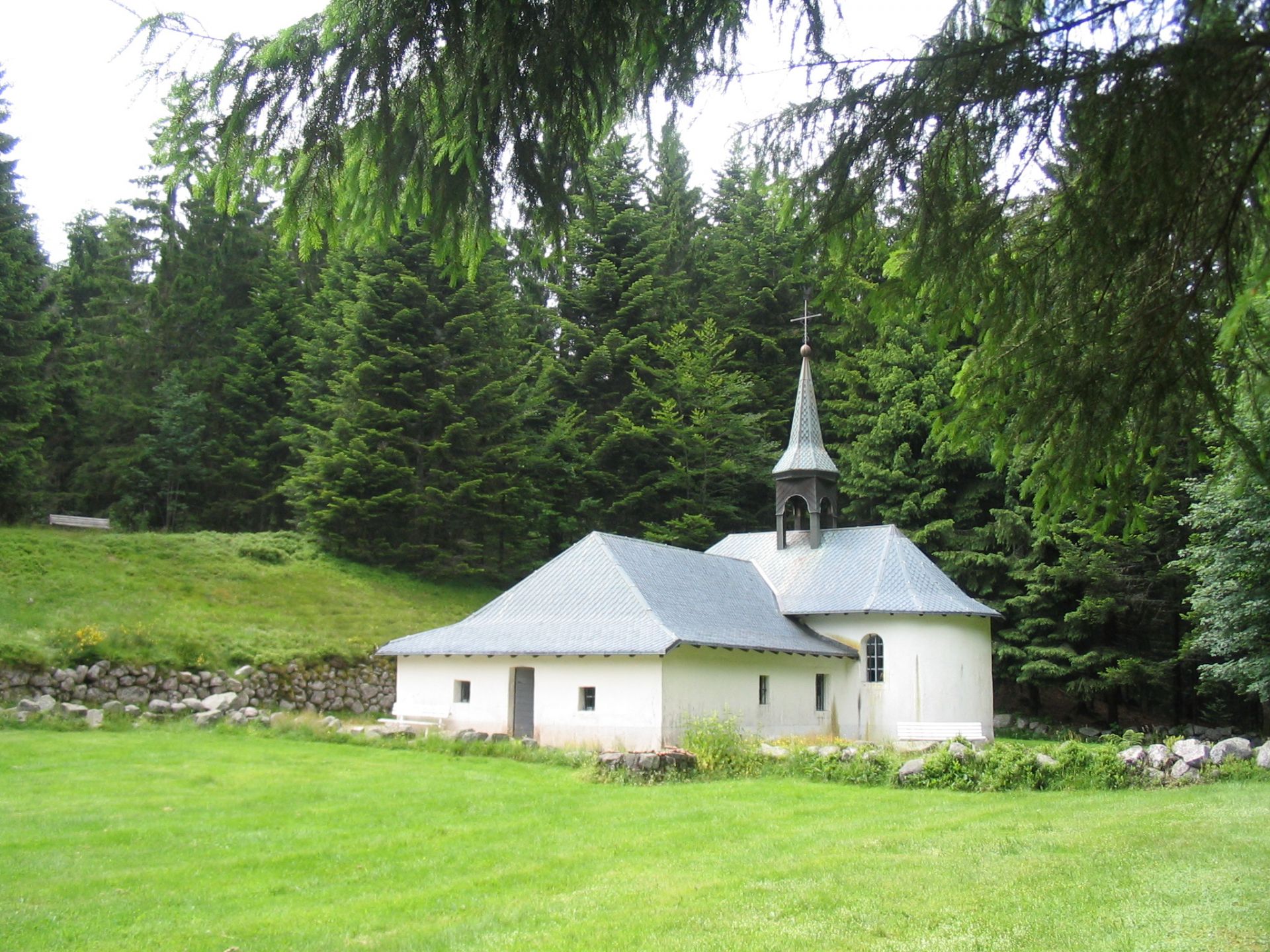
The path quickly takes the direction of the Chalet de Forgoutte, then continues on the Chemin du Haut-Riant to the hermitage of Brother Joseph, the last stop before the finish.

Already more than 200,000 users!
Uphill
251m
Highest point
1071m
Downhill
251m
Lowest point
855m
Route type
Loop
Download the map on your smartphone to save battery and rest assured to always keep access to the route, even without signal.
Includes IGN France and Swisstopo.
I indicate whether dogs are allowed or prohibited on this trail
Can be difficult in Winter
1 rating
Geniale la boucle avec belvédère et points de vues sur le massif !
Also enjoy:

Already more than 200,000 users!