Uphill
239m
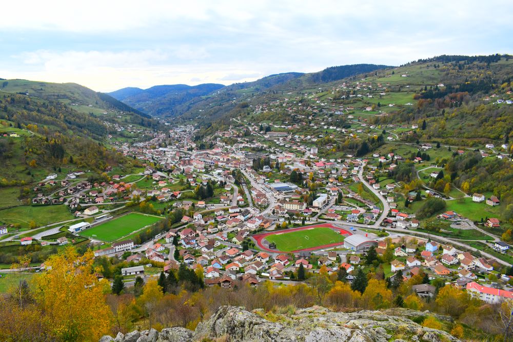
France > Grand Est > Vosges > Ballons des Vosges Regional Natural Park
Length
3km
Duration
1h30min
Elev gain
239m
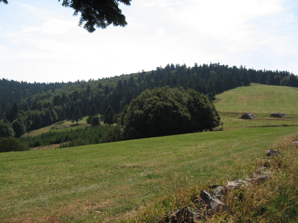
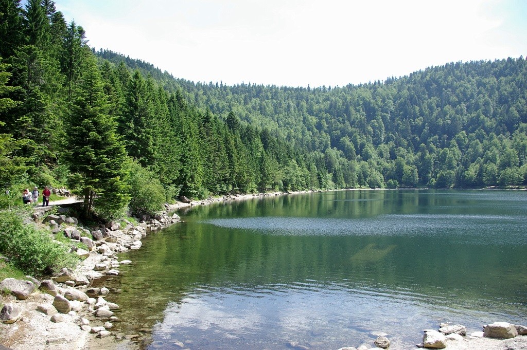
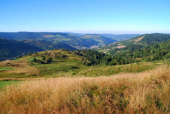
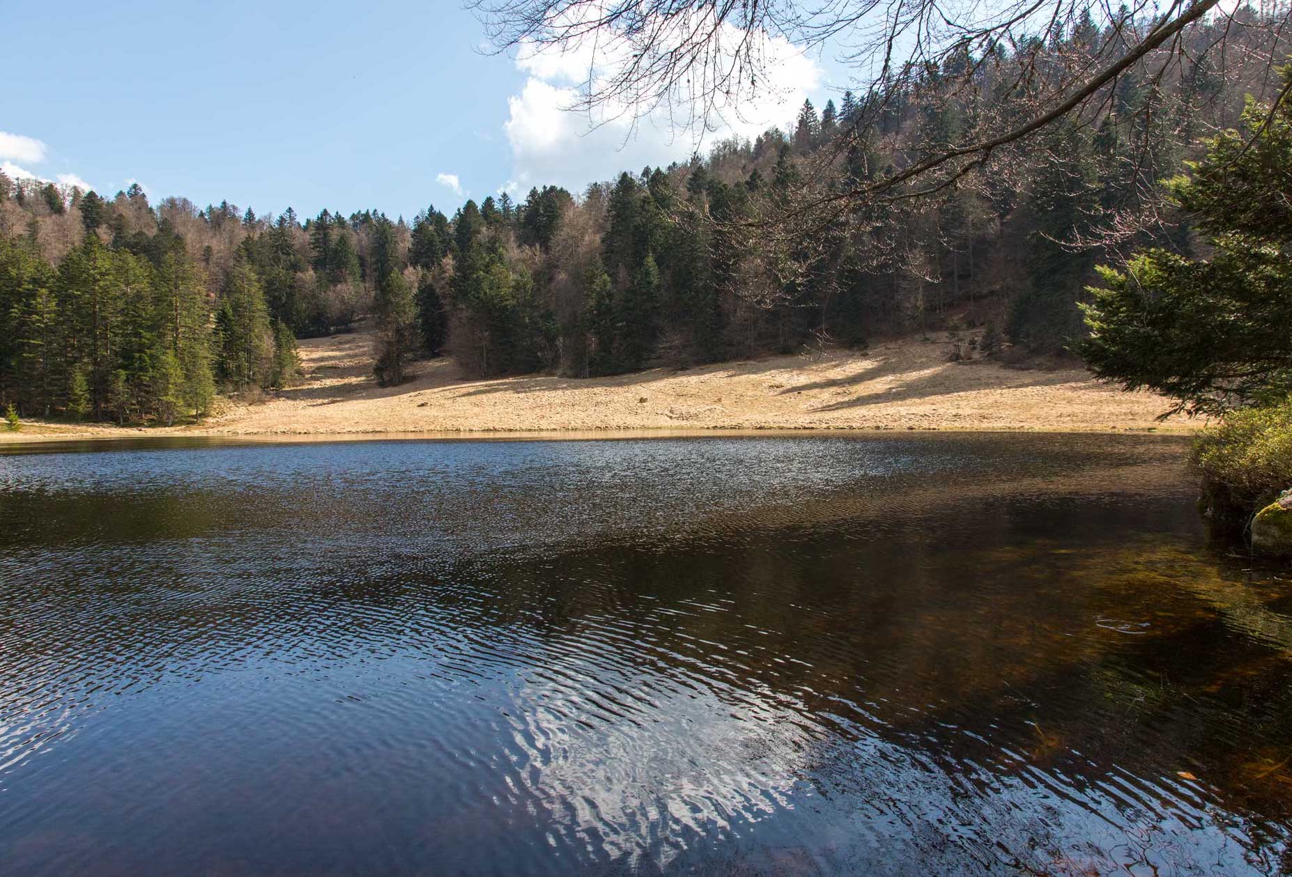
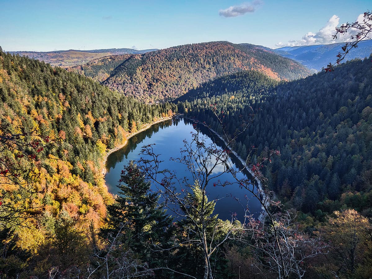
Here is a great hike around Lac des Corbeaux. This route begins by climbing steeply to the Collet Mansuy, at an altitude of 1,055 metres. It then continues to the rock of the lake, where the view of the lake is breathtaking.
The path finally joins the starting point by a path where some passages are rocky and steep.

Already more than 200,000 users!
Uphill
239m
Highest point
1122m
Downhill
239m
Lowest point
887m
Route type
Loop
Download the map on your smartphone to save battery and rest assured to always keep access to the route, even without signal.
Includes IGN France and Swisstopo.
I indicate whether dogs are allowed or prohibited on this trail
Can be difficult in Winter
1 rating
It is a nice difficult trail with a nice view spot half way. However you don't see much the lake throughout the trail, there is a normal path (not hike to do that). Towards the end it shows a path that is just crossing the forest, you can continue through the two normal paths there are.
Also enjoy:

Already more than 200,000 users!