Uphill
329m
France > Bourgogne-Franche-Comté > Haute-Saône > Ballons des Vosges Regional Natural Park
Length
10km
Duration
3h30min
Elev gain
329m
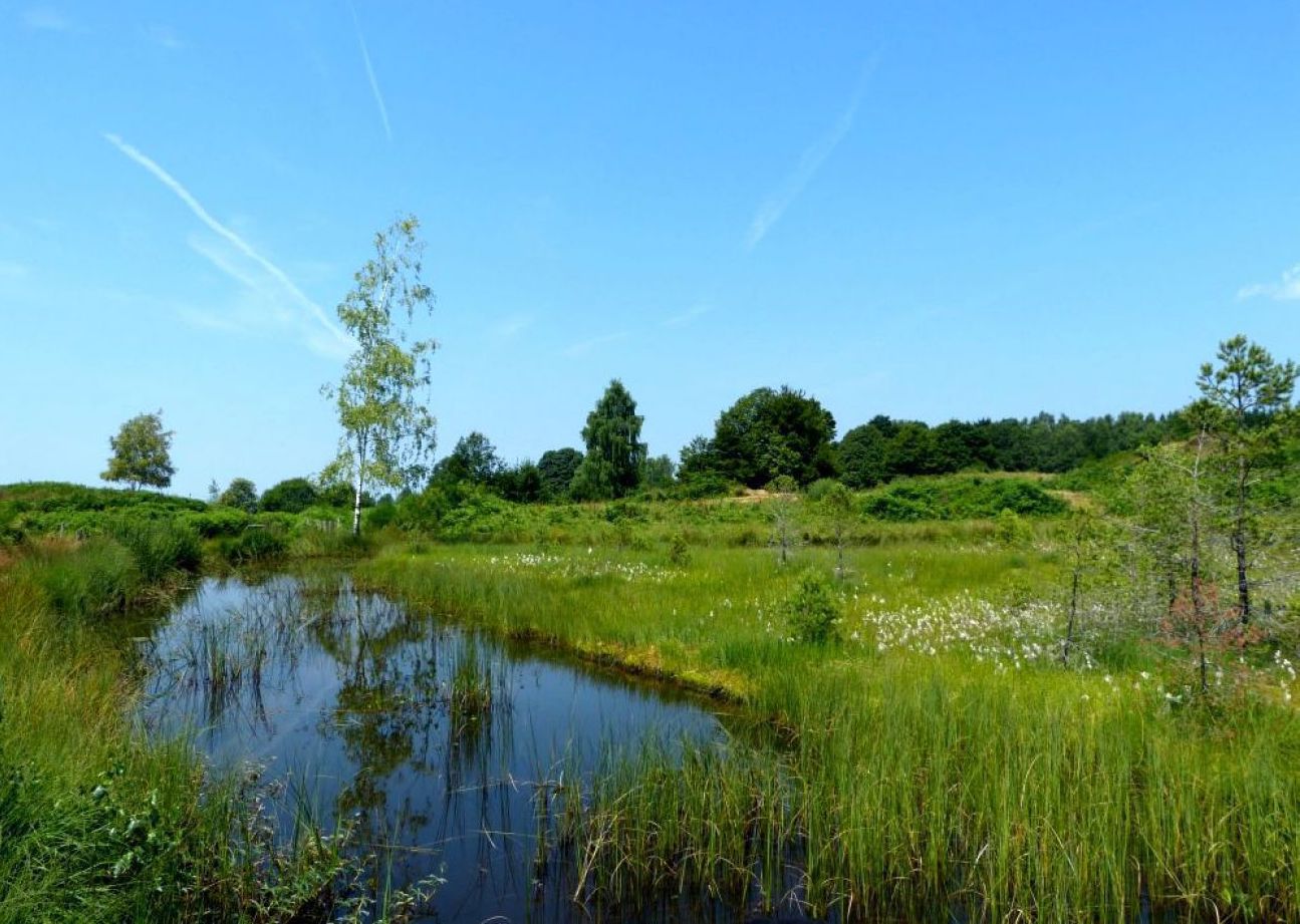
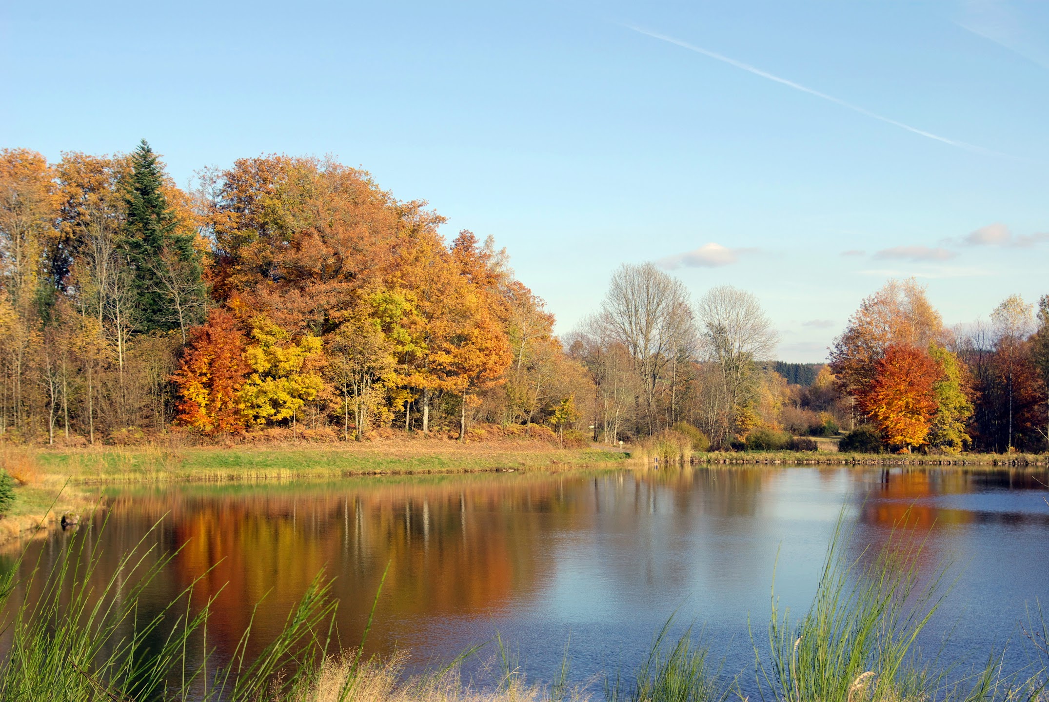
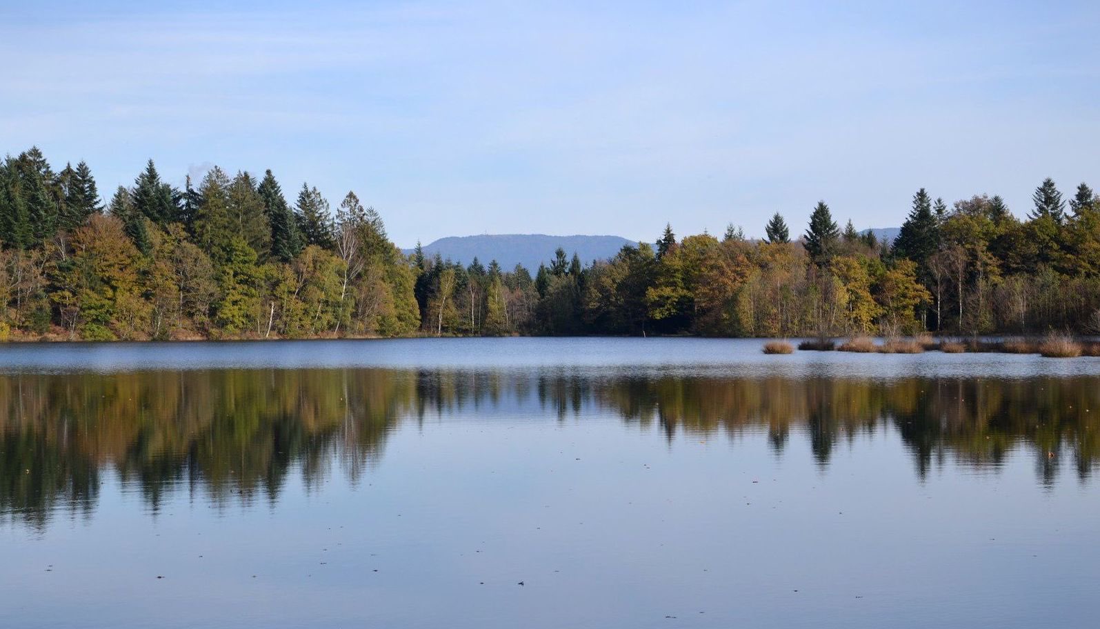
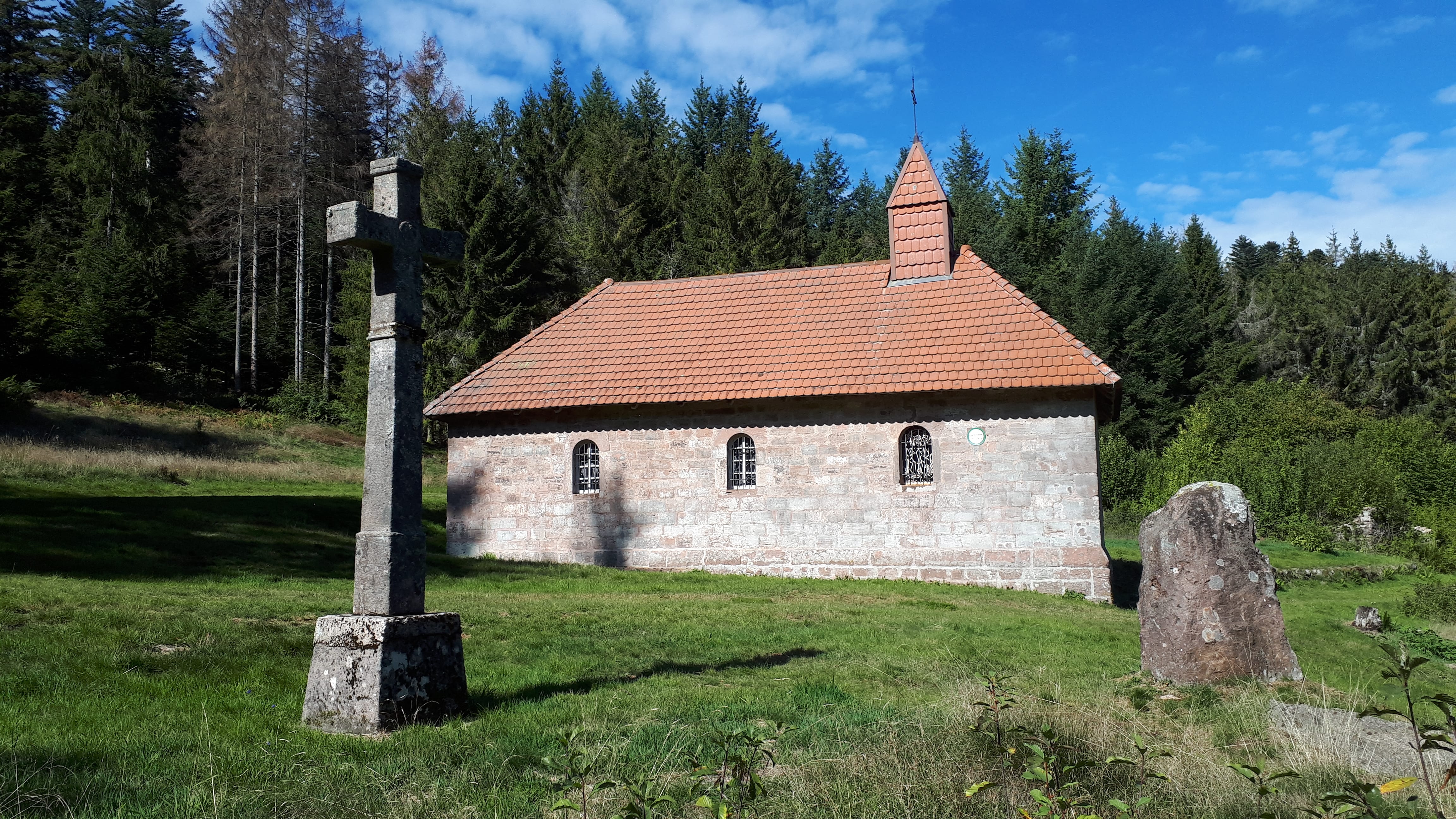
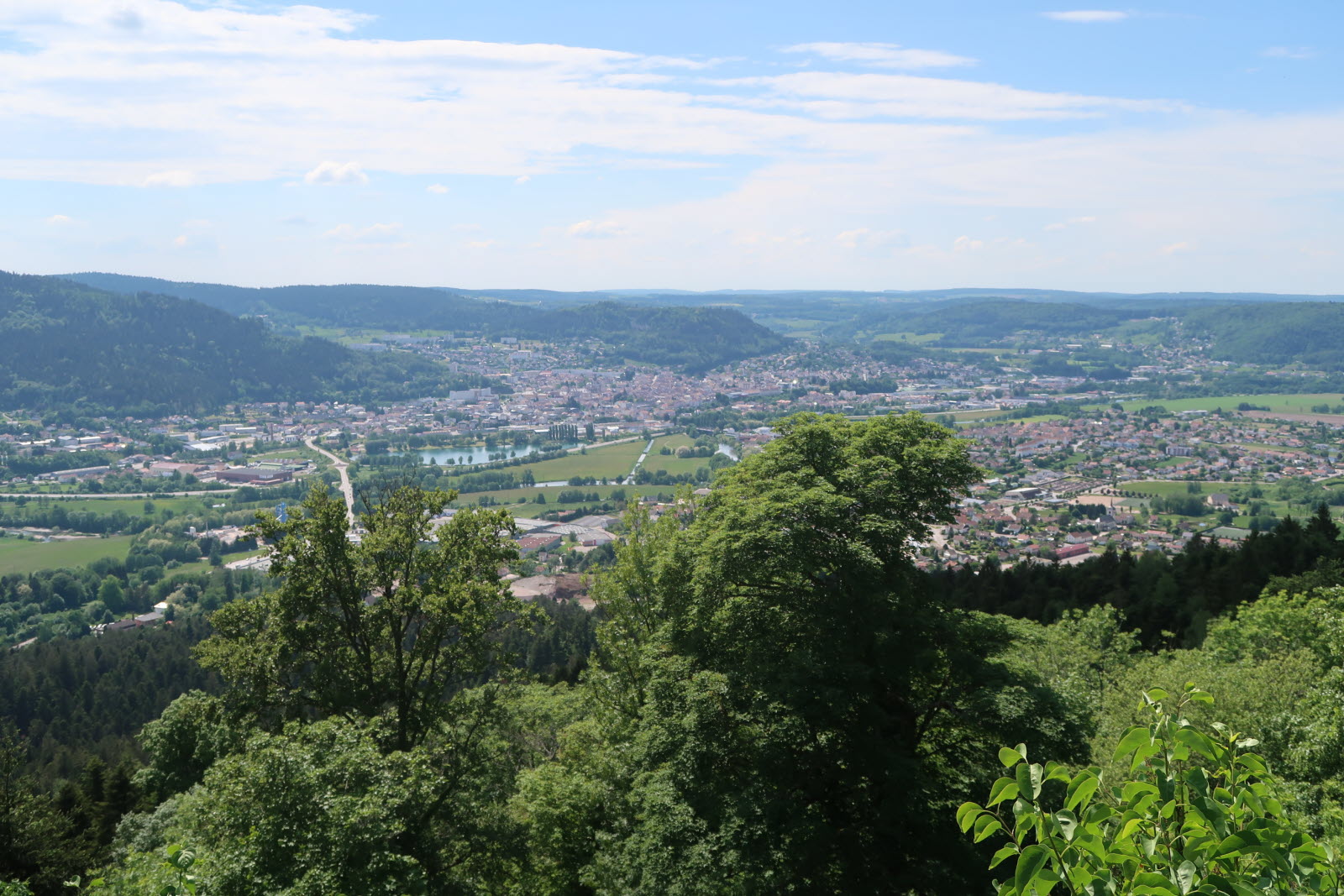
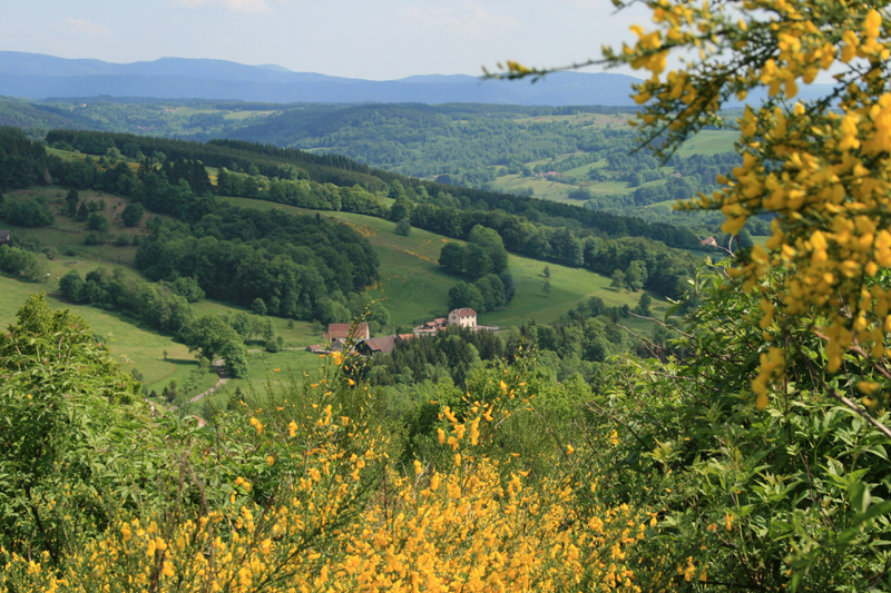
Departing from La Rosière, this hike takes place on the heights of the Moselle valley. The route crosses varied landscapes and offers beautiful views of the surroundings.

Already more than 200,000 users!
Uphill
329m
Highest point
821m
Downhill
329m
Lowest point
579m
Route type
Loop
Download the map on your smartphone to save battery and rest assured to always keep access to the route, even without signal.
Includes IGN France and Swisstopo.
I indicate whether dogs are allowed or prohibited on this trail
All year
0 ratings
Also enjoy:

Already more than 200,000 users!