Uphill
580m
Length
12km
Duration
4h30min
Elev gain
580m
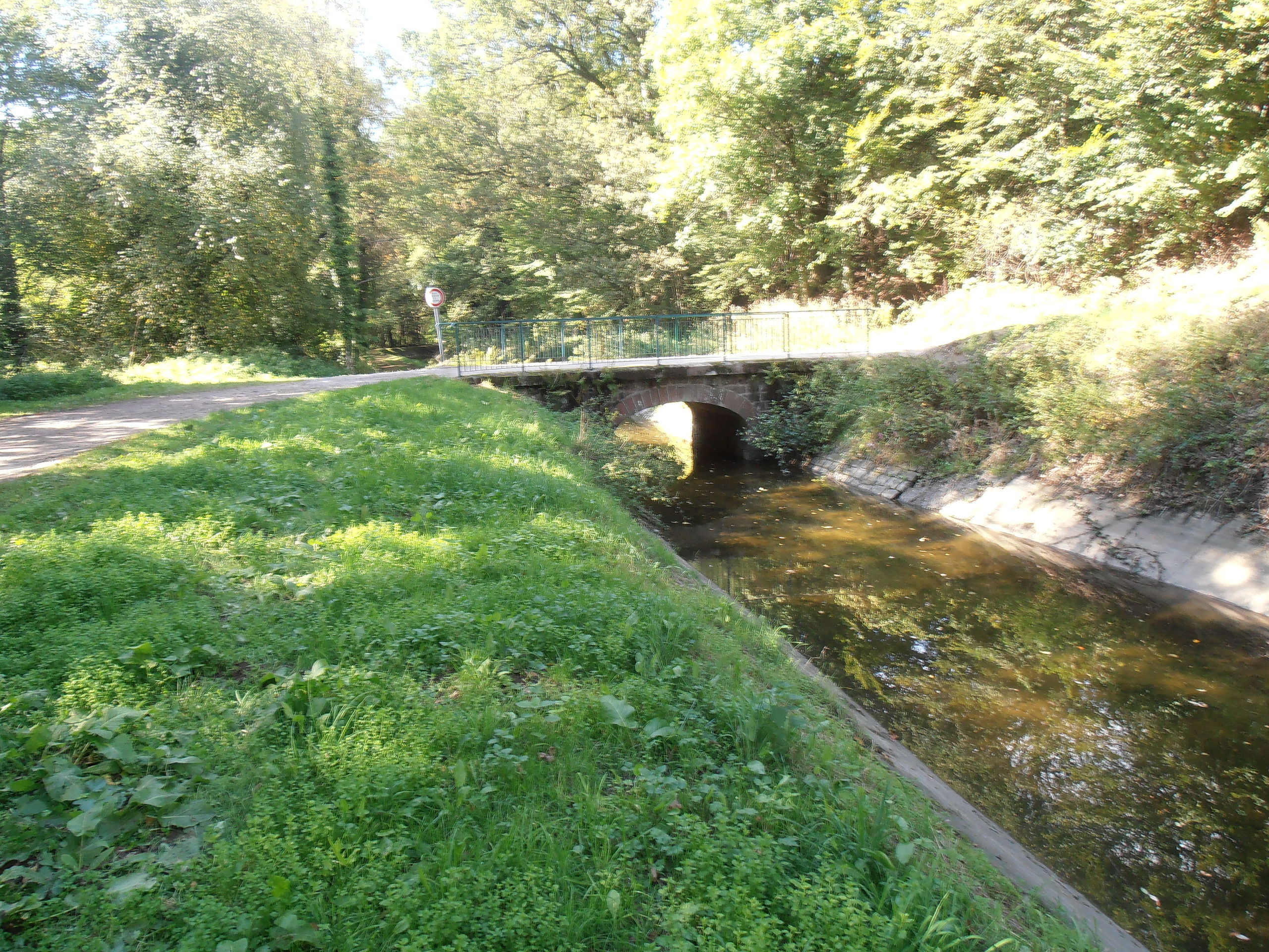
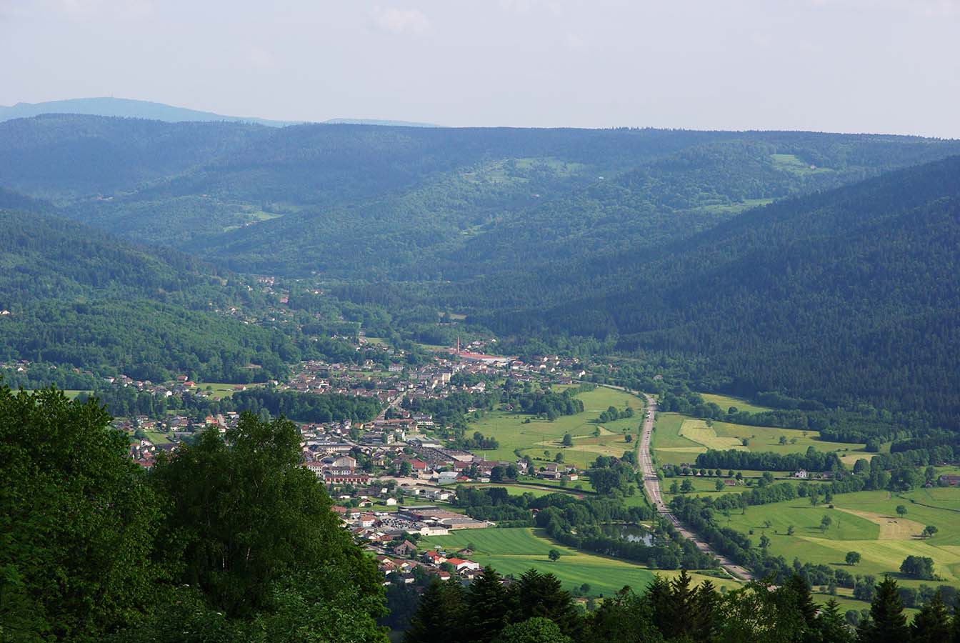
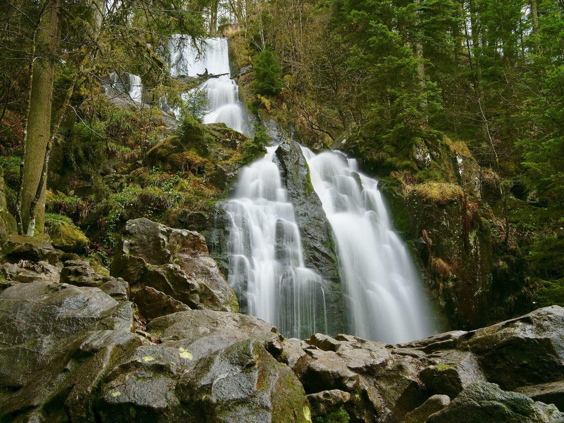
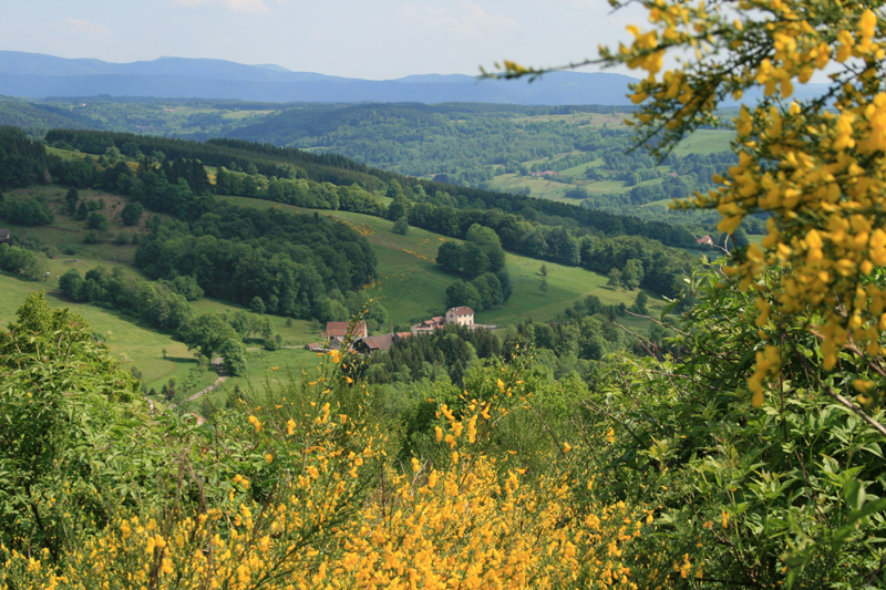
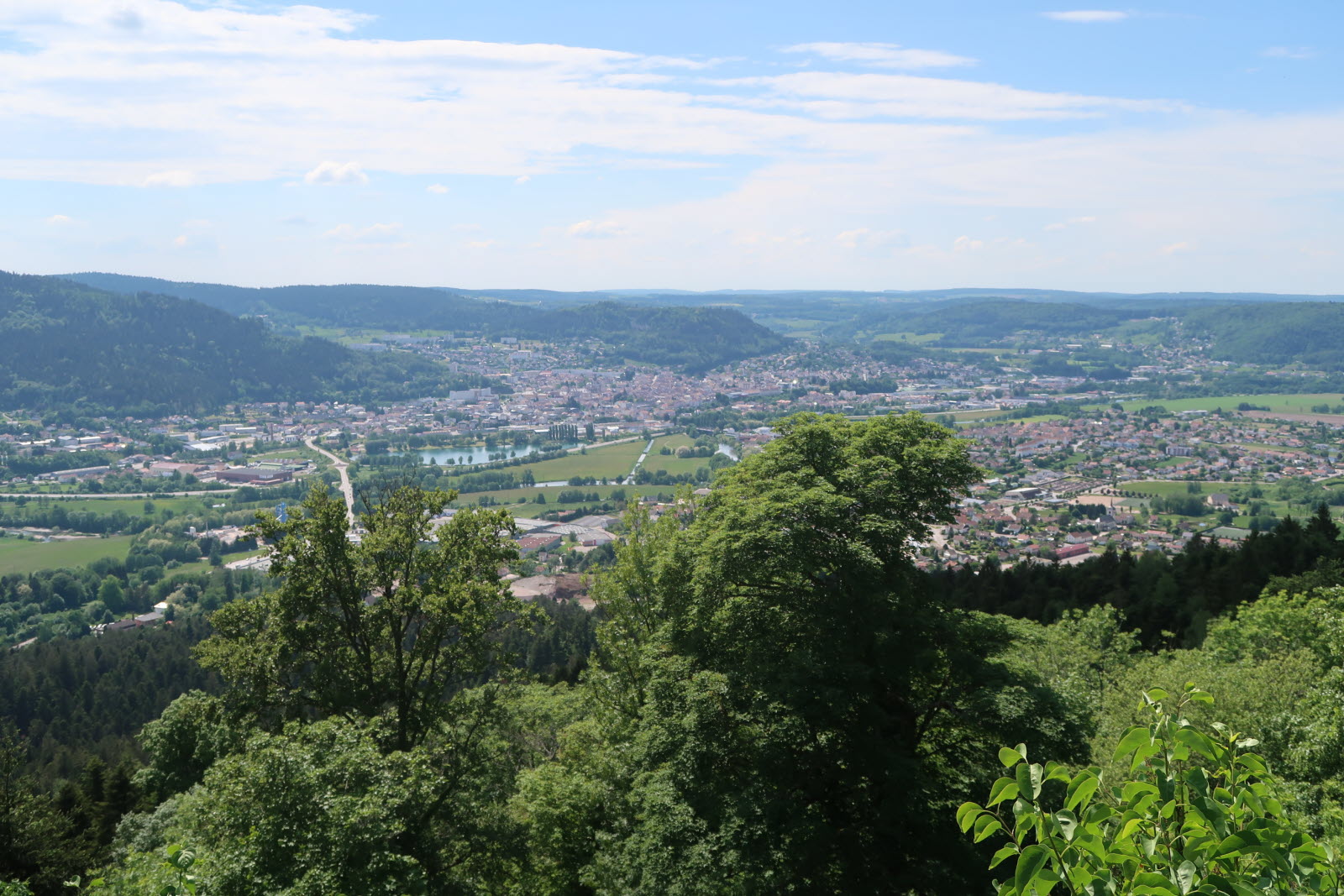
Varied hike in the Fossard forest, allowing you to discover the Miraumont waterfall and climb the Saint-Mont (672 m). Nice panorama over the city of Remiremont.
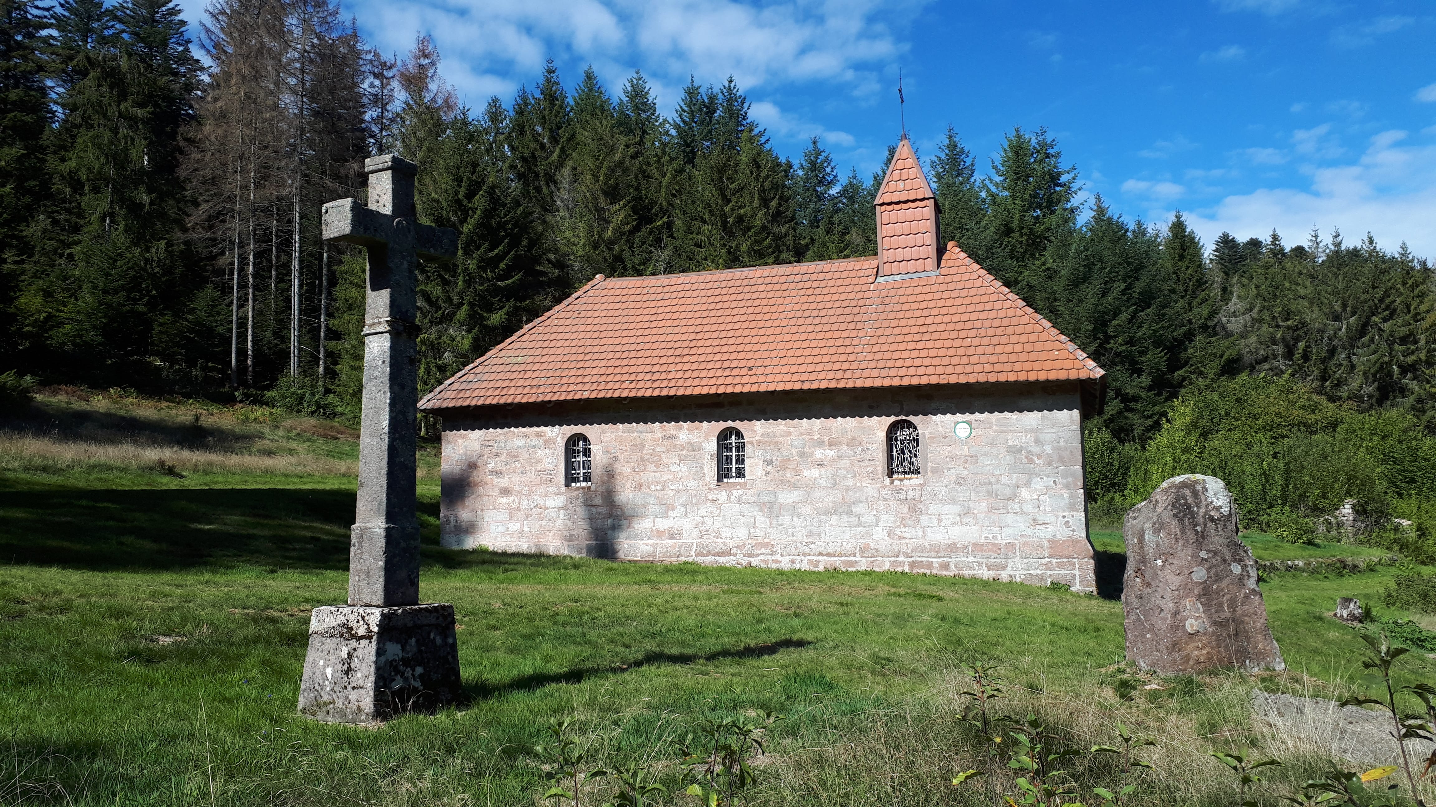
Also note the presence of several chapels: Sainte-Claire, Sainte-Sabine, Saint-Mont, Sainte-Claire, Vieux Saint-Amé.

Already more than 200,000 users!
Uphill
580m
Highest point
789m
Downhill
580m
Lowest point
387m
Route type
Loop
Download the map on your smartphone to save battery and rest assured to always keep access to the route, even without signal.
Includes IGN France and Swisstopo.
I indicate whether dogs are allowed or prohibited on this trail
All year
0 ratings
Also enjoy:

Already more than 200,000 users!