Uphill
562m
Length
11km
Duration
4h30min
Elev gain
562m
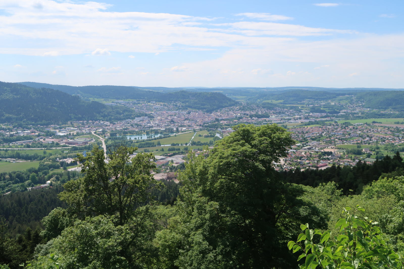
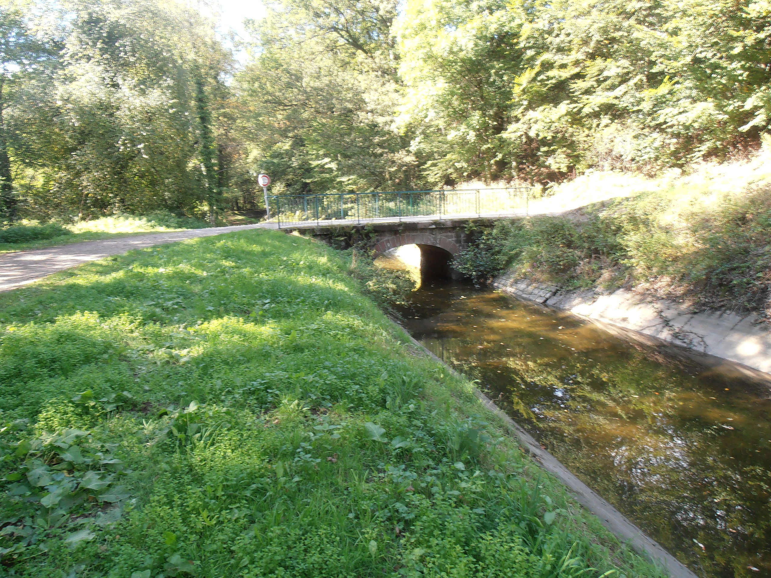
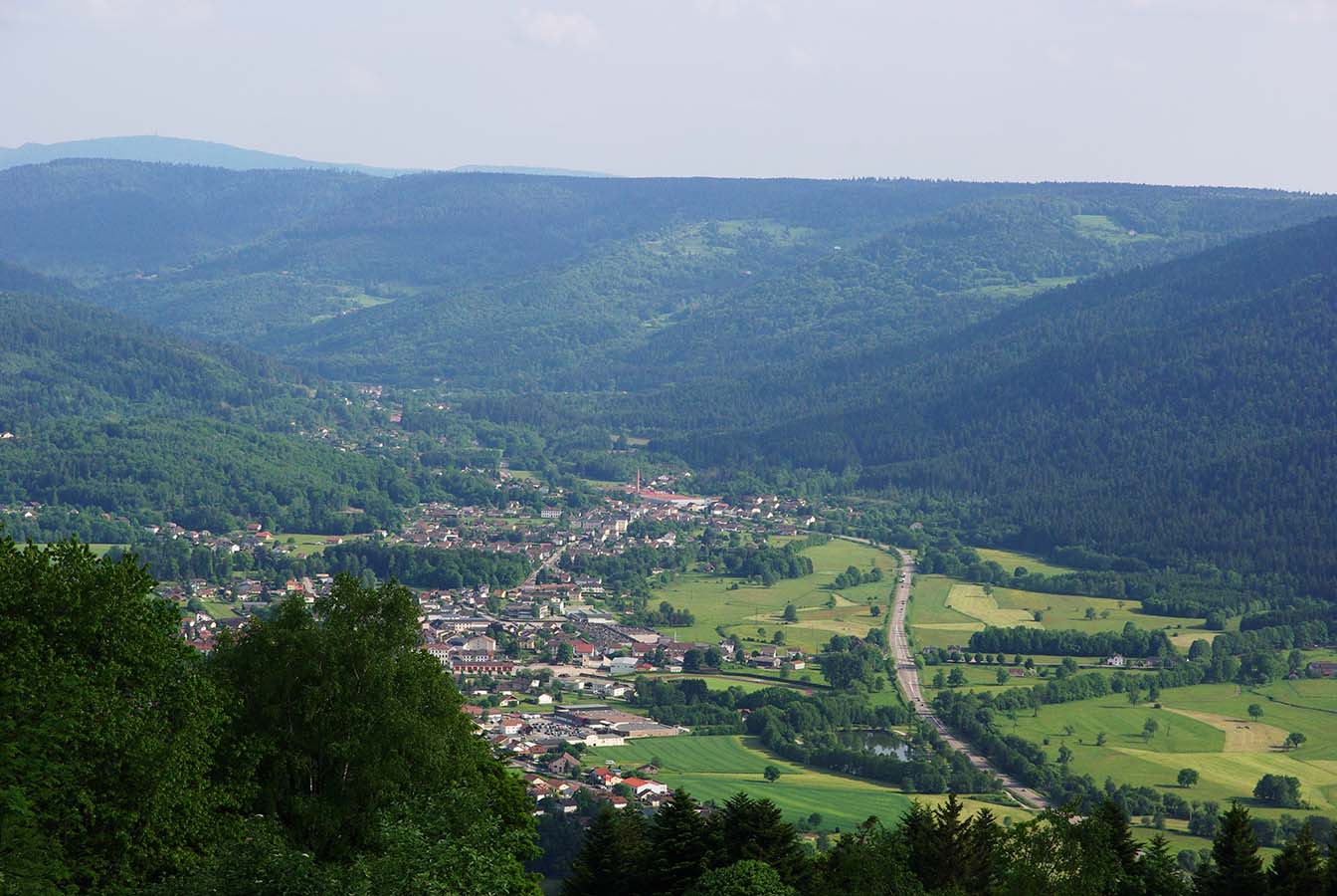
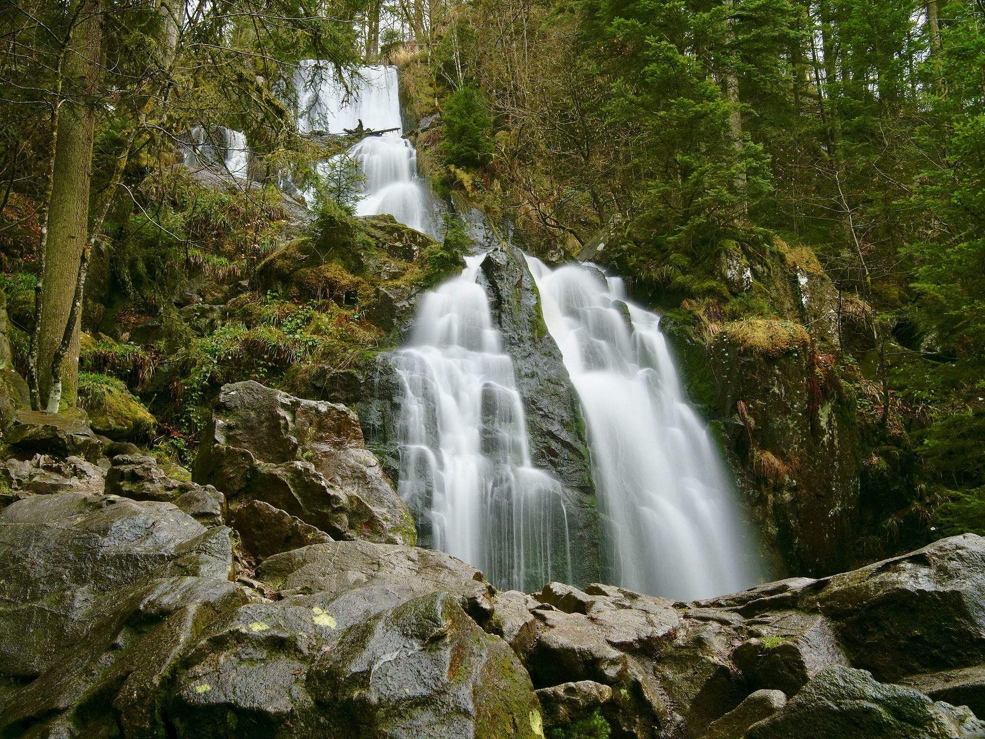
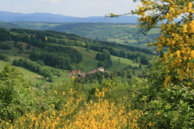
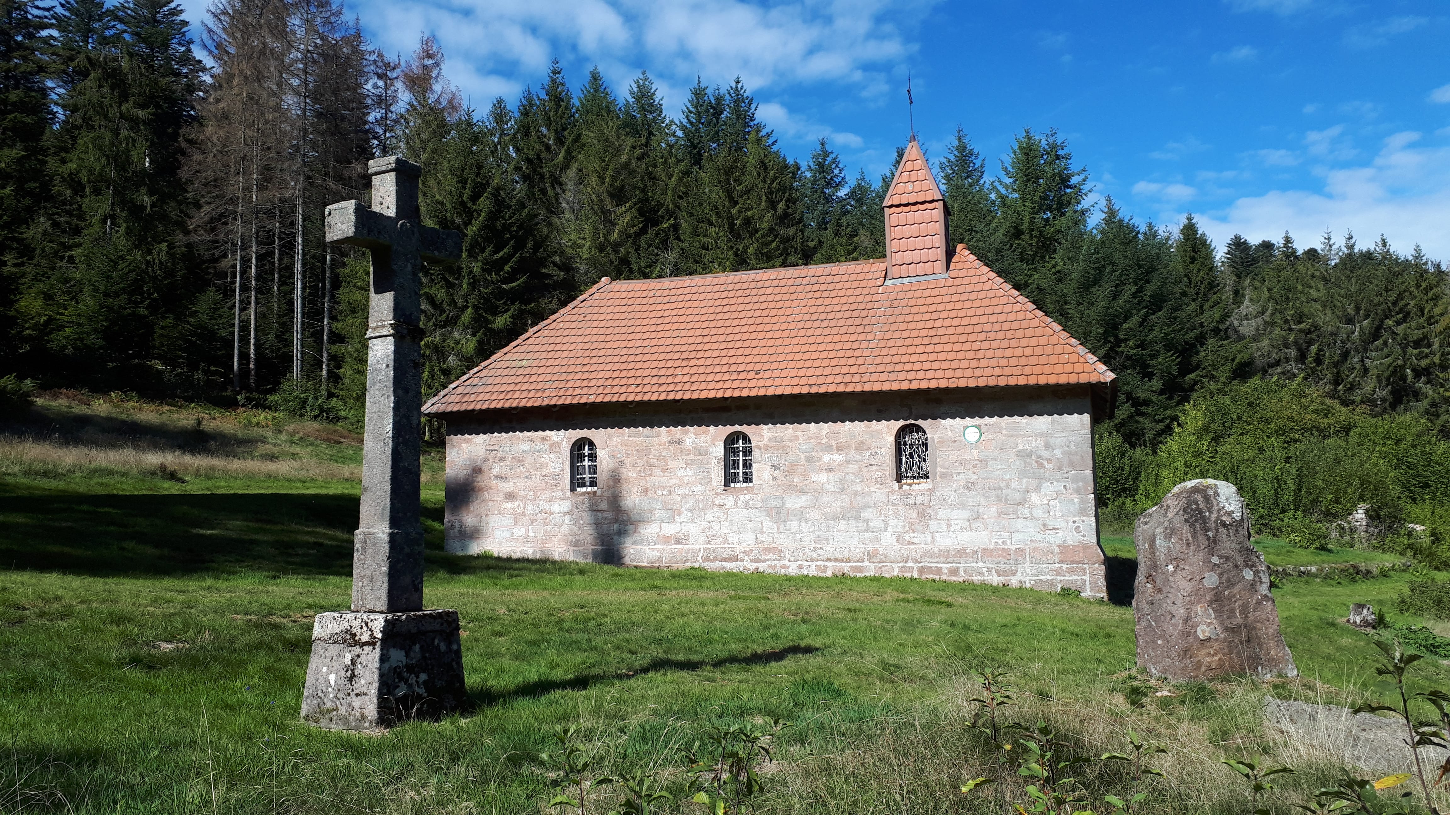
Leaving from Saint-Étienne-lès-Remiremont, this path passes by the Saint-Mont then the Pont des Fées before reaching the Sainte-Sabine chapel halfway through. On the way back, short stop at the Miraumont waterfall before returning to the starting point.

Already more than 200,000 users!
Uphill
562m
Highest point
789m
Downhill
562m
Lowest point
391m
Route type
Loop
Download the map on your smartphone to save battery and rest assured to always keep access to the route, even without signal.
Includes IGN France and Swisstopo.
I indicate whether dogs are allowed or prohibited on this trail
All year
0 ratings
Also enjoy:

Already more than 200,000 users!