Uphill
103m
Length
4km
Duration
1h30min
Elev gain
103m
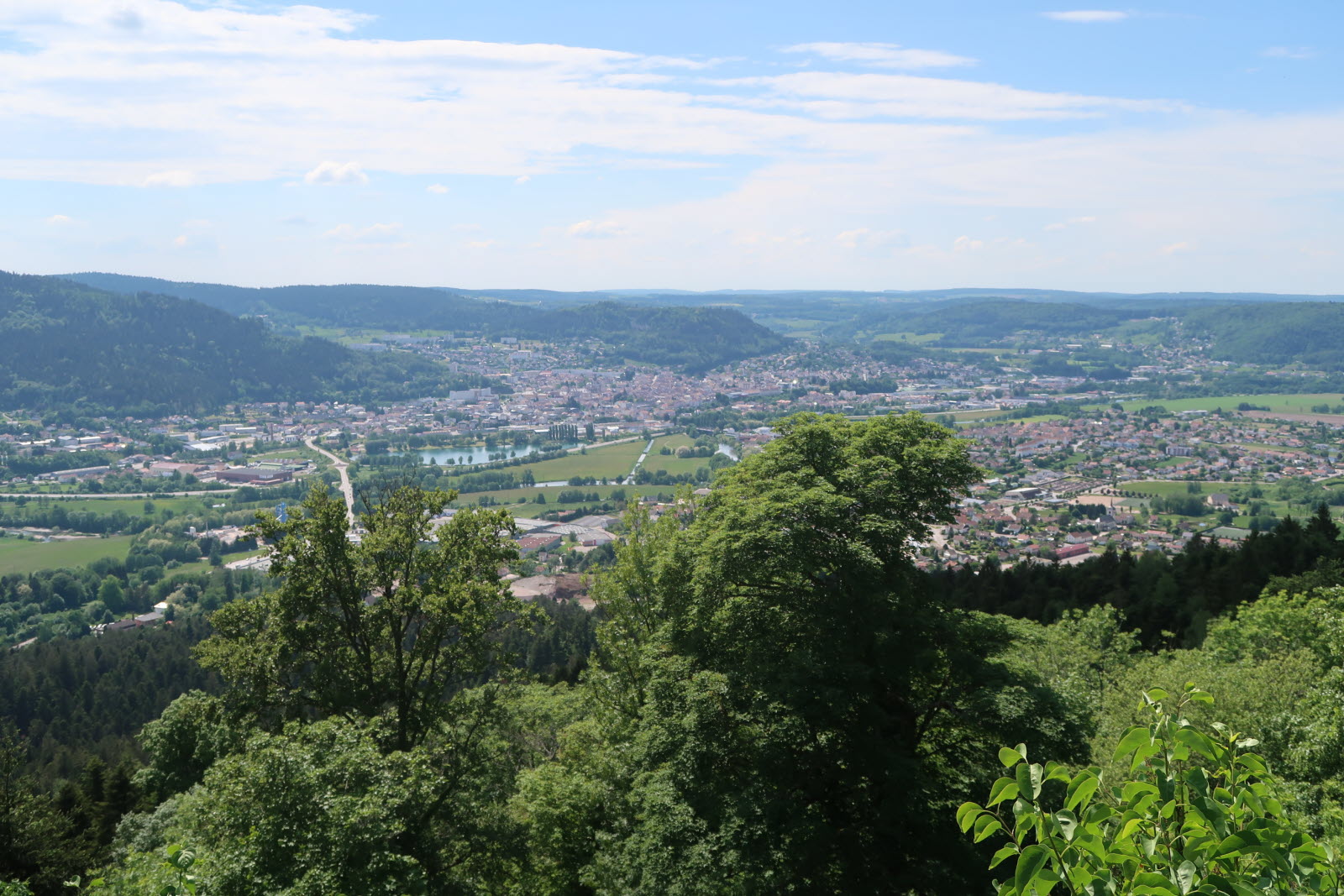
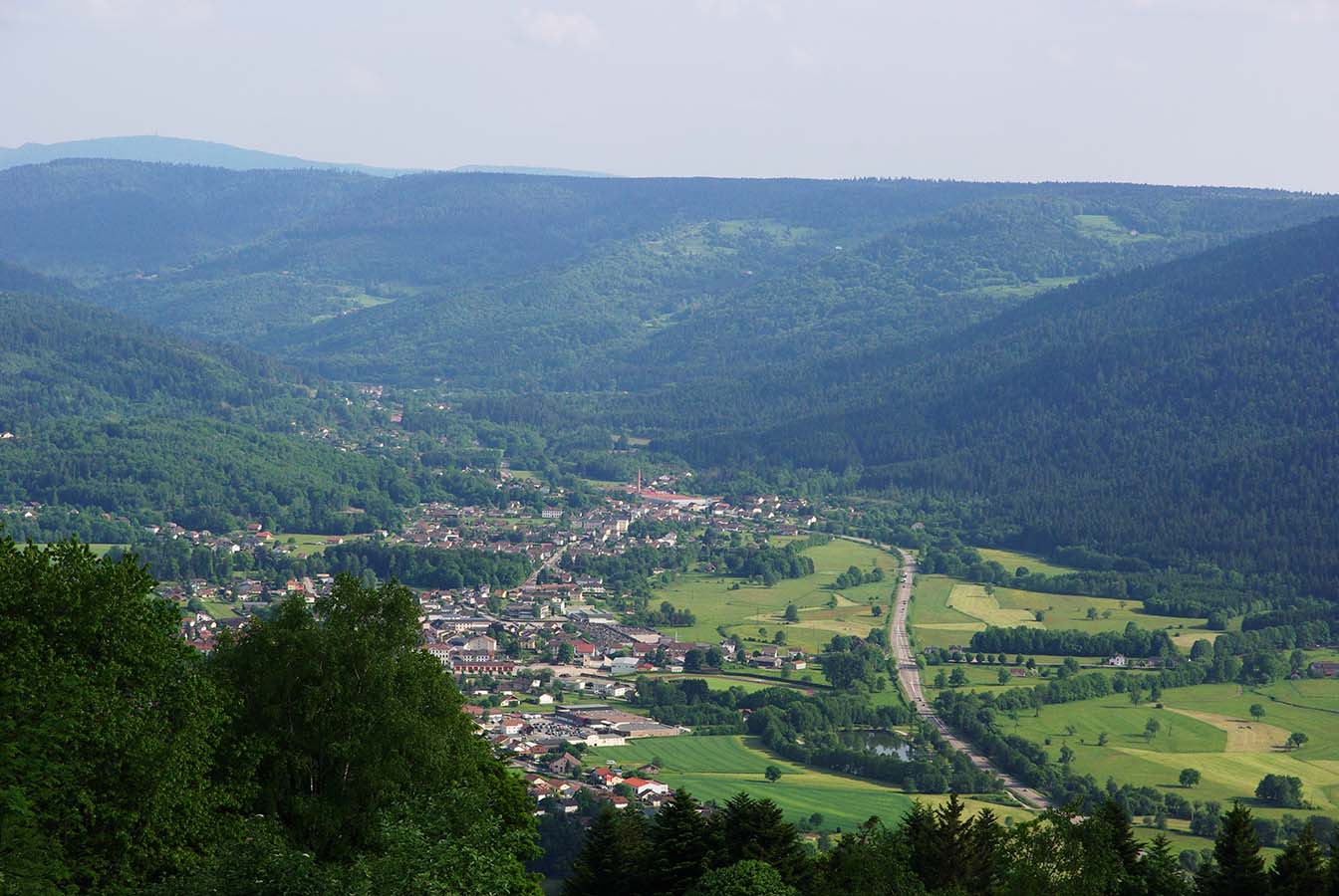
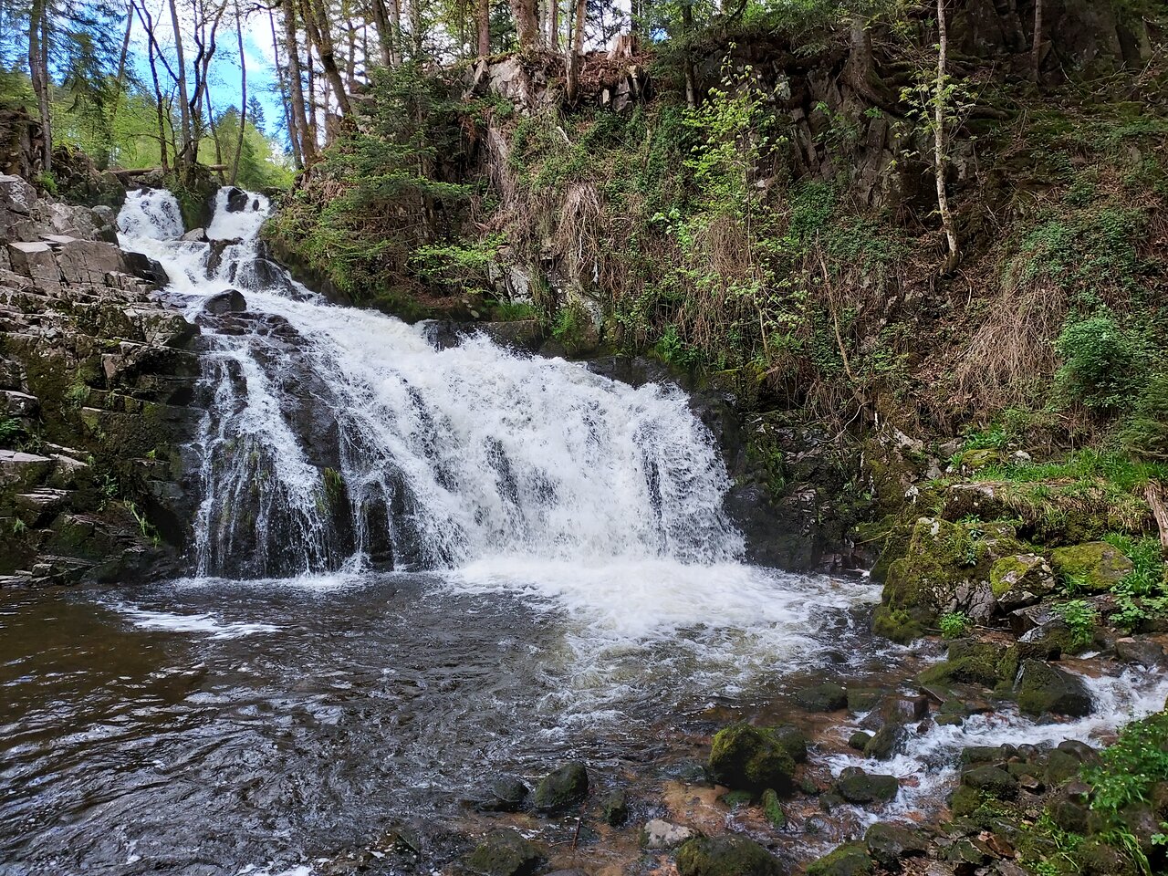
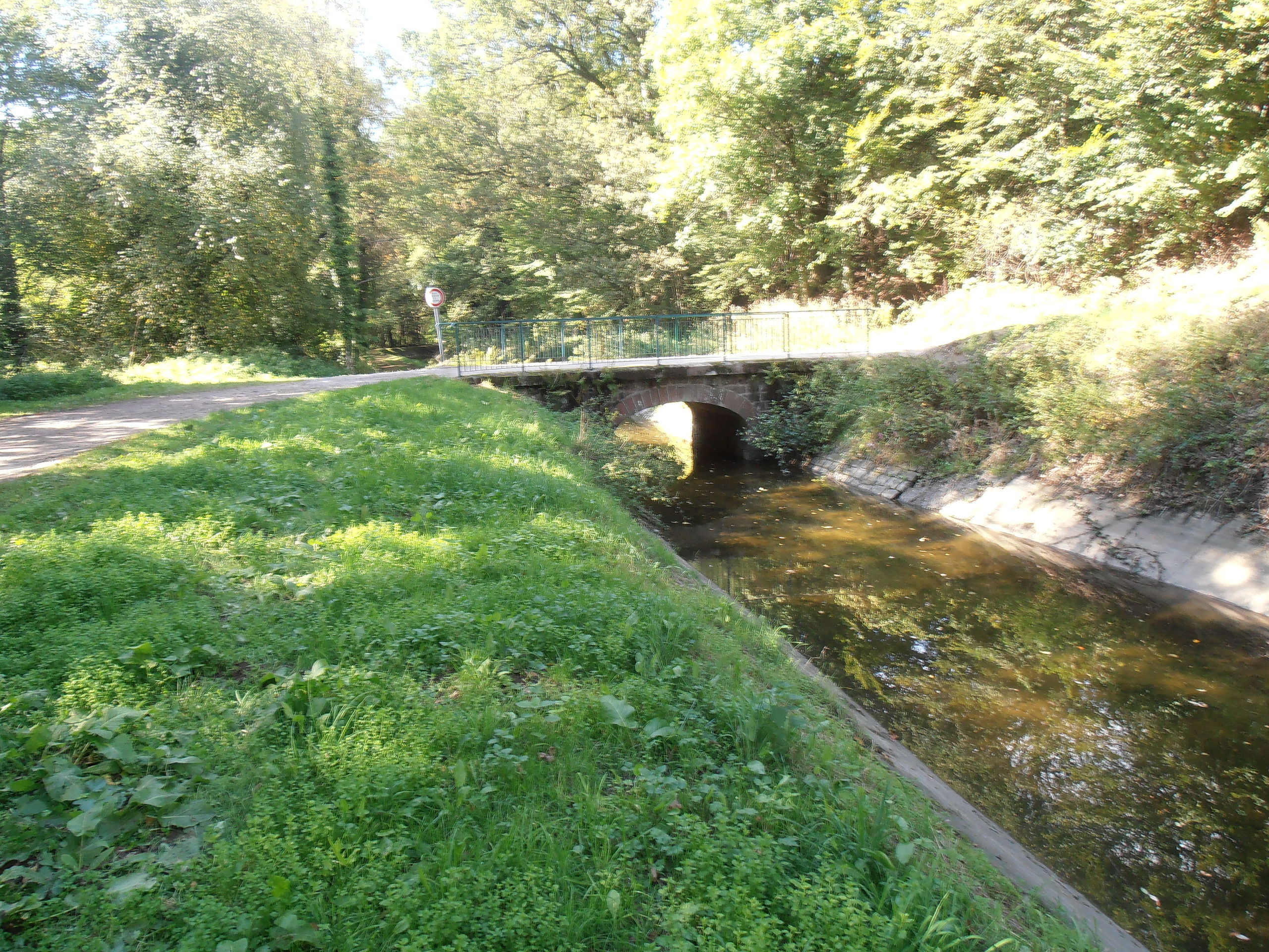
Short route in the forest near Saint-Nabord. The path runs along the supply channel of the Bouzey reservoir then passes by a stele in memory of American soldiers, before returning to the starting point through the forest. A hike that takes place in a pleasant setting.

Already more than 200,000 users!
Uphill
103m
Highest point
432m
Downhill
103m
Lowest point
372m
Route type
Loop
Download the map on your smartphone to save battery and rest assured to always keep access to the route, even without signal.
Includes IGN France and Swisstopo.
I indicate whether dogs are allowed or prohibited on this trail
All year
1 rating
Also enjoy:

Already more than 200,000 users!