Uphill
267m
France > Bourgogne-Franche-Comté > Haute-Saône > Ballons des Vosges Regional Natural Park
Length
8km
Duration
2h30min
Elev gain
267m
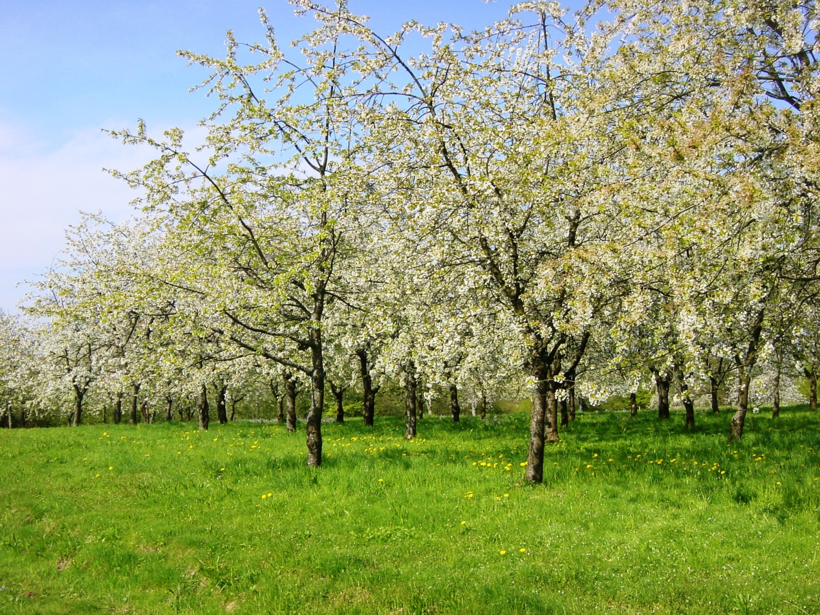
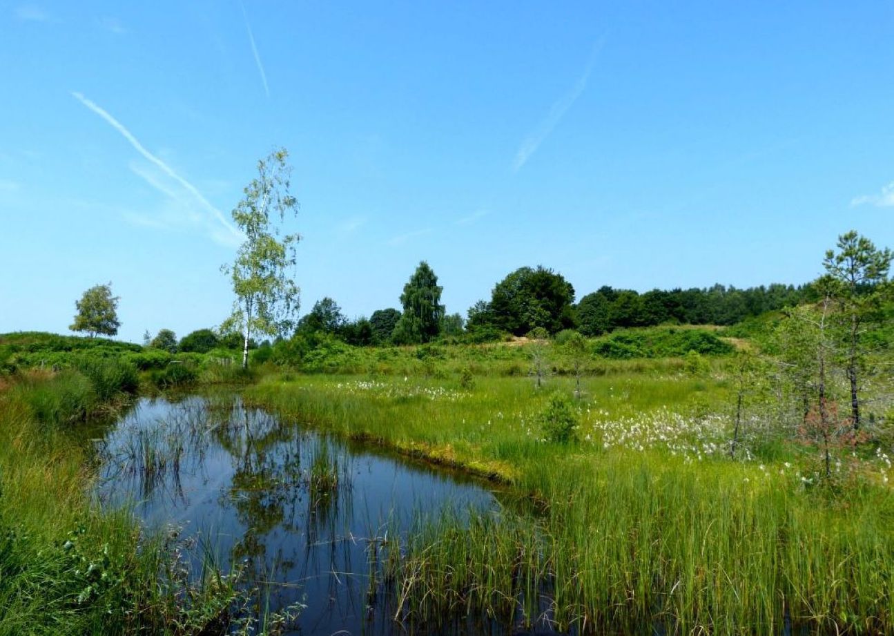
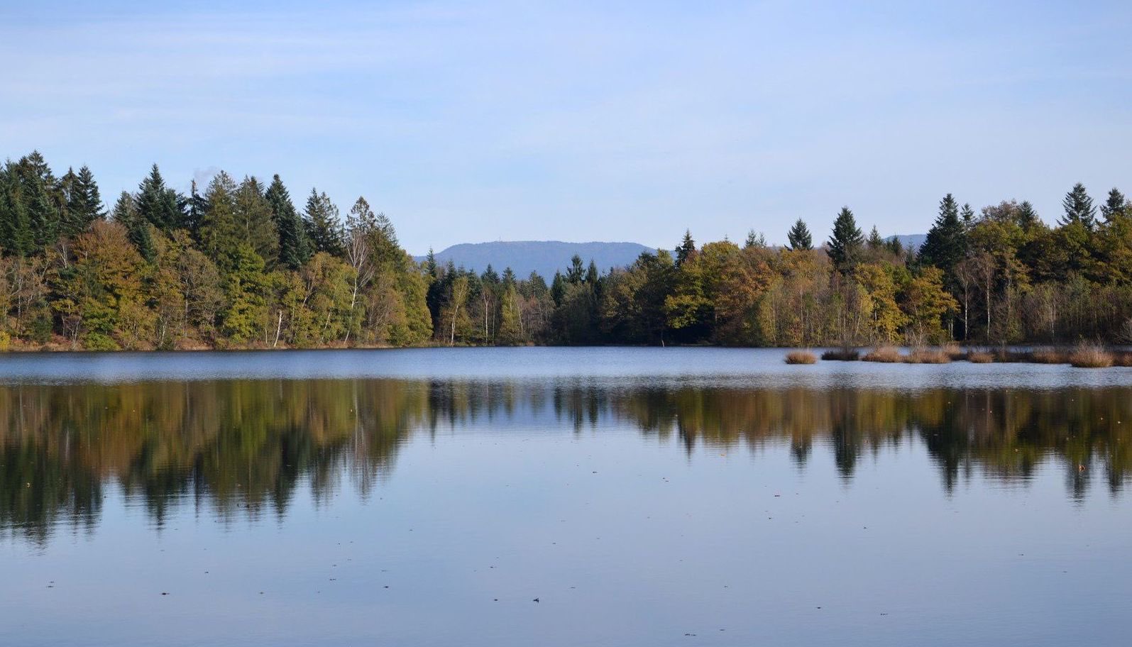
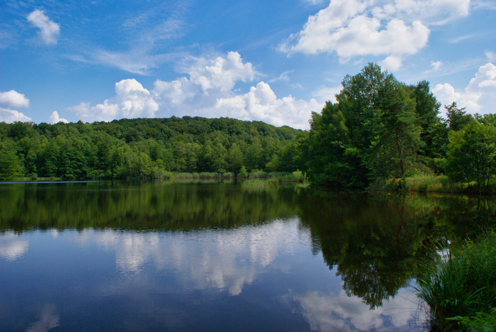
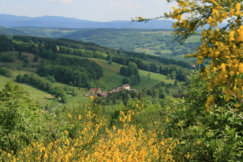
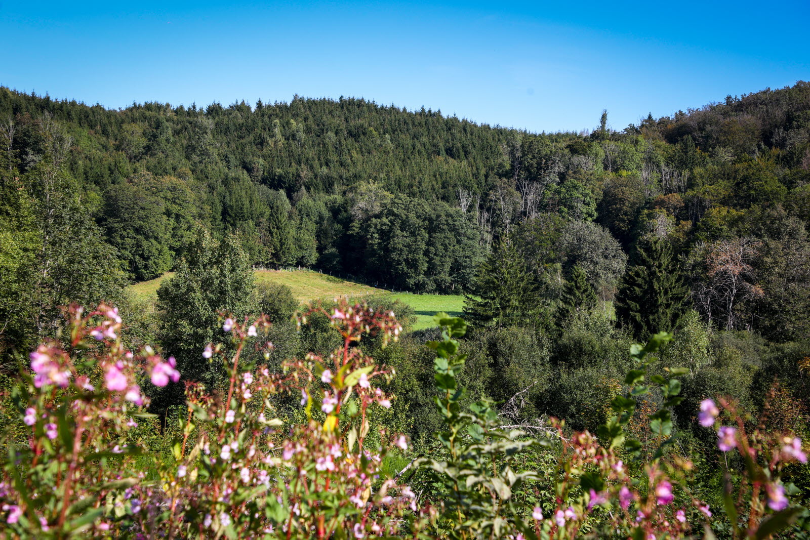
Departing from Saint-Bresson, this walk explores the beautiful landscapes of the Raddon valley. The route makes a loop mainly in the forest, crosses the hamlet of Les Maires d'Avaux then passes very close to the En Muse ponds before returning to the starting point.

Already more than 200,000 users!
Uphill
267m
Highest point
561m
Downhill
267m
Lowest point
380m
Route type
Loop
Download the map on your smartphone to save battery and rest assured to always keep access to the route, even without signal.
Includes IGN France and Swisstopo.
I indicate whether dogs are allowed or prohibited on this trail
All year
1 rating
Also enjoy:

Already more than 200,000 users!