Uphill
97m
Length
5km
Duration
1h30min
Elev gain
97m
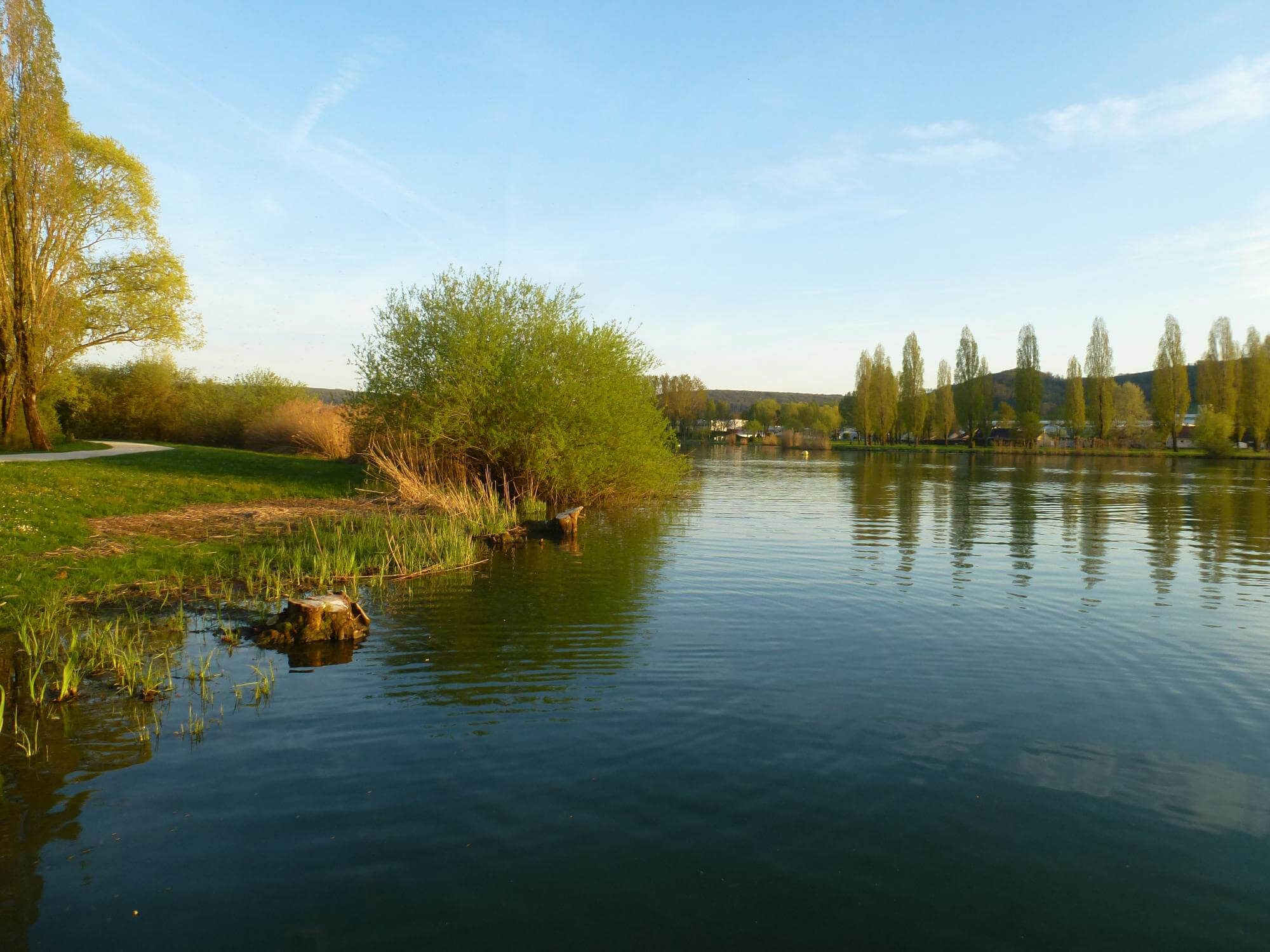
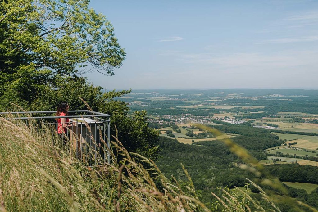
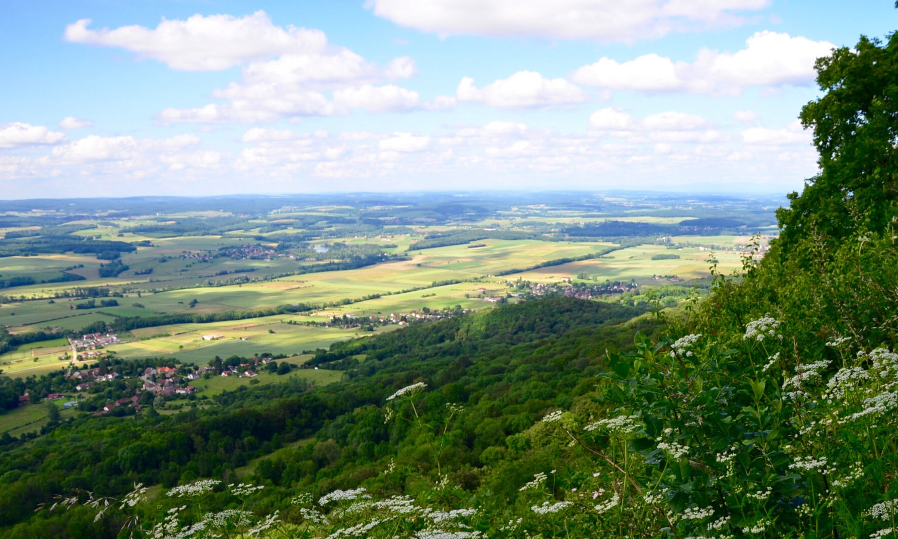
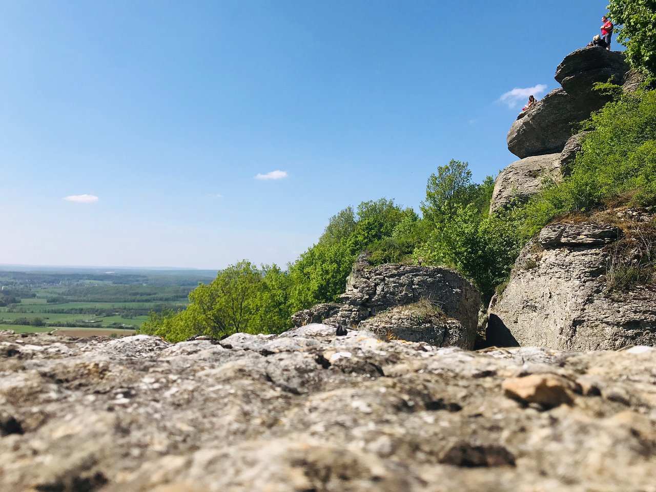
This is a nice walk close to Vesoul. The route follows a path leading to the rocks of Camp de César, offering a superb view of the village of Chariez and Lake Vaivre.

Already more than 200,000 users!
Uphill
97m
Highest point
375m
Downhill
97m
Lowest point
306m
Route type
Loop
Download the map on your smartphone to save battery and rest assured to always keep access to the route, even without signal.
Includes IGN France and Swisstopo.
I indicate whether dogs are allowed or prohibited on this trail
All year
1 rating
Also enjoy:

Already more than 200,000 users!