Uphill
699m
France > Bourgogne-Franche-Comté > Jura > Haut-Jura Nature Park
Length
20km
Duration
7h
Elev gain
699m
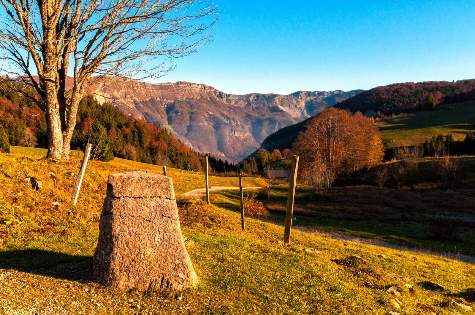
This last stage continues in line with the previous one, with landscapes of meadows and undergrowth typical of the Jura. The path runs along the small lake of L'Embouteilleux, then joins the famous Lion terminal. Installed in 1613, it marked the border between the kingdom of France and Franche-Comté, which then depended on... Spain! It was also a center of resistance during World War 2.
After admiring the view of the crests covered during the first day of the trek, you can continue walking on tracks, paths and small roads, in order to descend into the forest towards Lélex.

Already more than 200,000 users!
Uphill
699m
Highest point
1392m
Downhill
941m
Lowest point
851m
Route type
One way
Download the map on your smartphone to save battery and rest assured to always keep access to the route, even without signal.
Includes IGN France and Swisstopo.
I indicate whether dogs are allowed or prohibited on this trail
Can be difficult in Winter
4 ratings
Also enjoy:

Already more than 200,000 users!


