Uphill
16m
Length
4km
Duration
1h
Elev gain
16m
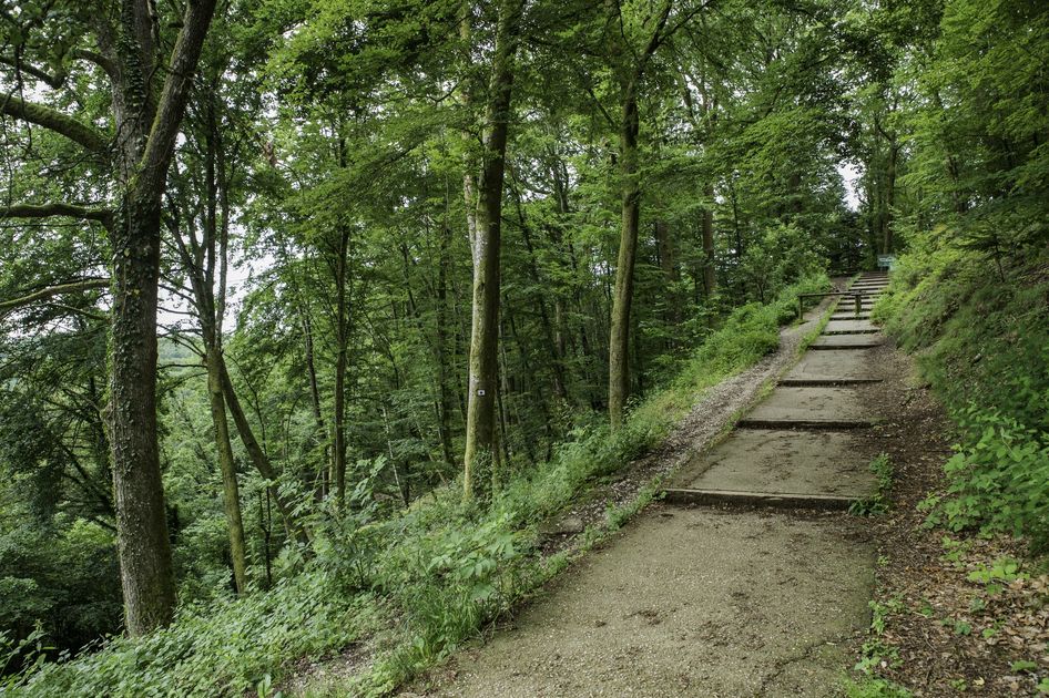
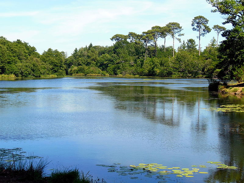
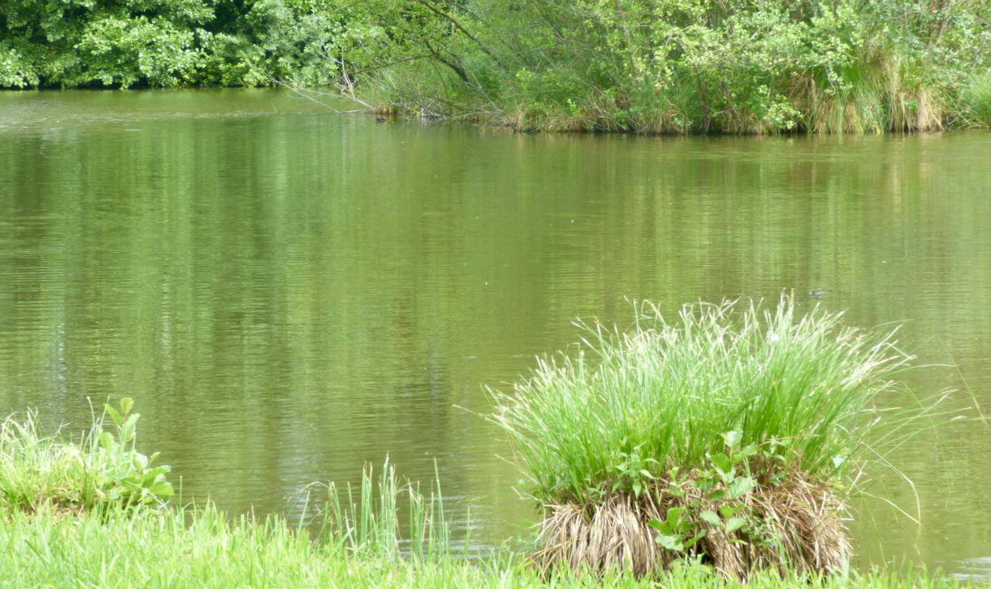
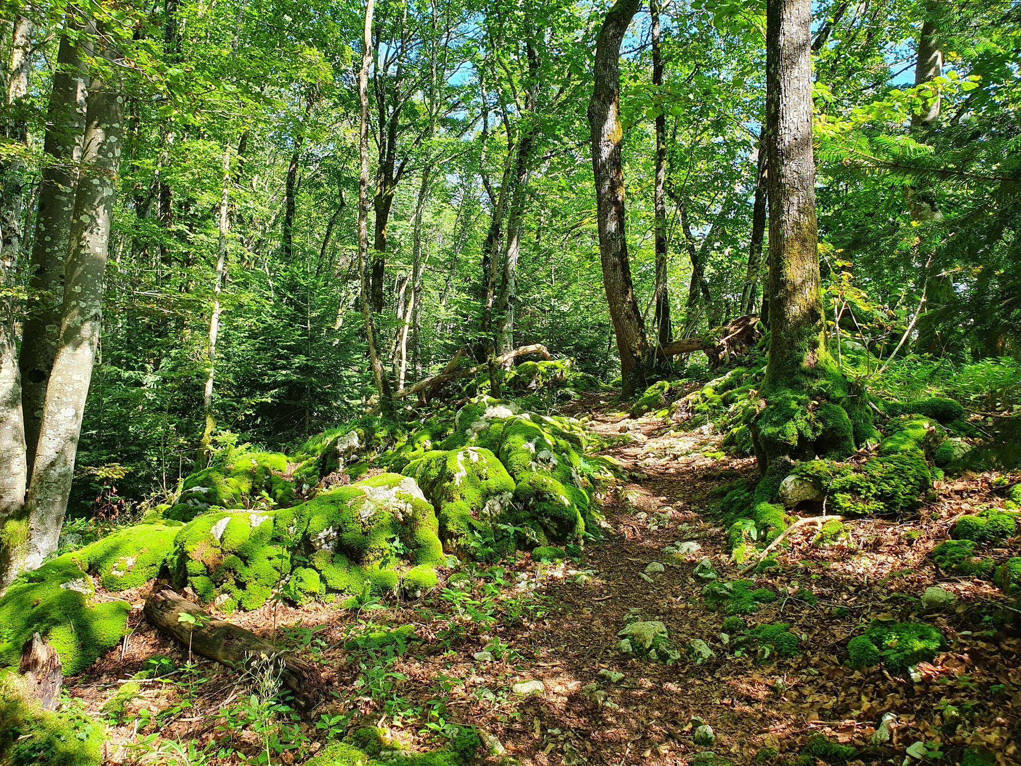
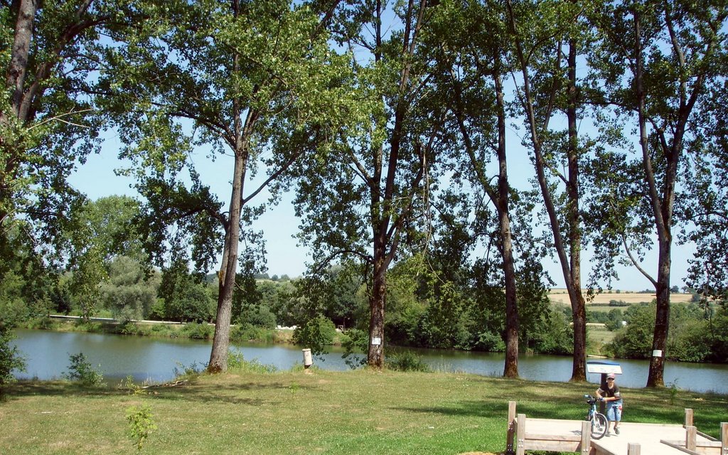
Path circling the Pâquis pond and the Dambenois gravel pit. The landscapes are pretty, but it should be noted that a motorway passes in the immediate vicinity and can be heard.

Already more than 200,000 users!
Uphill
16m
Highest point
336m
Downhill
16m
Lowest point
315m
Route type
Loop
Download the map on your smartphone to save battery and rest assured to always keep access to the route, even without signal.
Includes IGN France and Swisstopo.
I indicate whether dogs are allowed or prohibited on this trail
All year
3 ratings
Balade facile à faire en famille.
Also enjoy:

Already more than 200,000 users!