Uphill
28m
Length
4km
Duration
1h
Elev gain
28m
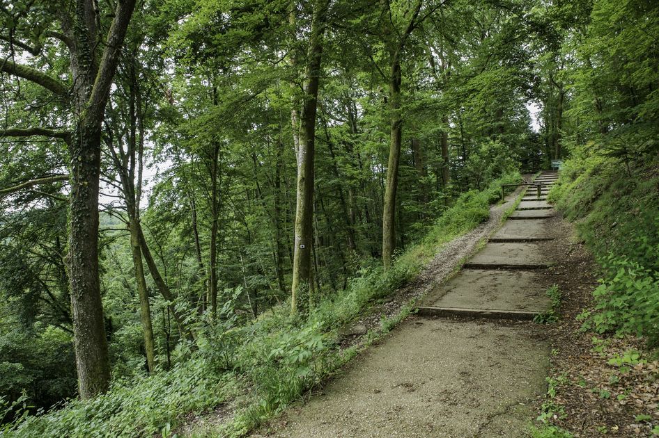
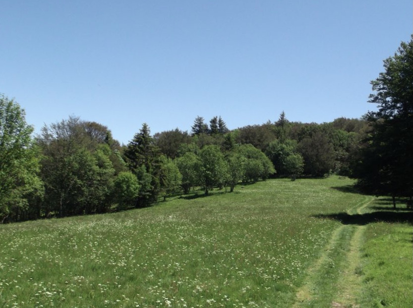
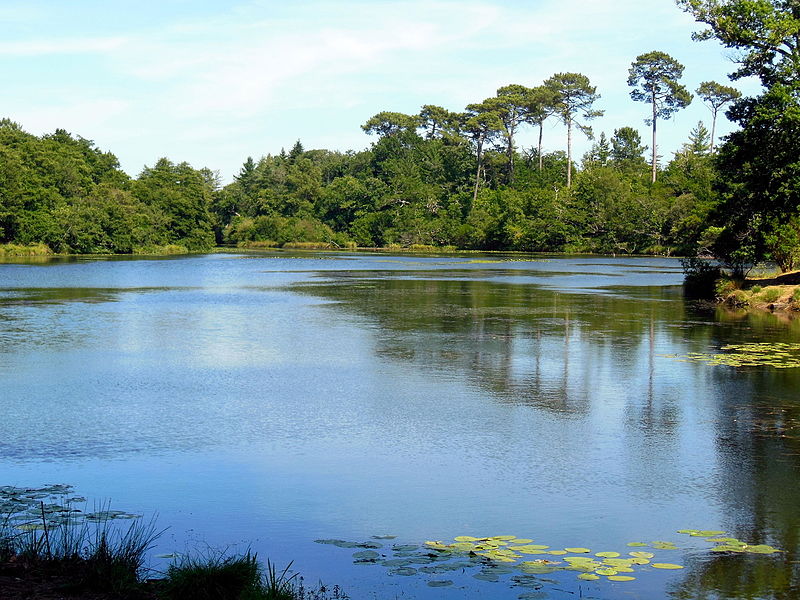
This walk takes place on a pleasant path laid out around the Etang des Forges. A beautiful island of nature where time stands still.

Already more than 200,000 users!
Uphill
28m
Highest point
381m
Downhill
28m
Lowest point
354m
Route type
Loop
Download the map on your smartphone to save battery and rest assured to always keep access to the route, even without signal.
Includes IGN France and Swisstopo.
I indicate whether dogs are allowed or prohibited on this trail
All year
1 rating
Also enjoy:

Already more than 200,000 users!