Uphill
99m
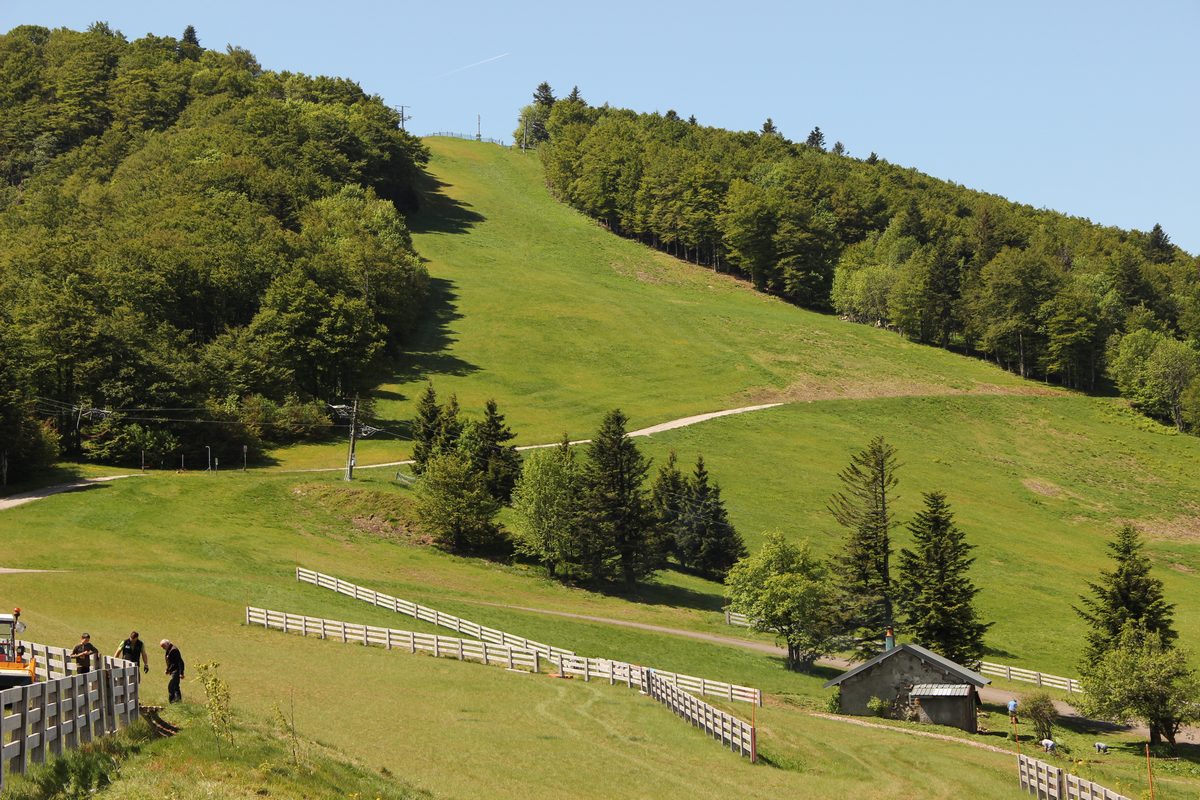
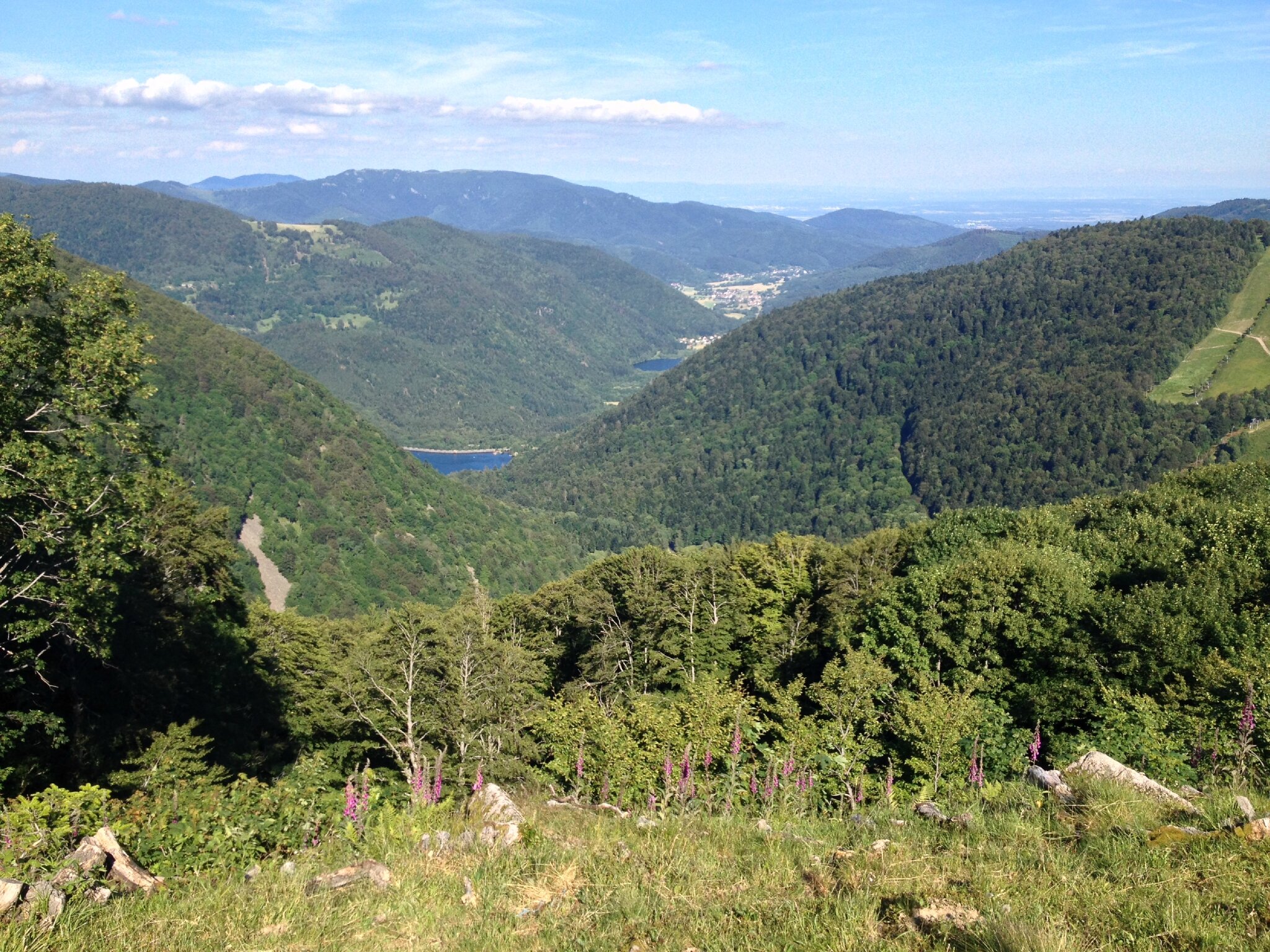
France > Bourgogne-Franche-Comté > Territoire-de-Belfort > Ballons des Vosges Regional Natural Park
Length
4km
Duration
1h
Elev gain
99m
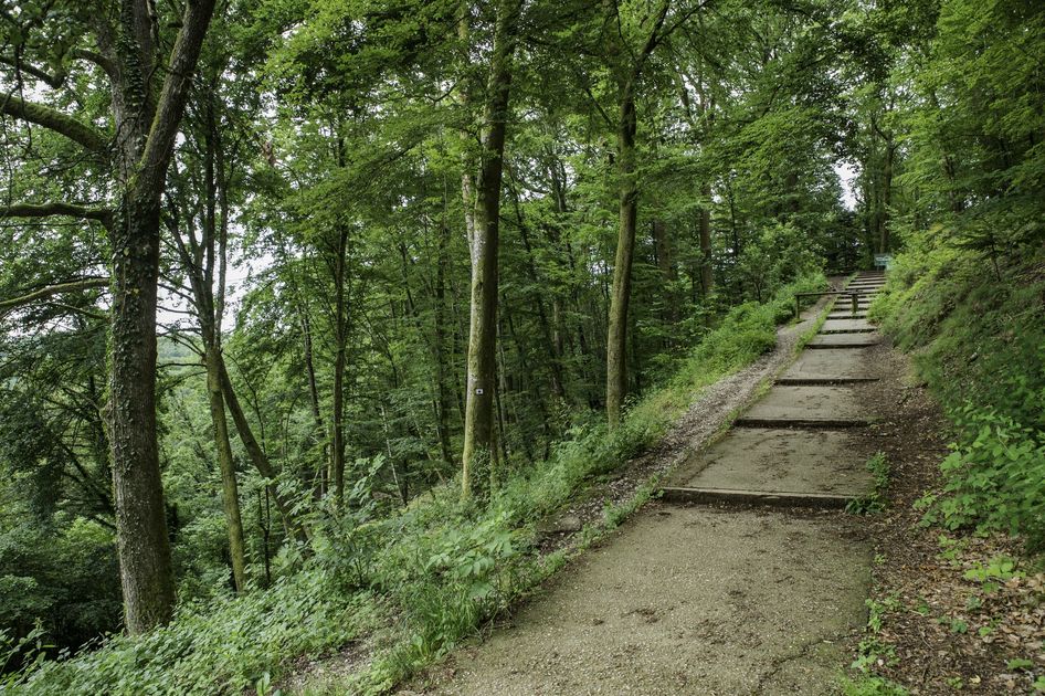
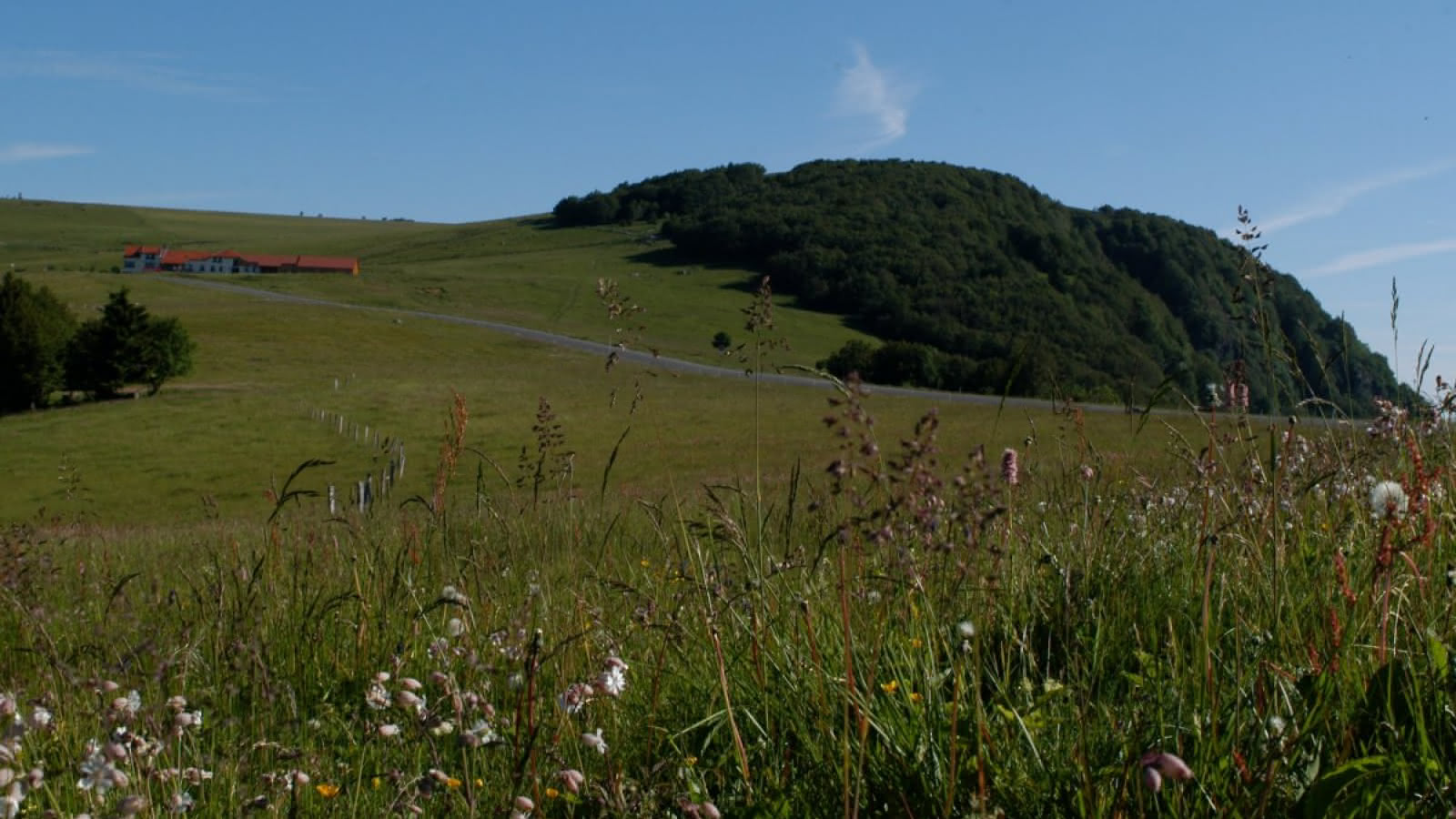
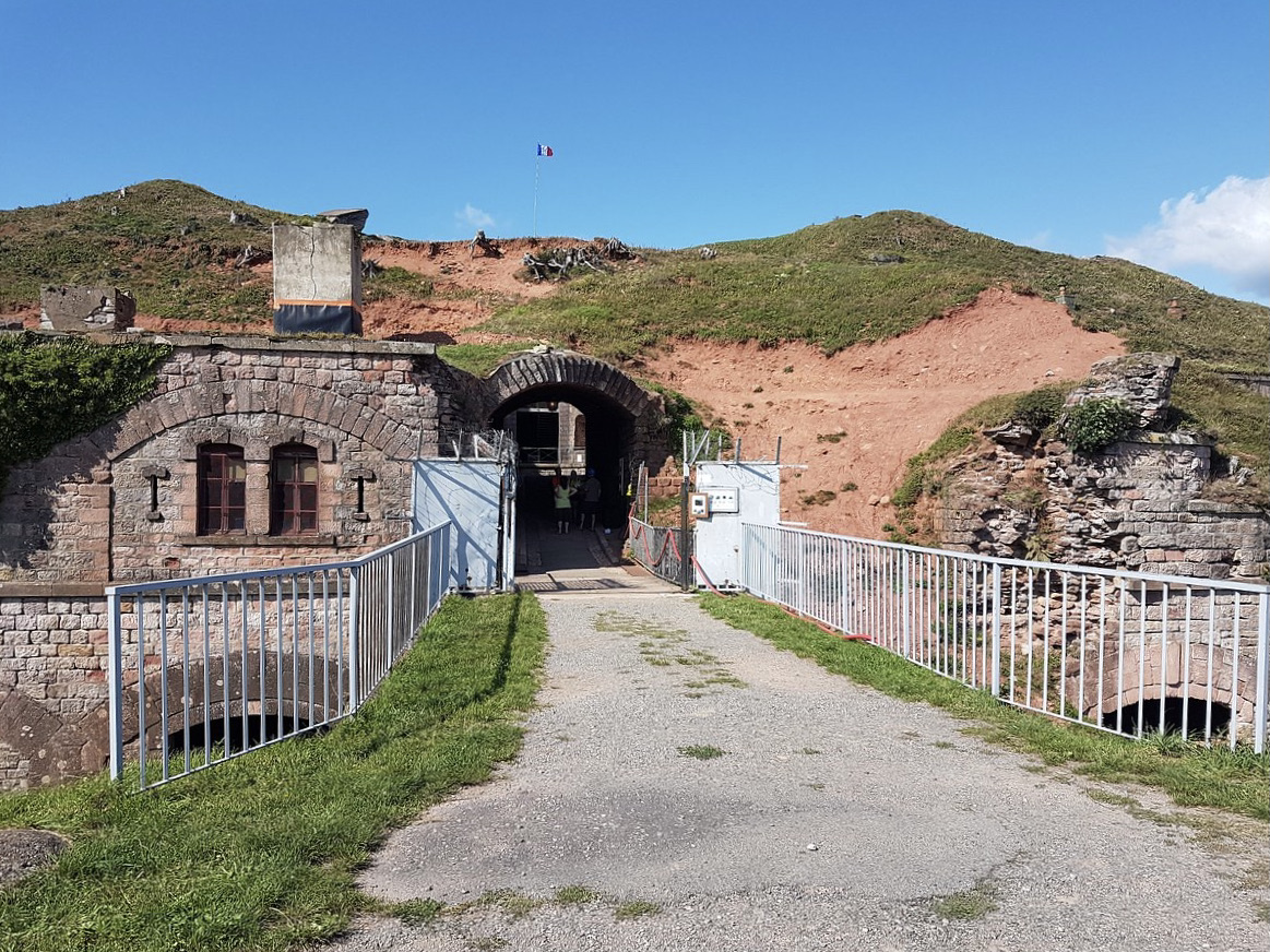
Nice walk that lends itself well to a family outing. The route takes the pretty Chemin des Forts to reach the Fort Dorsner, built on a rocky outcrop in 1875.

Already more than 200,000 users!
Uphill
99m
Highest point
568m
Downhill
99m
Lowest point
462m
Route type
There and back
Download the map on your smartphone to save battery and rest assured to always keep access to the route, even without signal.
Includes IGN France and Swisstopo.
I indicate whether dogs are allowed or prohibited on this trail
All year
0 ratings
Also enjoy:

Already more than 200,000 users!