Uphill
308m
Length
9km
Duration
3h
Elev gain
308m
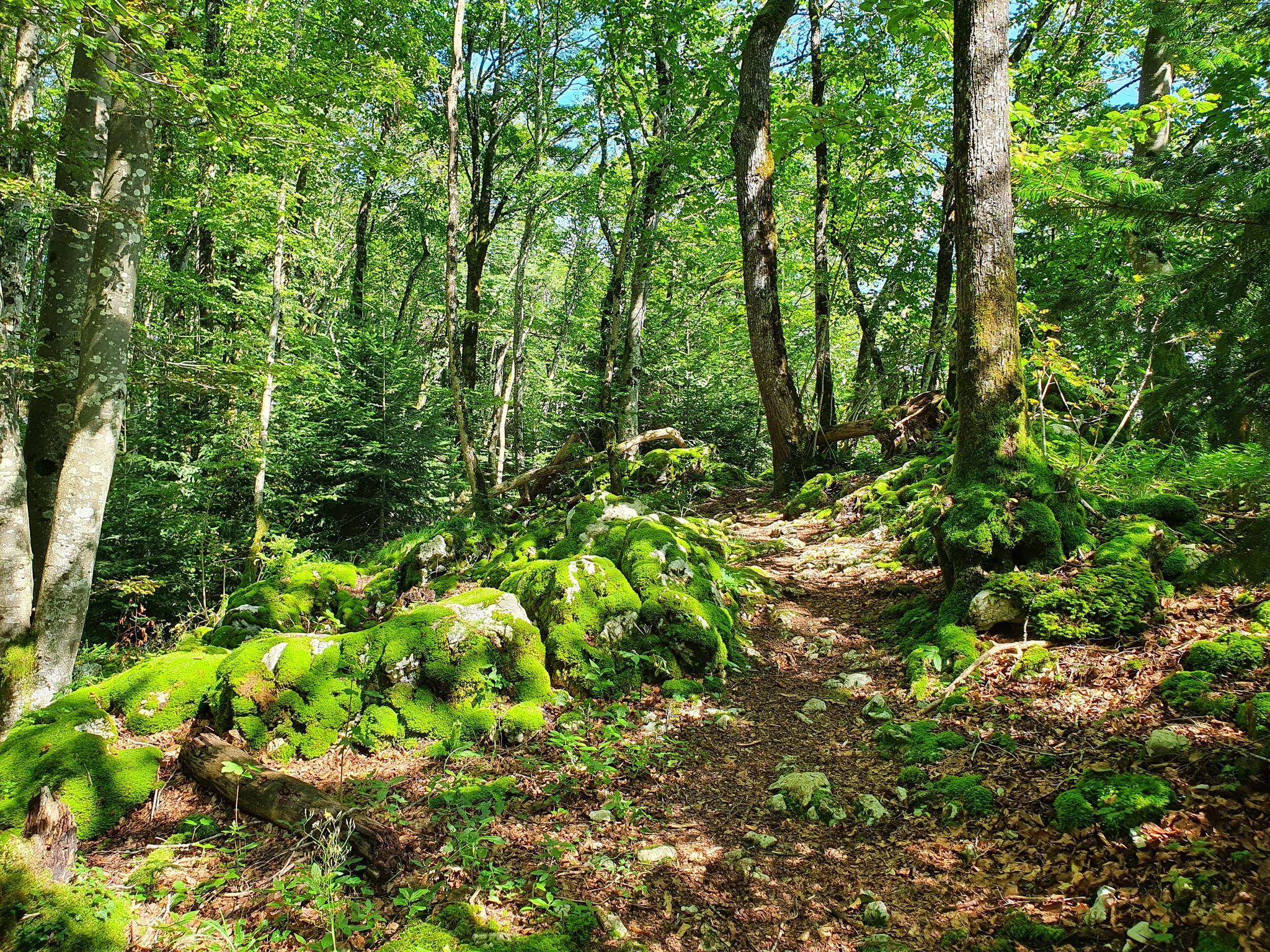
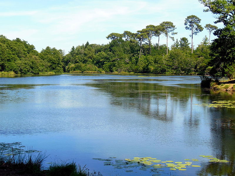
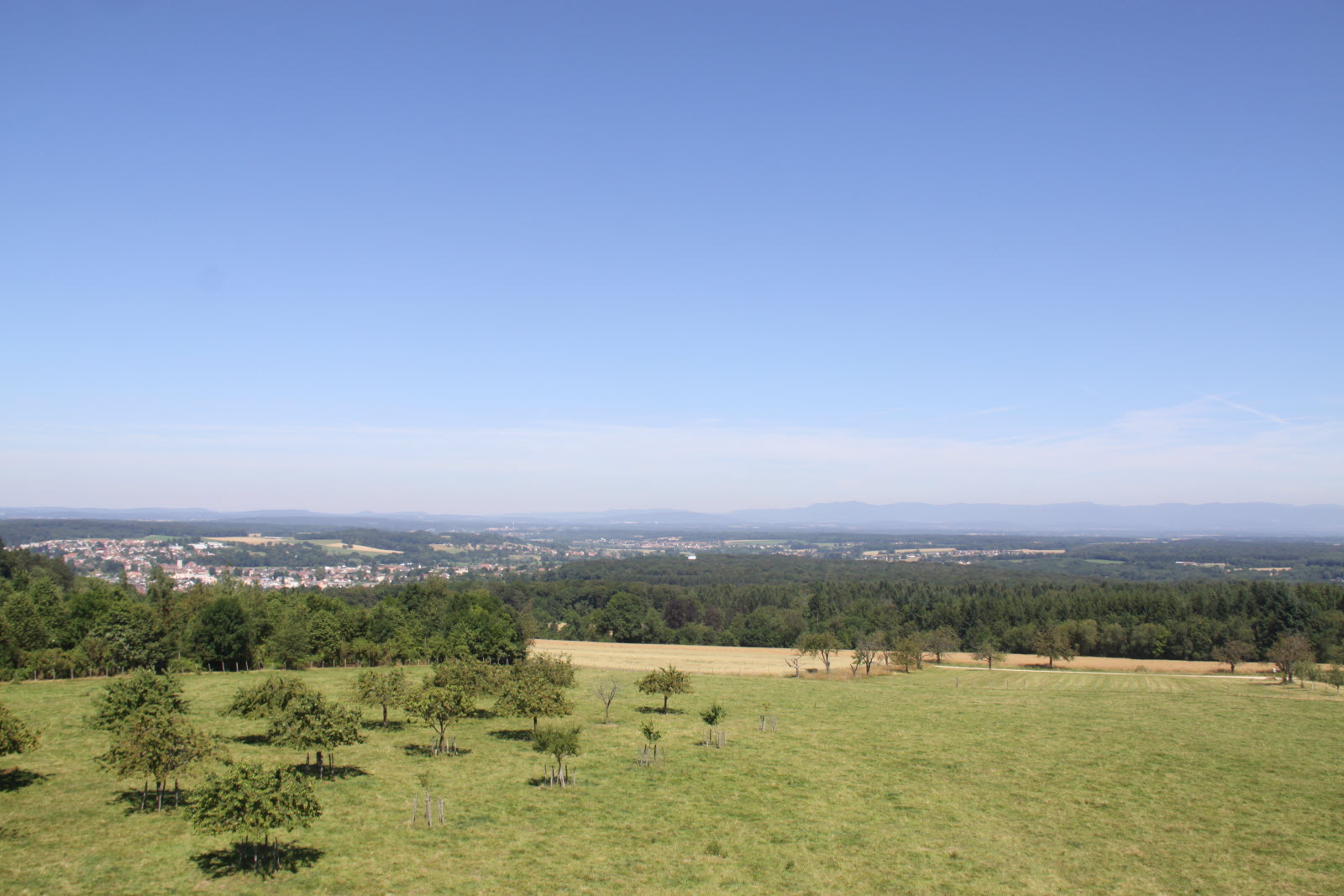
Leaving from Boncourt, this pretty walk climbs to the summit of Mont Renaud. At the top, we take advantage of the observation tower and the view of France before heading back to the starting point.

Already more than 200,000 users!
Uphill
308m
Highest point
512m
Downhill
308m
Lowest point
348m
Route type
Loop
Download the map on your smartphone to save battery and rest assured to always keep access to the route, even without signal.
Includes IGN France and Swisstopo.
I indicate whether dogs are allowed or prohibited on this trail
All year
0 ratings
Also enjoy:

Already more than 200,000 users!