Uphill
337m
France > Bourgogne-Franche-Comté > Jura > Haut-Jura Nature Park
Length
11km
Duration
3h30min
Elev gain
337m
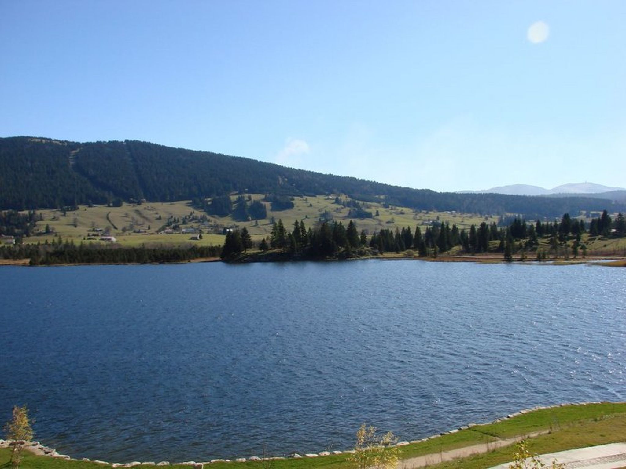
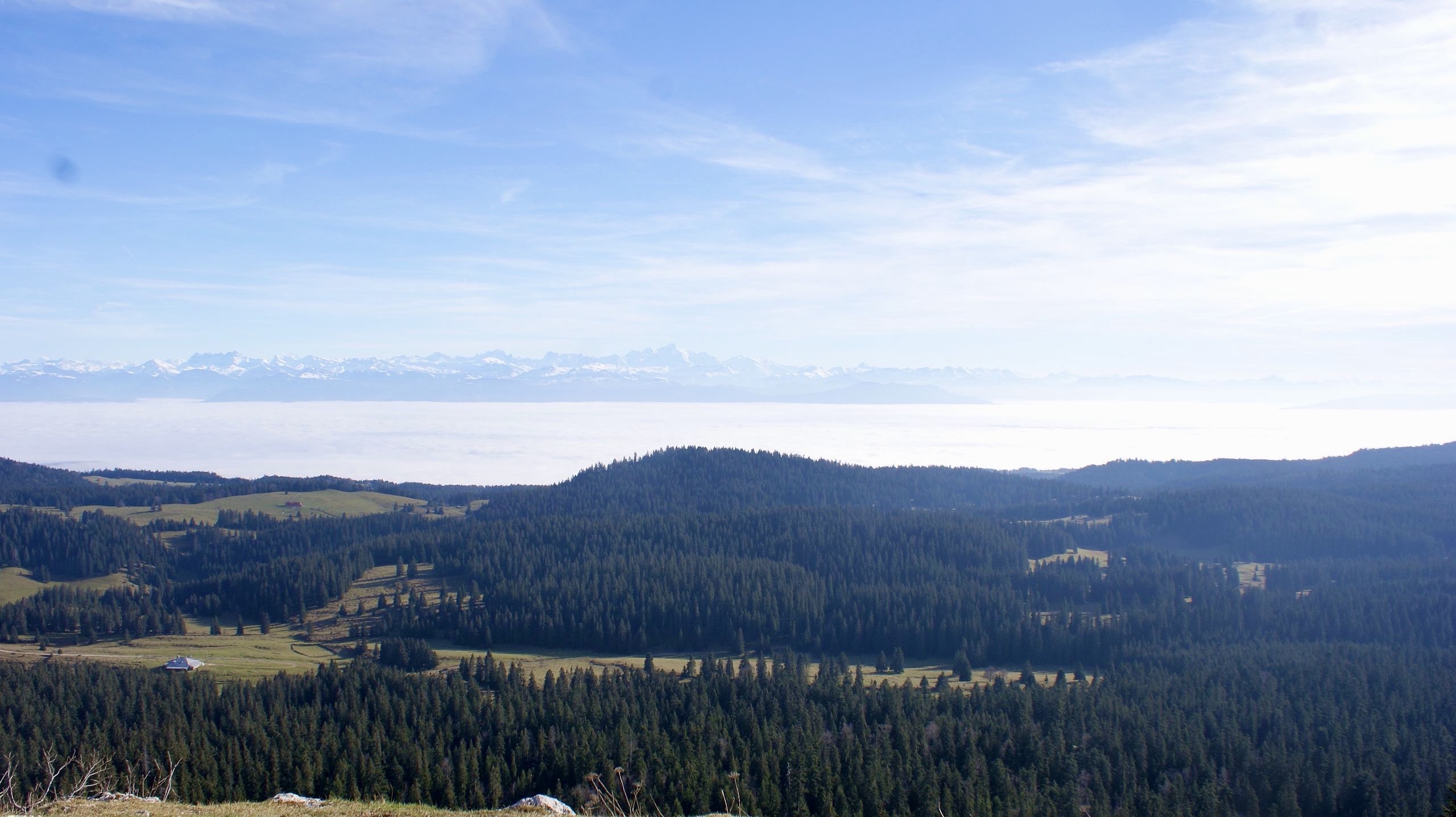
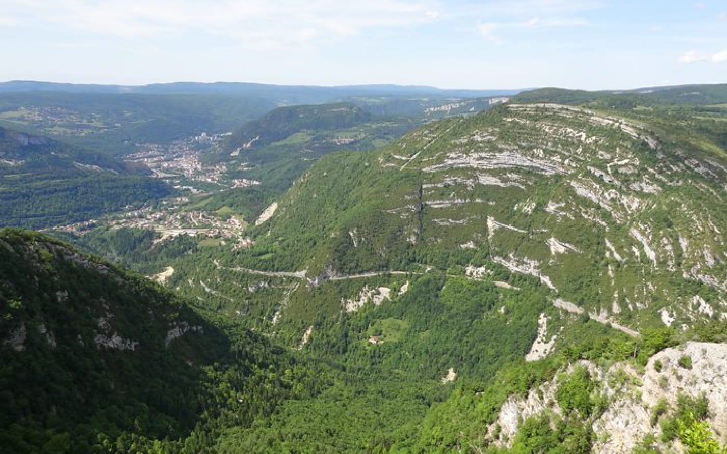
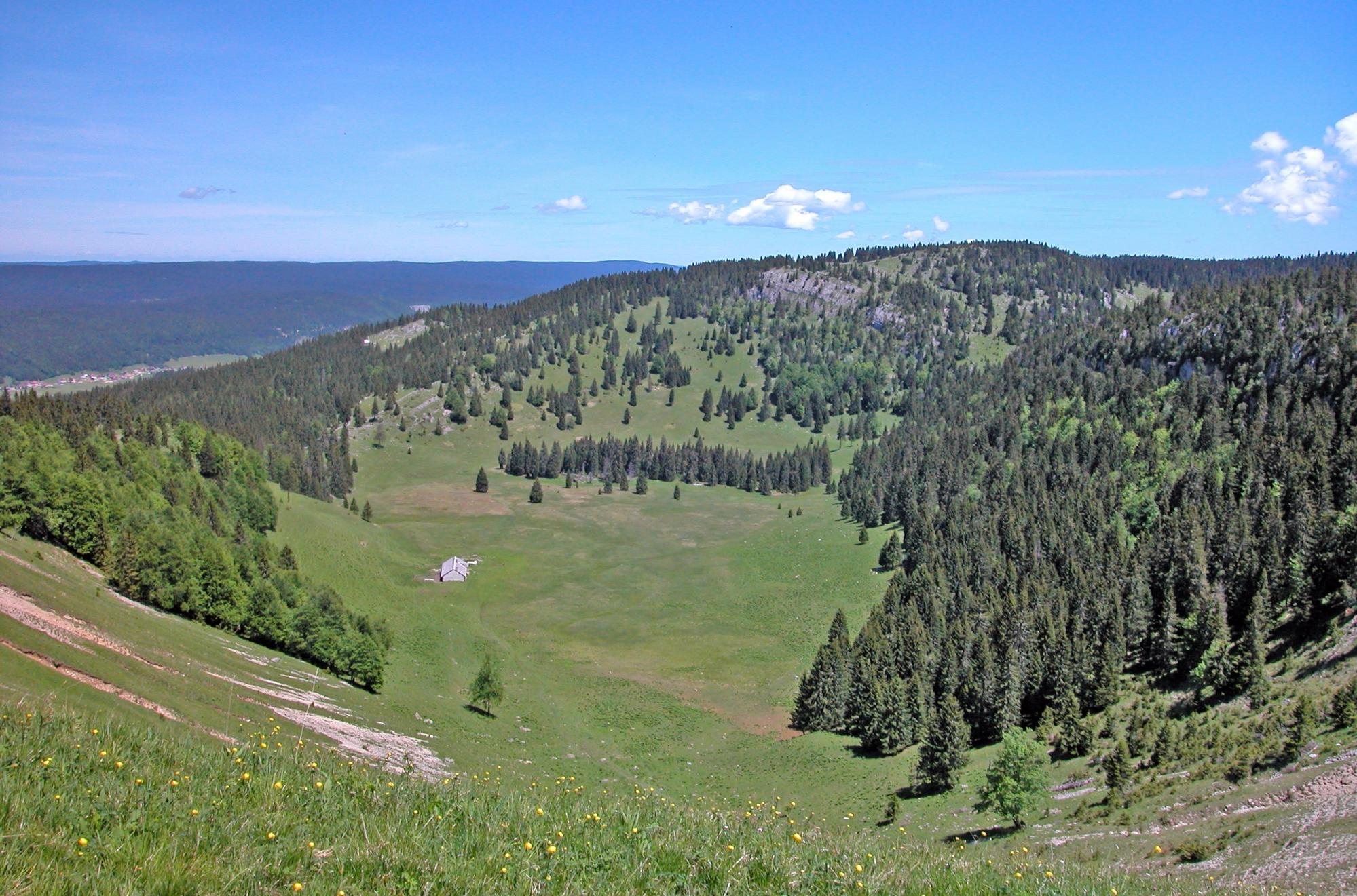
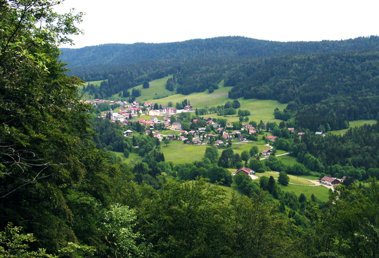
Departing from Bellefontaine, this hike takes to the heights of the village in order to offer beautiful viewpoints. Between forest and meadows, the route notably passes by the belvedere of La Roche Devant.

Already more than 200,000 users!
Uphill
337m
Highest point
1173m
Downhill
337m
Lowest point
1020m
Route type
Loop
Download the map on your smartphone to save battery and rest assured to always keep access to the route, even without signal.
Includes IGN France and Swisstopo.
I indicate whether dogs are allowed or prohibited on this trail
Can be difficult in Winter
0 ratings
Also enjoy:

Already more than 200,000 users!