Uphill
498m
Length
11km
Duration
4h
Elev gain
498m
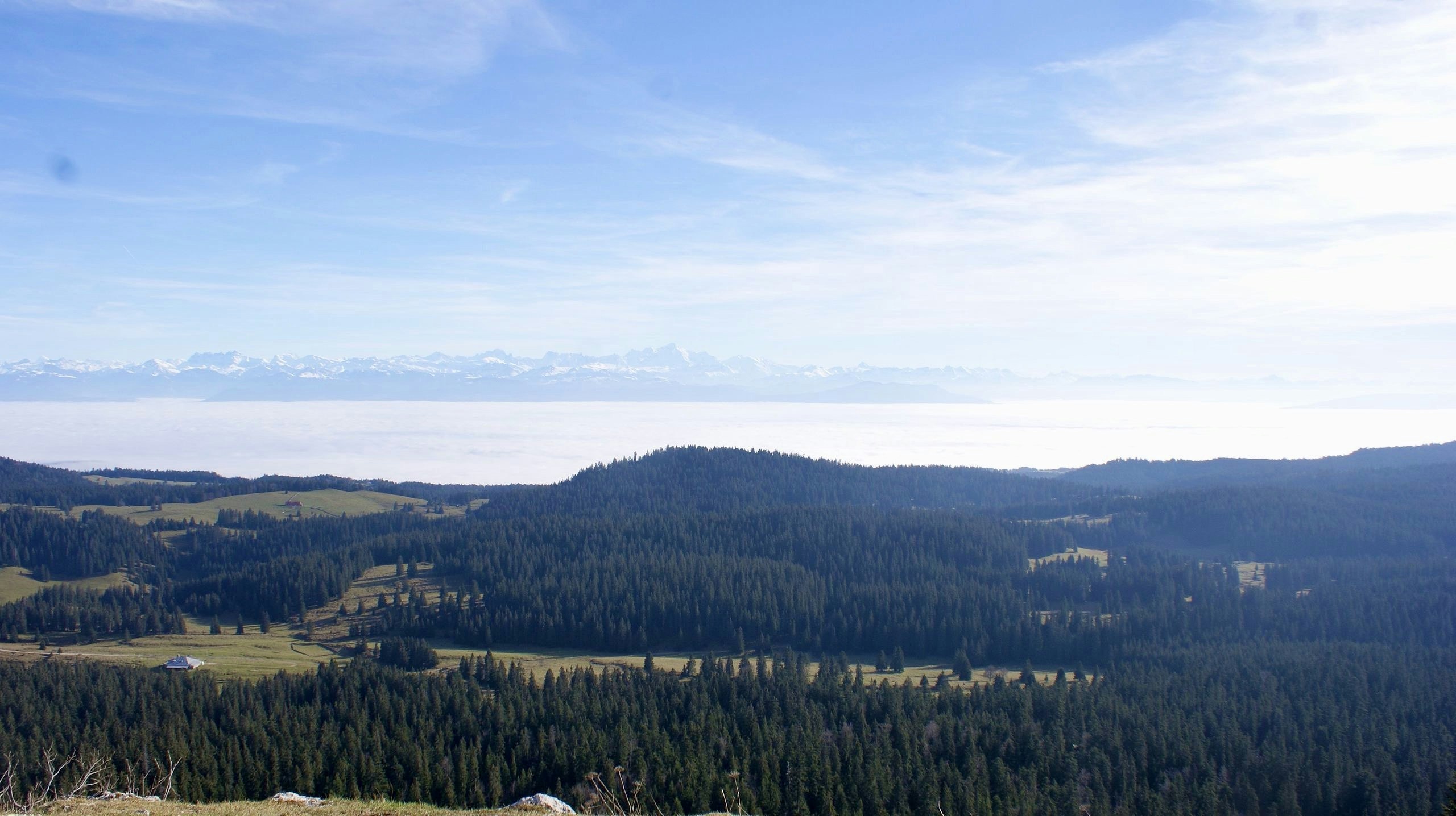
This hike in the Swiss Jura takes you to the top of Mont Sala, offering a very nice view of Lake Geneva and the Alps.

Already more than 200,000 users!
Uphill
498m
Highest point
1536m
Downhill
498m
Lowest point
1118m
Route type
Loop
Download the map on your smartphone to save battery and rest assured to always keep access to the route, even without signal.
Includes IGN France and Swisstopo.
I indicate whether dogs are allowed or prohibited on this trail
Can be difficult in Winter
1 rating
Also enjoy:

Already more than 200,000 users!


