Uphill
468m
Length
6km
Duration
3h30min
Elev gain
468m
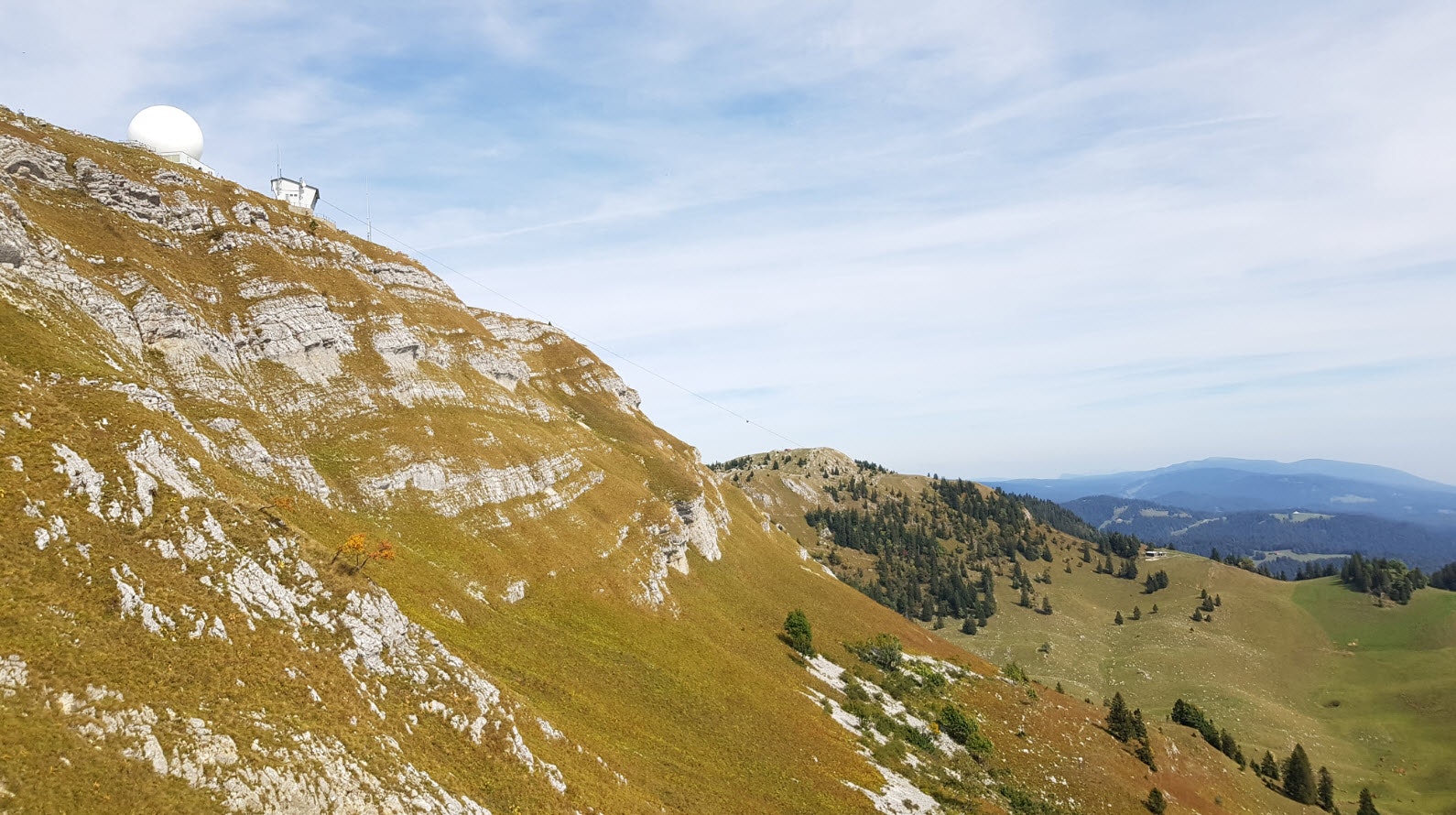
Departing from Les Dappes, this trail leads to the top of the Dôle (1677 m). The view on arrival is magnificent, including Lake Geneva, Mont Blanc and the Alps.
However, note that there are ski lifts around the trail.

Already more than 200,000 users!
Uphill
468m
Highest point
1682m
Downhill
468m
Lowest point
1238m
Route type
There and back
Download the map on your smartphone to save battery and rest assured to always keep access to the route, even without signal.
Includes IGN France and Swisstopo.
I indicate whether dogs are allowed or prohibited on this trail
From May to October
4 ratings
Boring crowdy climb. Views on the top are beautiful. Descent on the other side of la Dole is nicer.
Also enjoy:

Already more than 200,000 users!


