Uphill
76m
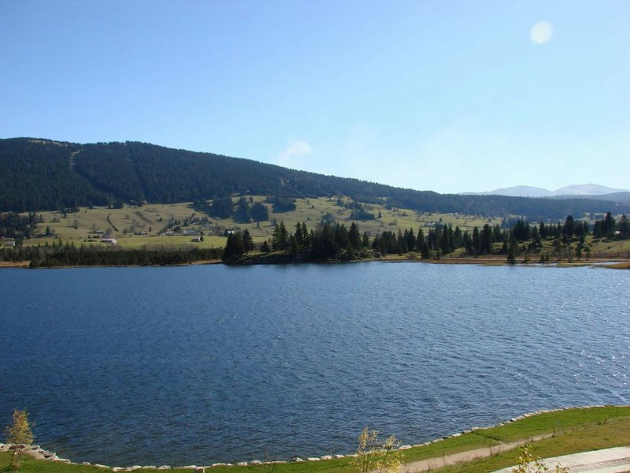
France > Bourgogne-Franche-Comté > Jura > Haut-Jura Nature Park
Length
4km
Duration
1h
Elev gain
76m
Here is a family walk located at Lac des Rousses. The route makes a round trip along the lake and passes by the nautical base of Les Rousses, ideal for water sports and swimming.

Already more than 200,000 users!
Uphill
76m
Highest point
1098m
Downhill
76m
Lowest point
1051m
Route type
There and back
Download the map on your smartphone to save battery and rest assured to always keep access to the route, even without signal.
Includes IGN France and Swisstopo.
I indicate whether dogs are allowed or prohibited on this trail
Can be difficult in Winter
1 rating
Also enjoy:

Already more than 200,000 users!


