Uphill
84m
Length
5km
Duration
1h30min
Elev gain
84m
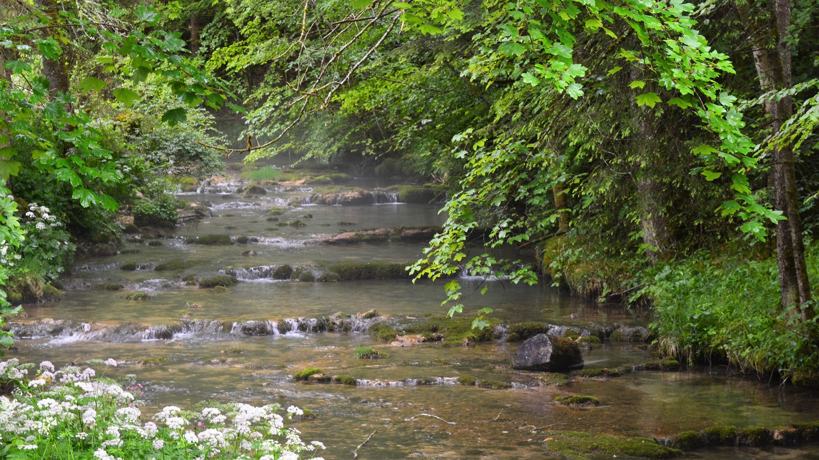
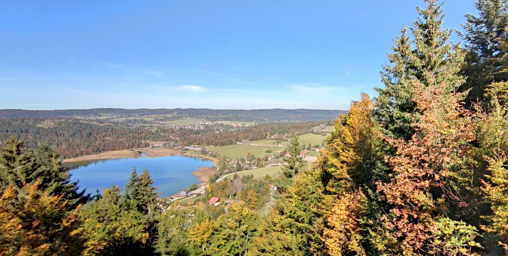
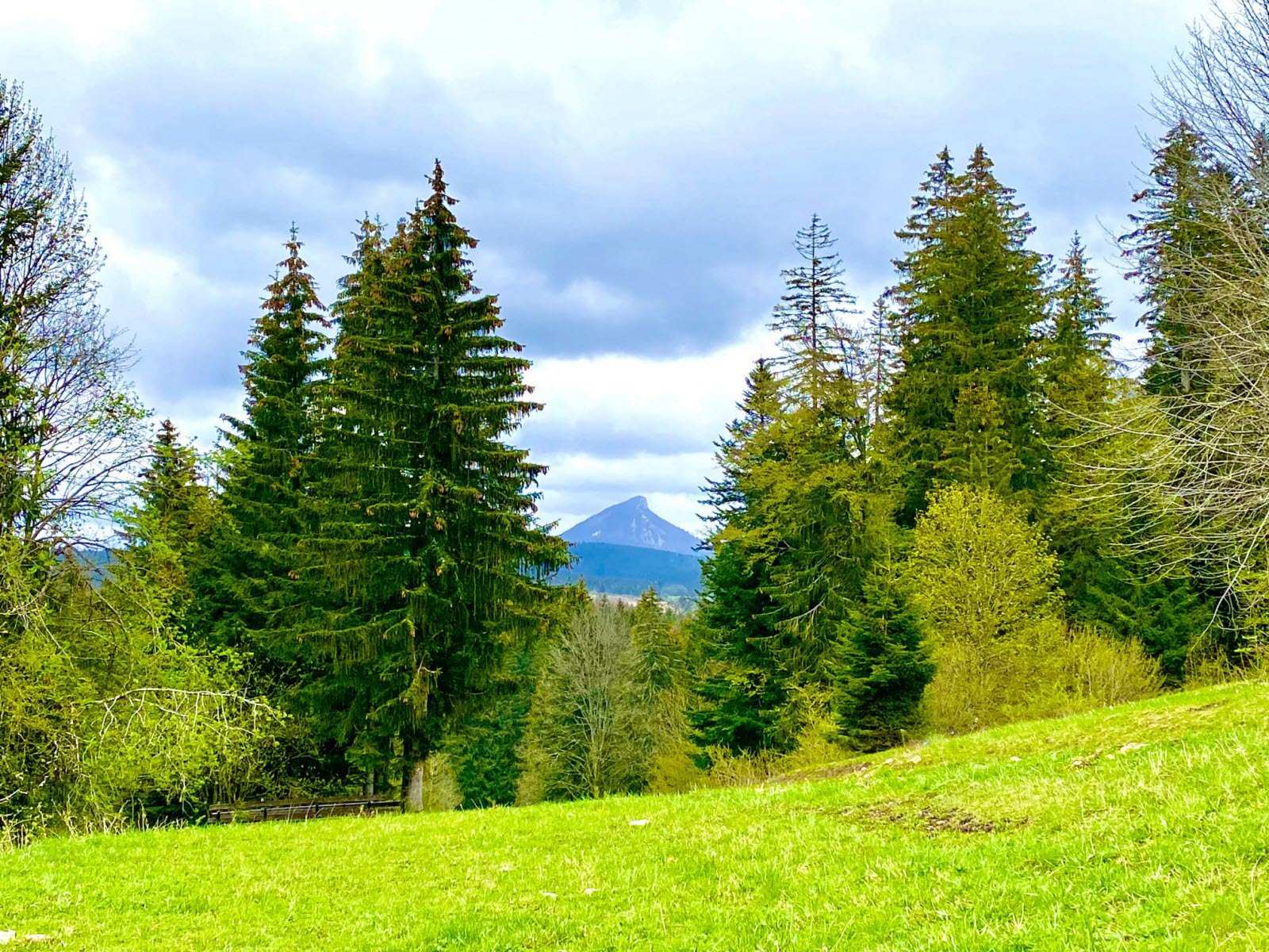
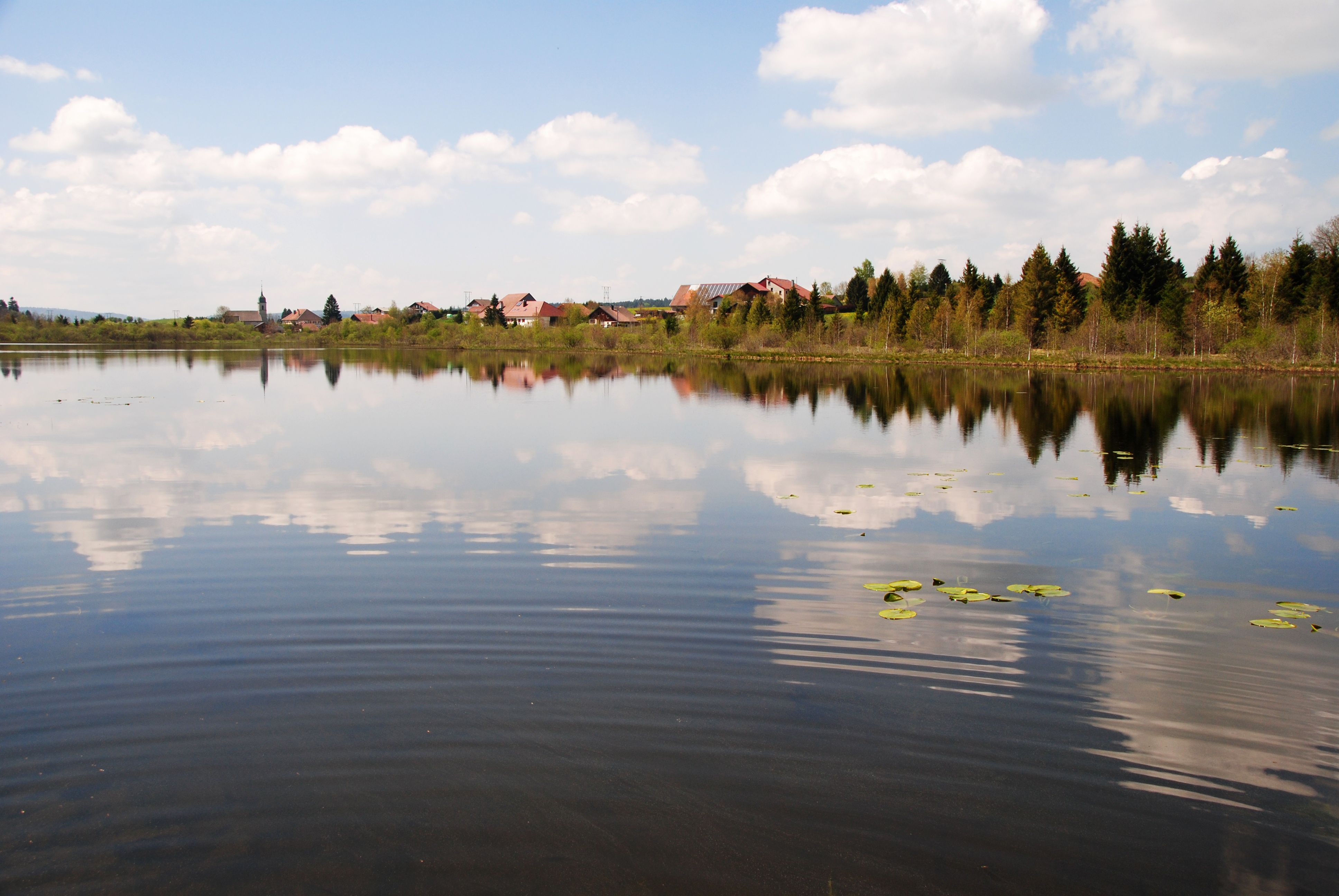
Walk in the bogs of Malpas, circling a small lake without approaching it. The path runs through marshes and undergrowth.

Already more than 200,000 users!
Uphill
84m
Highest point
979m
Downhill
84m
Lowest point
912m
Route type
Loop
Download the map on your smartphone to save battery and rest assured to always keep access to the route, even without signal.
Includes IGN France and Swisstopo.
I indicate whether dogs are allowed or prohibited on this trail
Can be difficult in Winter
0 ratings
Also enjoy:

Already more than 200,000 users!