Uphill
237m
Length
6km
Duration
2h
Elev gain
237m
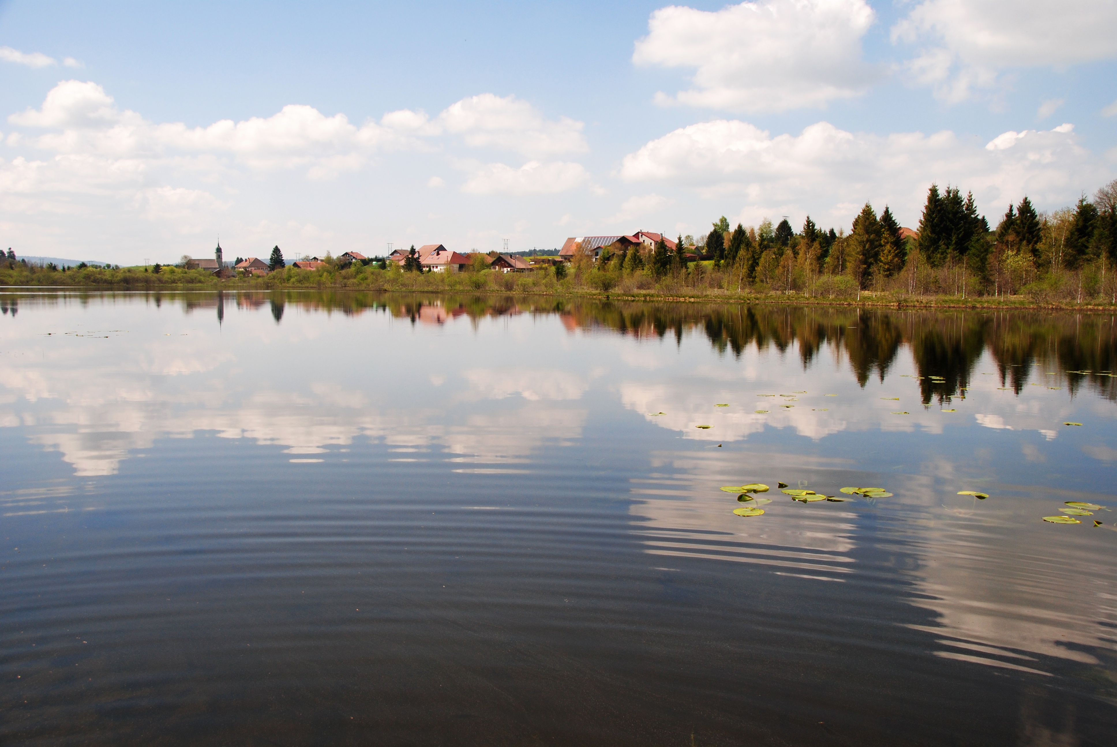
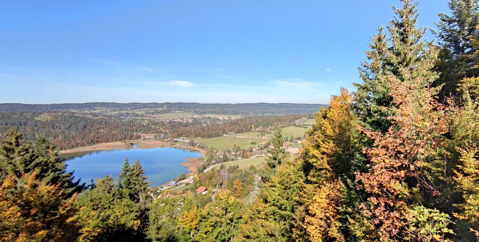
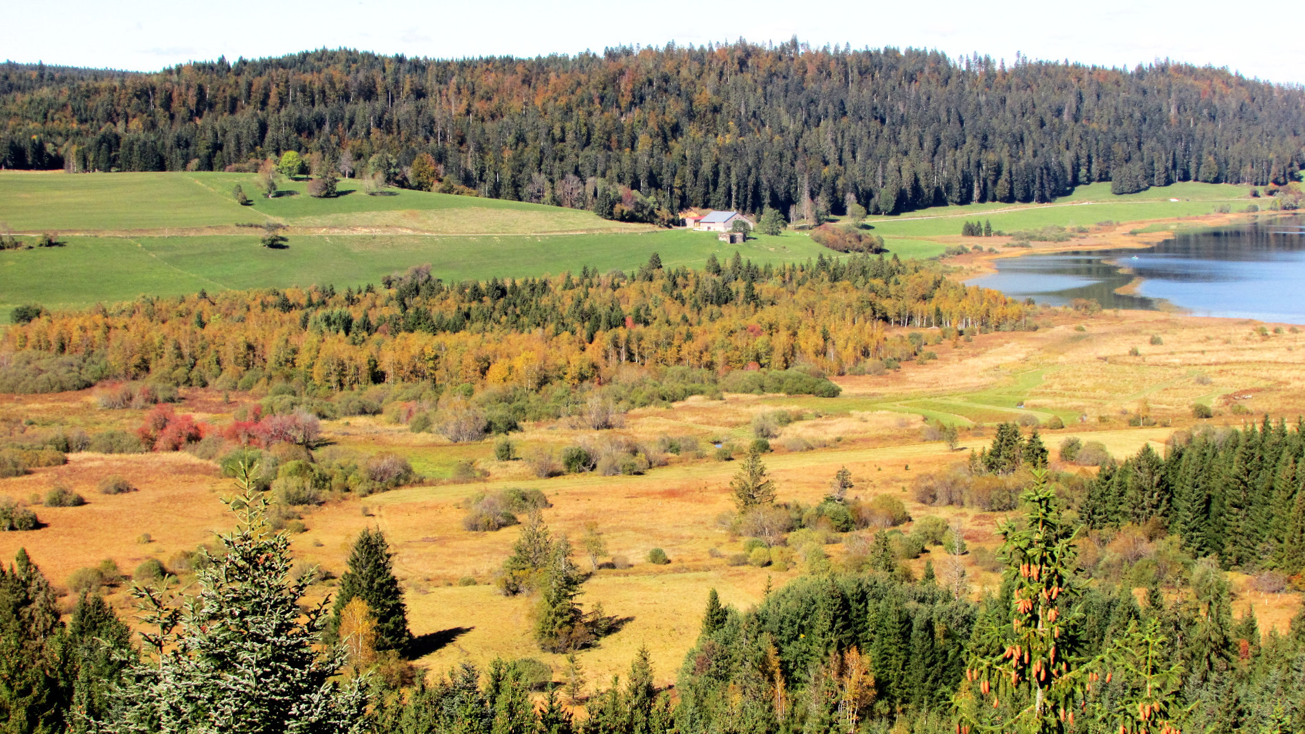
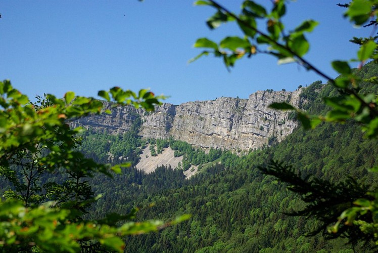
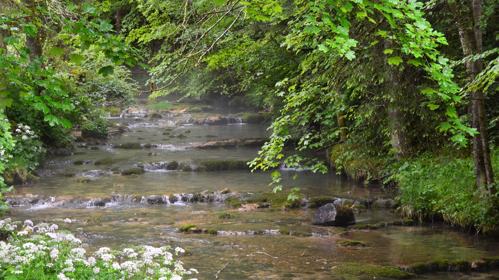
Nice hike from Malbuisson. The path climbs and quickly gives a beautiful view of the lake of Saint-Point. Short break in the shade of the trees then return to the parking lot by the banks.

Already more than 200,000 users!
Uphill
237m
Highest point
1026m
Downhill
237m
Lowest point
852m
Route type
Loop
Download the map on your smartphone to save battery and rest assured to always keep access to the route, even without signal.
Includes IGN France and Swisstopo.
I indicate whether dogs are allowed or prohibited on this trail
Can be difficult in Winter
6 ratings
Also enjoy:

Already more than 200,000 users!