Uphill
134m
France > Bourgogne-Franche-Comté > Doubs > Haut-Jura Nature Park
Length
6km
Duration
2h
Elev gain
134m
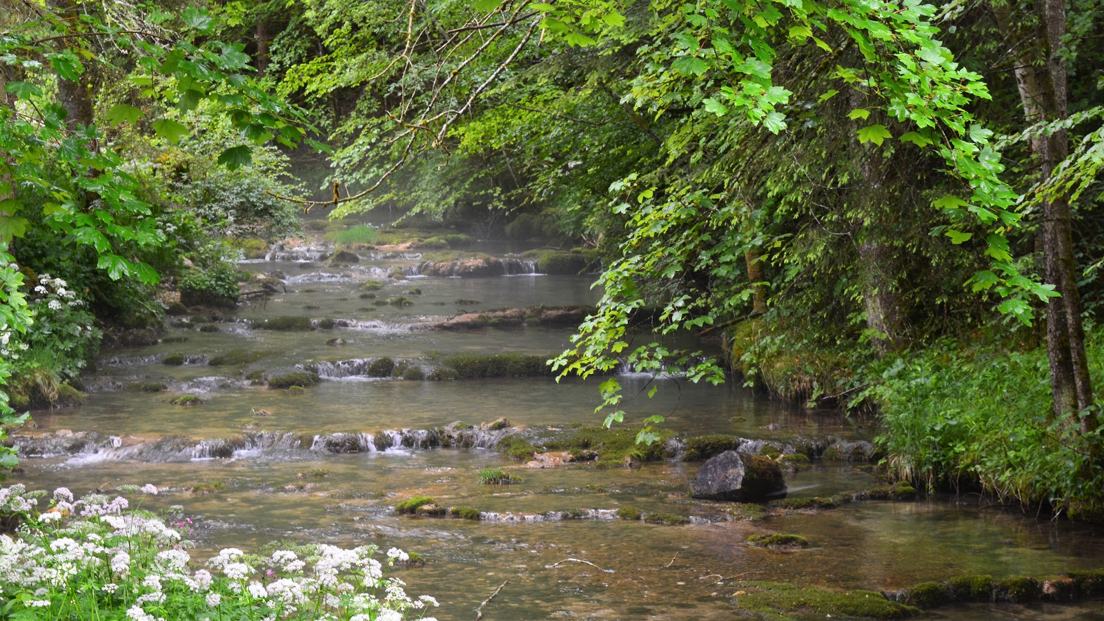
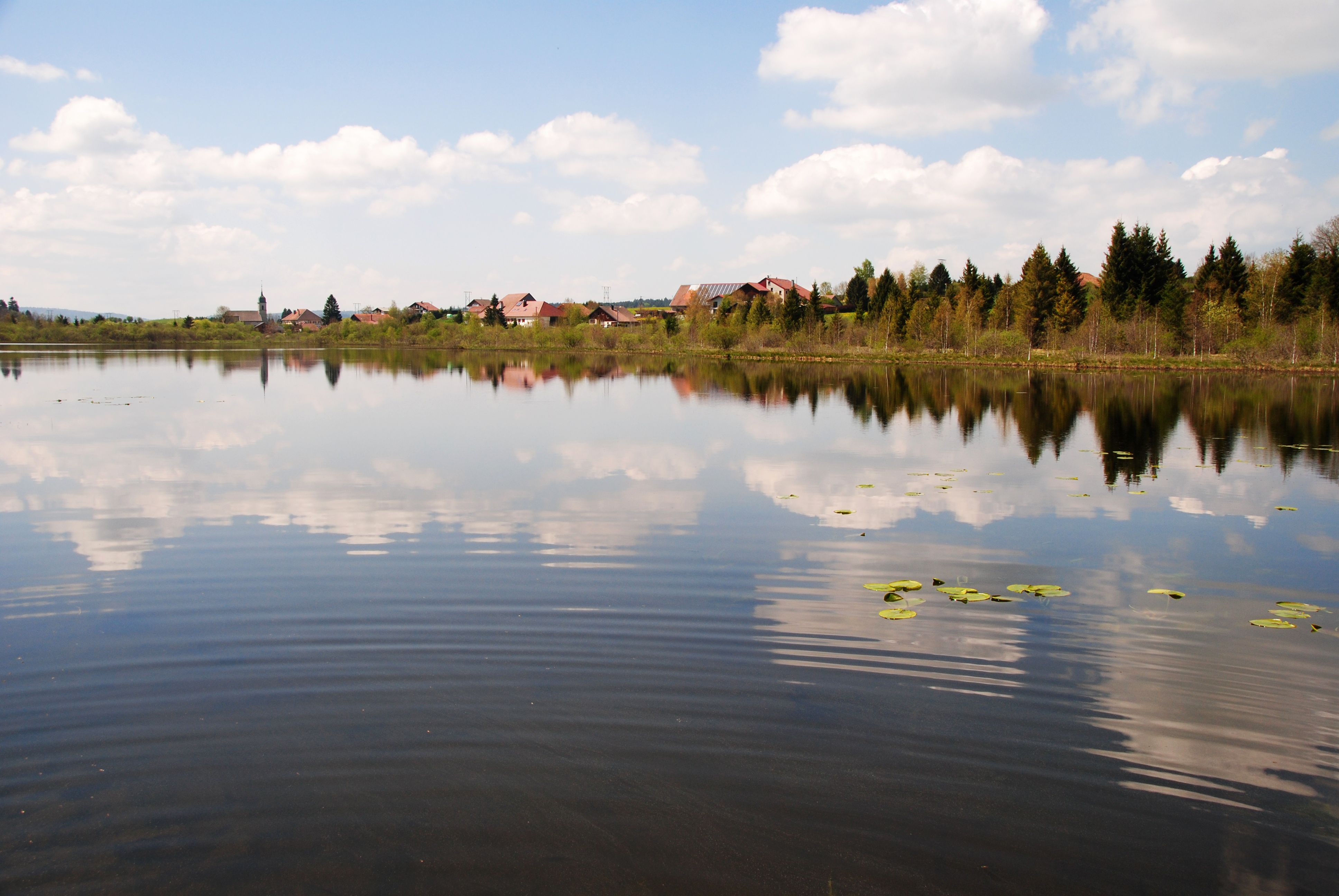
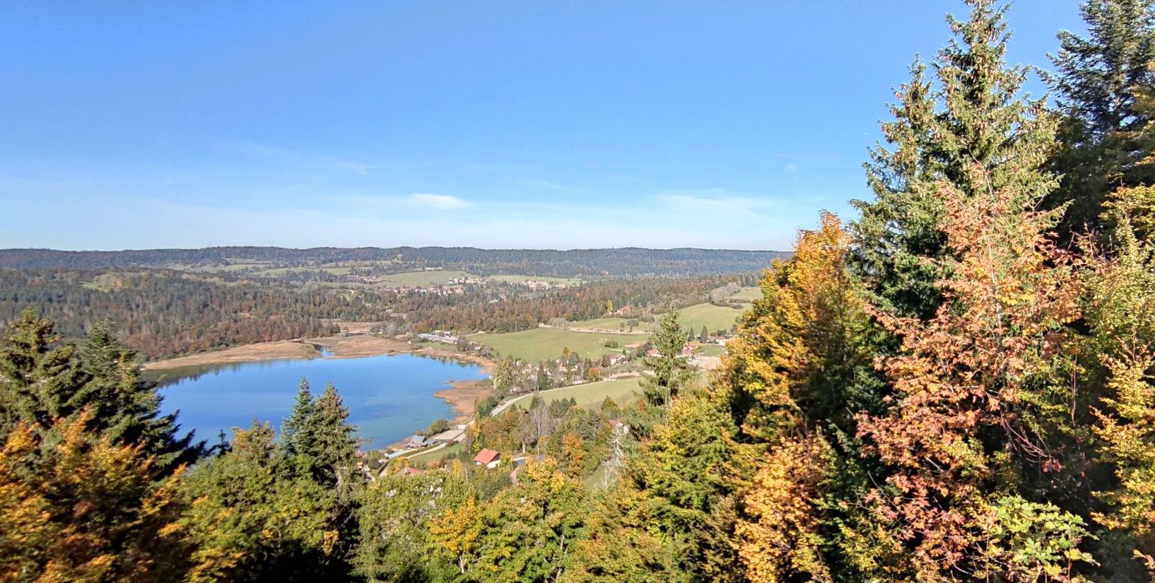
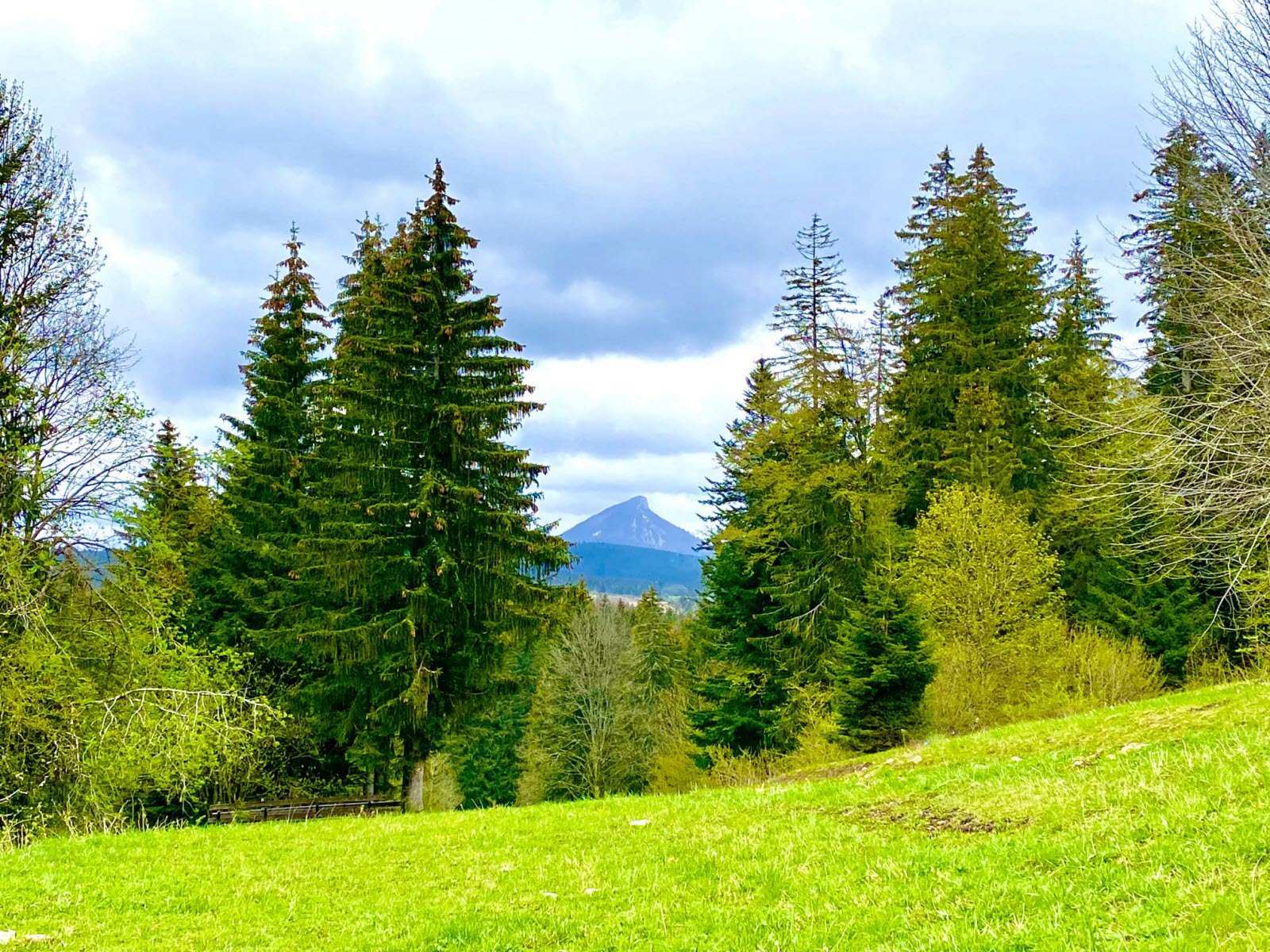
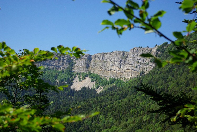
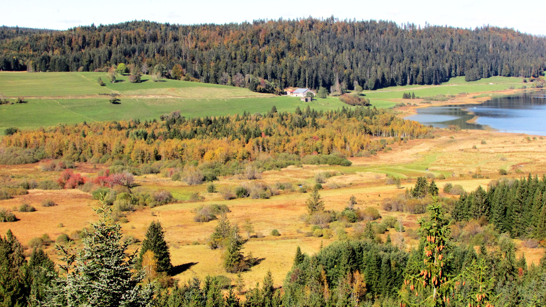
This hike takes place in the Grand' Côte biological reserve and offers lovely views of Lake Remoray. A beautiful walk in nature.

Already more than 200,000 users!
Uphill
134m
Highest point
985m
Downhill
134m
Lowest point
873m
Route type
Loop
Download the map on your smartphone to save battery and rest assured to always keep access to the route, even without signal.
Includes IGN France and Swisstopo.
I indicate whether dogs are allowed or prohibited on this trail
Can be difficult in Winter
0 ratings
Also enjoy:

Already more than 200,000 users!