Uphill
423m
Length
10km
Duration
3h30min
Elev gain
423m
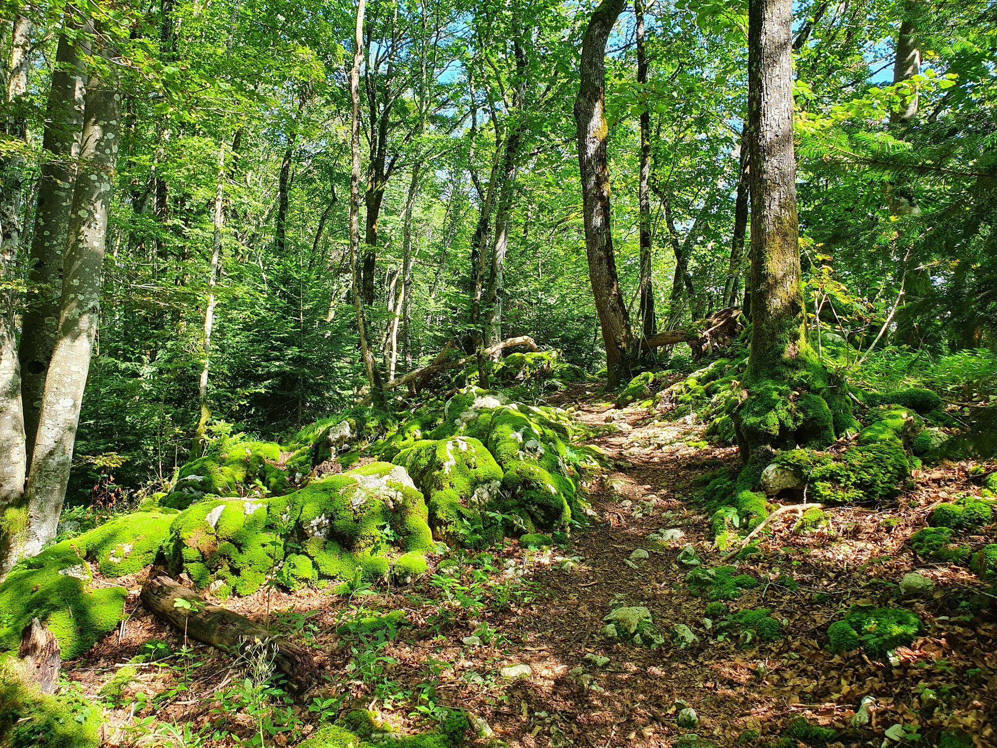
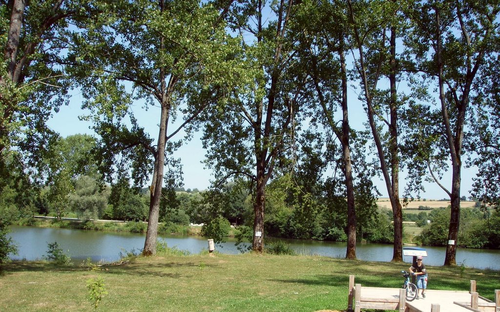
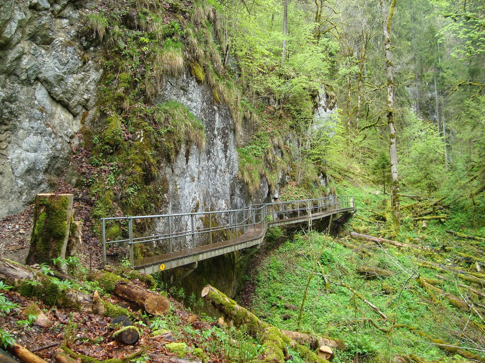
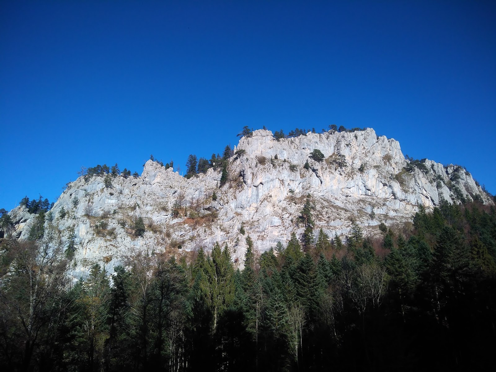
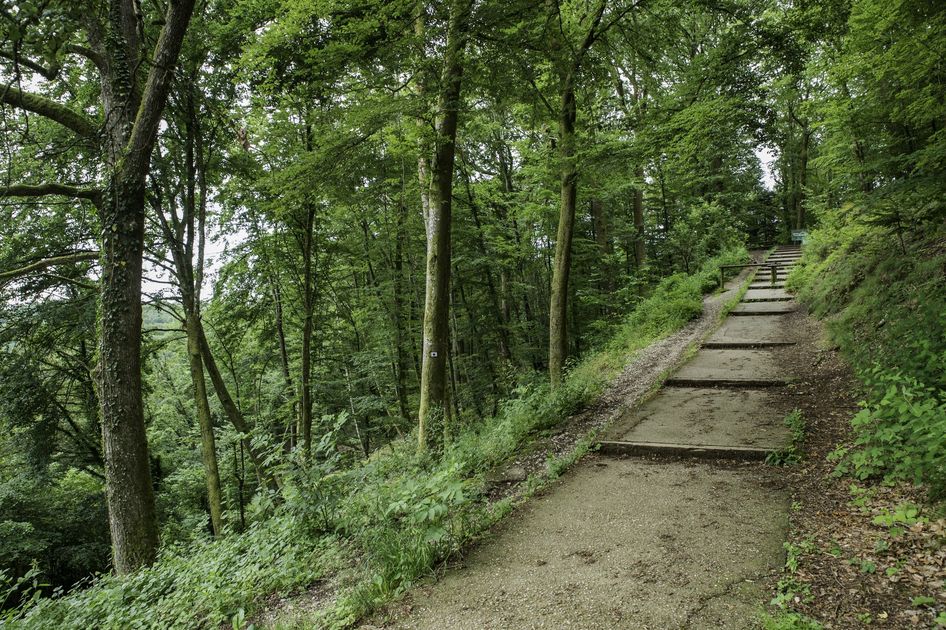
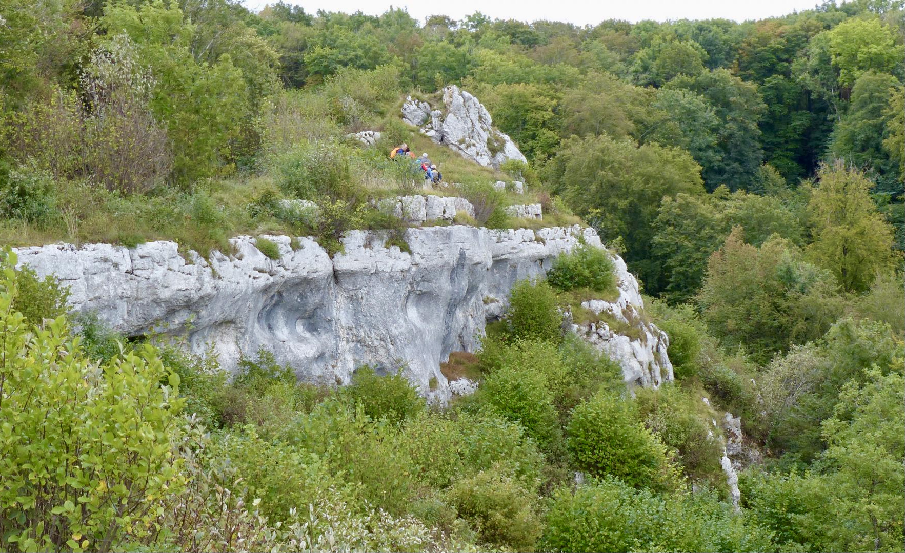
Departing from Pont-de-Roide, this is a hike to discover Fort des Roches and its nature reserve. The trail, which is mainly in the forest, follows a crest which offers a belvedere on the surroundings.

Already more than 200,000 users!
Uphill
423m
Highest point
784m
Downhill
423m
Lowest point
352m
Route type
Loop
Download the map on your smartphone to save battery and rest assured to always keep access to the route, even without signal.
Includes IGN France and Swisstopo.
I indicate whether dogs are allowed or prohibited on this trail
All year
2 ratings
Attention le chemin après la ferme abram ' existe plus, les arbres sont tombés et le rendre totalement impraticable.
Il faut emprunter le chemin du dessus
Also enjoy:

Already more than 200,000 users!