Uphill
670m
Length
12km
Duration
5h
Elev gain
670m
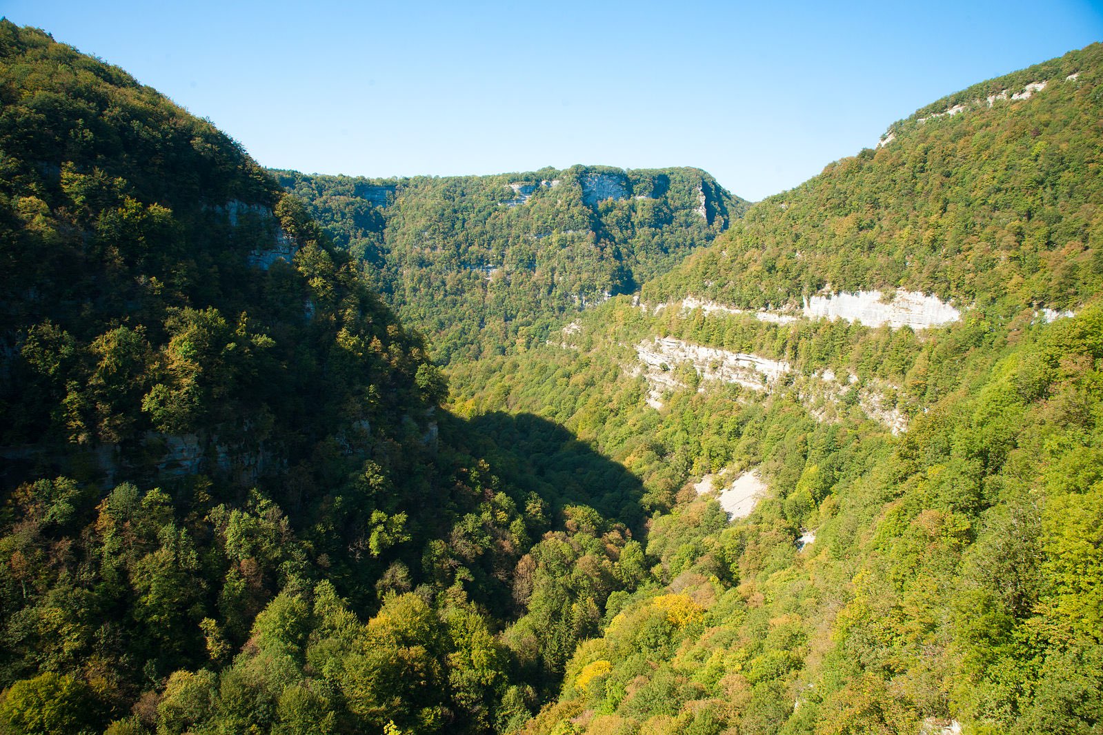
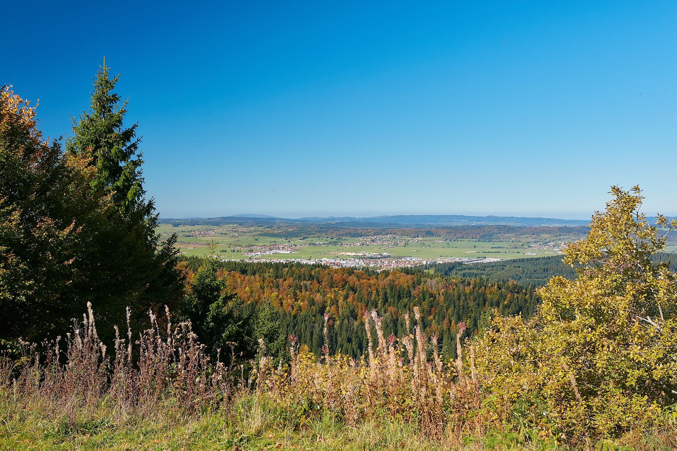
This trail runs along the Loue, passing near the Syratus waterfall, the Faux Monnayeurs cave and the Pontet spring.
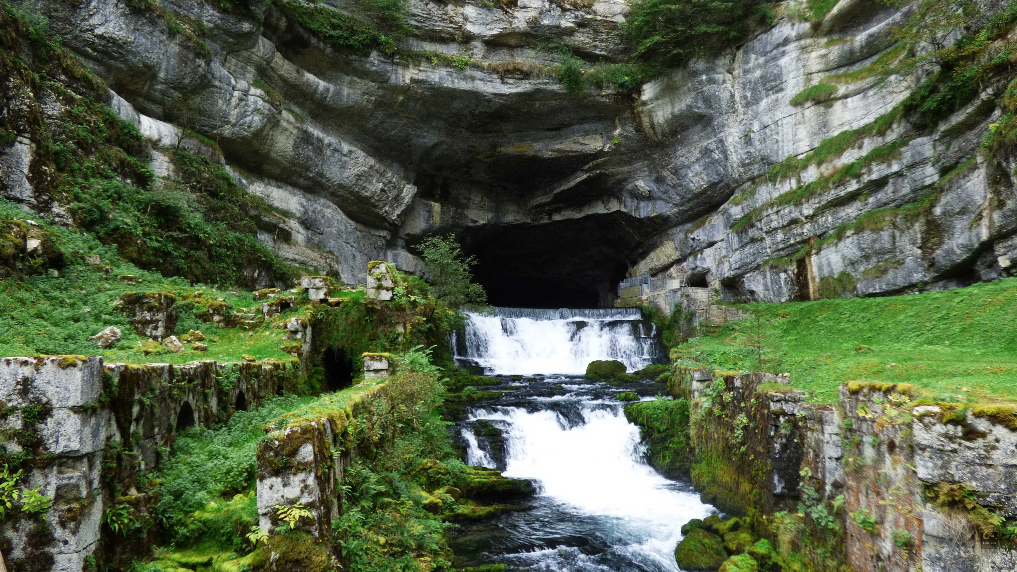
But it is the source of the Loue that attracts attention, springing from a cave dug in a rocky cirque.

Already more than 200,000 users!
Uphill
670m
Highest point
589m
Downhill
670m
Lowest point
374m
Route type
There and back
Download the map on your smartphone to save battery and rest assured to always keep access to the route, even without signal.
Includes IGN France and Swisstopo.
I indicate whether dogs are allowed or prohibited on this trail
All year
1 rating
Also enjoy:

Already more than 200,000 users!