Uphill
210m
Length
11km
Duration
3h30min
Elev gain
210m
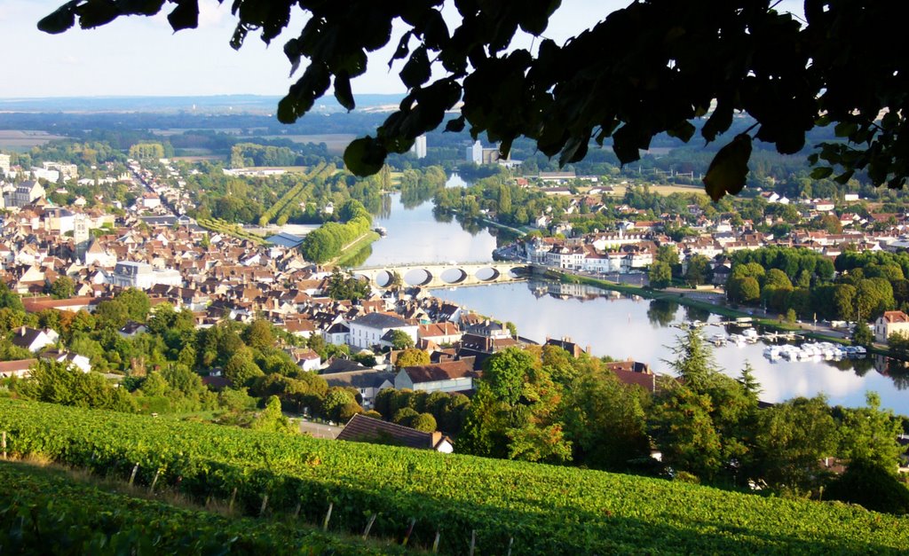
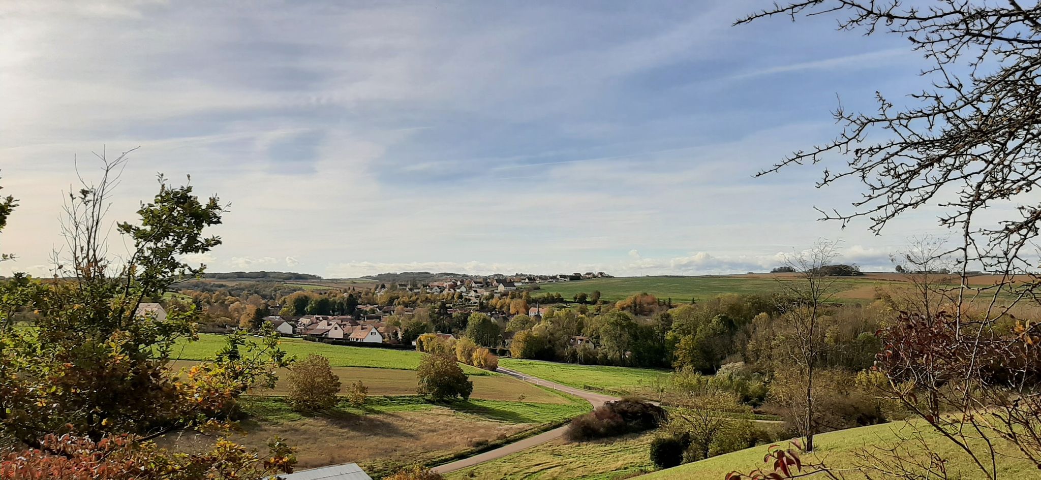
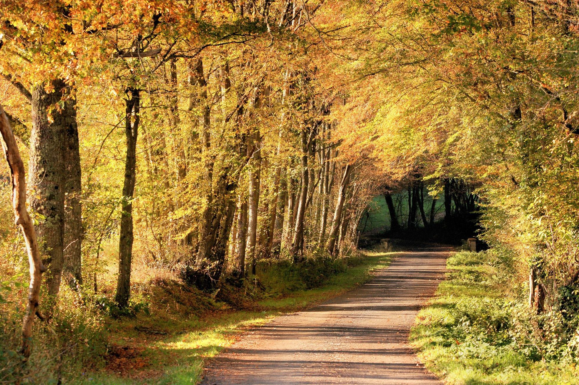
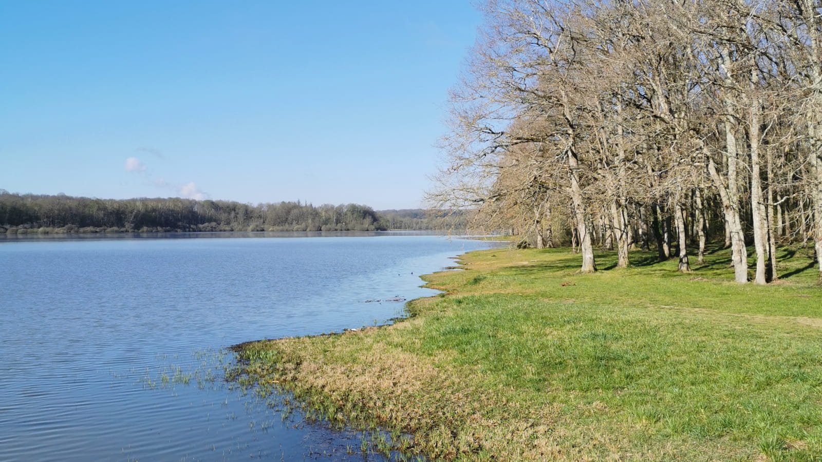
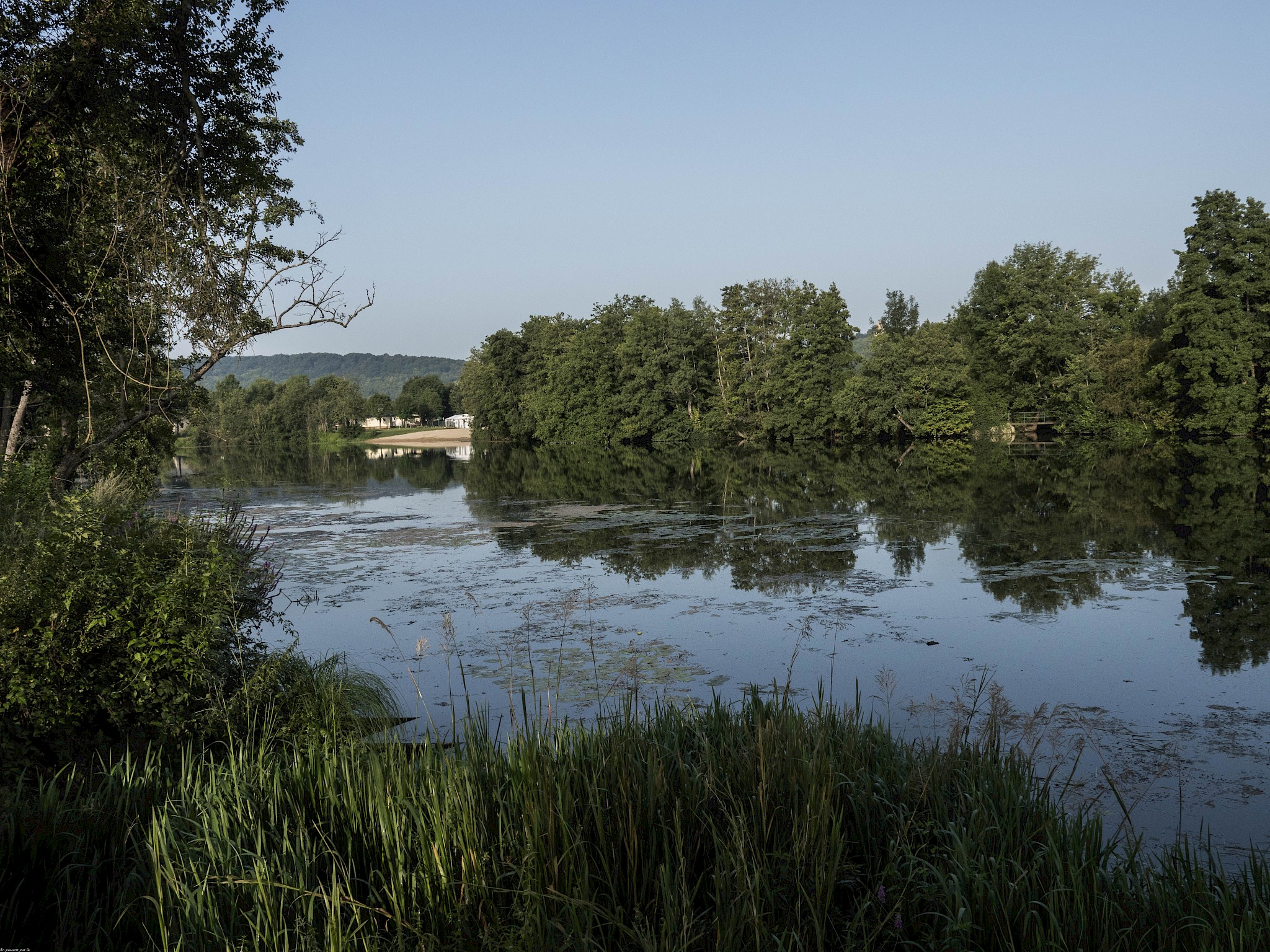
Leaving from Villevallier, this pretty walk quickly rushes into the surrounding nature. Between fields and forests, the path crosses beautiful landscapes then returns to the starting point along the Yonne. Stunning !

Already more than 200,000 users!
Uphill
210m
Highest point
220m
Downhill
210m
Lowest point
12m
Route type
Loop
Download the map on your smartphone to save battery and rest assured to always keep access to the route, even without signal.
Includes IGN France and Swisstopo.
I indicate whether dogs are allowed or prohibited on this trail
All year
0 ratings
Also enjoy:

Already more than 200,000 users!