Uphill
267m
Length
8km
Duration
3h
Elev gain
267m
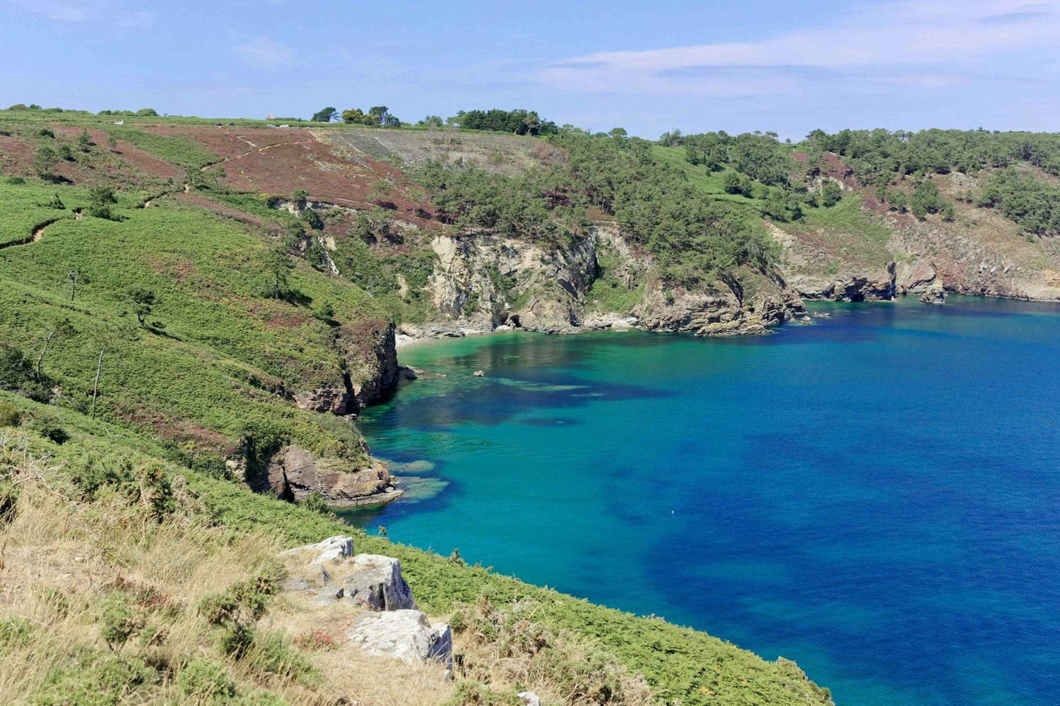
Southern cape of the Crozon peninsula, the Cap de la Chèvre is a majestic rocky promontory, dominating the bay of Douarnenez from sometimes 100 meters. A path allows you to follow the ocean on the side of the massif, offering a sometimes dizzying panorama.

Already more than 200,000 users!
Uphill
267m
Highest point
91m
Downhill
267m
Lowest point
23m
Route type
Loop
Download the map on your smartphone to save battery and rest assured to always keep access to the route, even without signal.
Includes IGN France and Swisstopo.
I indicate whether dogs are allowed or prohibited on this trail
All year
3 ratings
Falaises impressionnantes au niveau du sémaphore, au départ de la balade ! Le sentier alterne entre une côte escarpée et des landes assez préservées. On a bien aimé le contraste entre les deux.
Sortie effectuée sous la pluie pour des paysages bretons encore plus typiques ☔️
Also enjoy:

Already more than 200,000 users!


