Uphill
92m
Length
4km
Duration
1h
Elev gain
92m
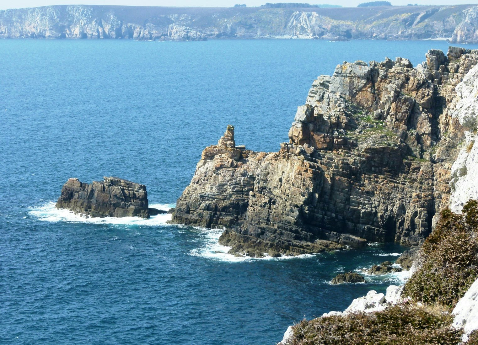
Short walk offering pretty views, from Pointe de Pen Hir to Cap de la Chèvre.

Already more than 200,000 users!
Uphill
92m
Highest point
67m
Downhill
92m
Lowest point
17m
Route type
Loop
Download the map on your smartphone to save battery and rest assured to always keep access to the route, even without signal.
Includes IGN France and Swisstopo.
I indicate whether dogs are allowed or prohibited on this trail
All year
1 rating
Also enjoy:

Already more than 200,000 users!


