Uphill
199m
Length
11km
Duration
3h30min
Elev gain
199m
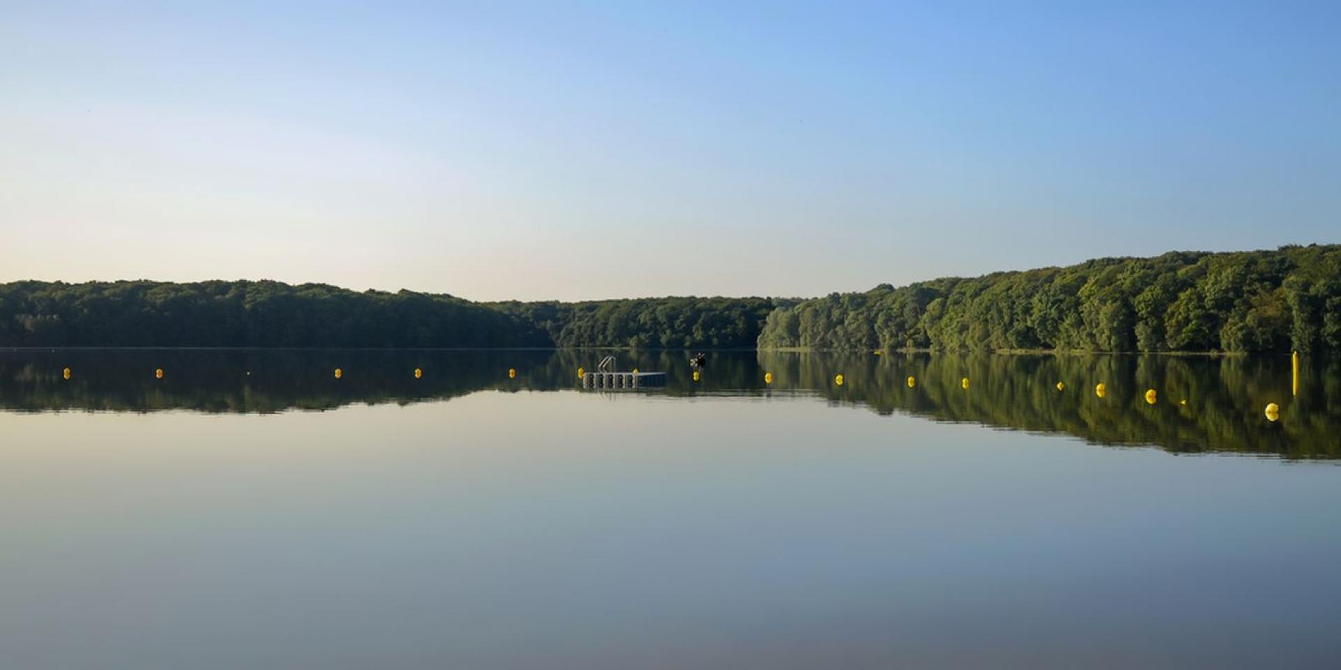
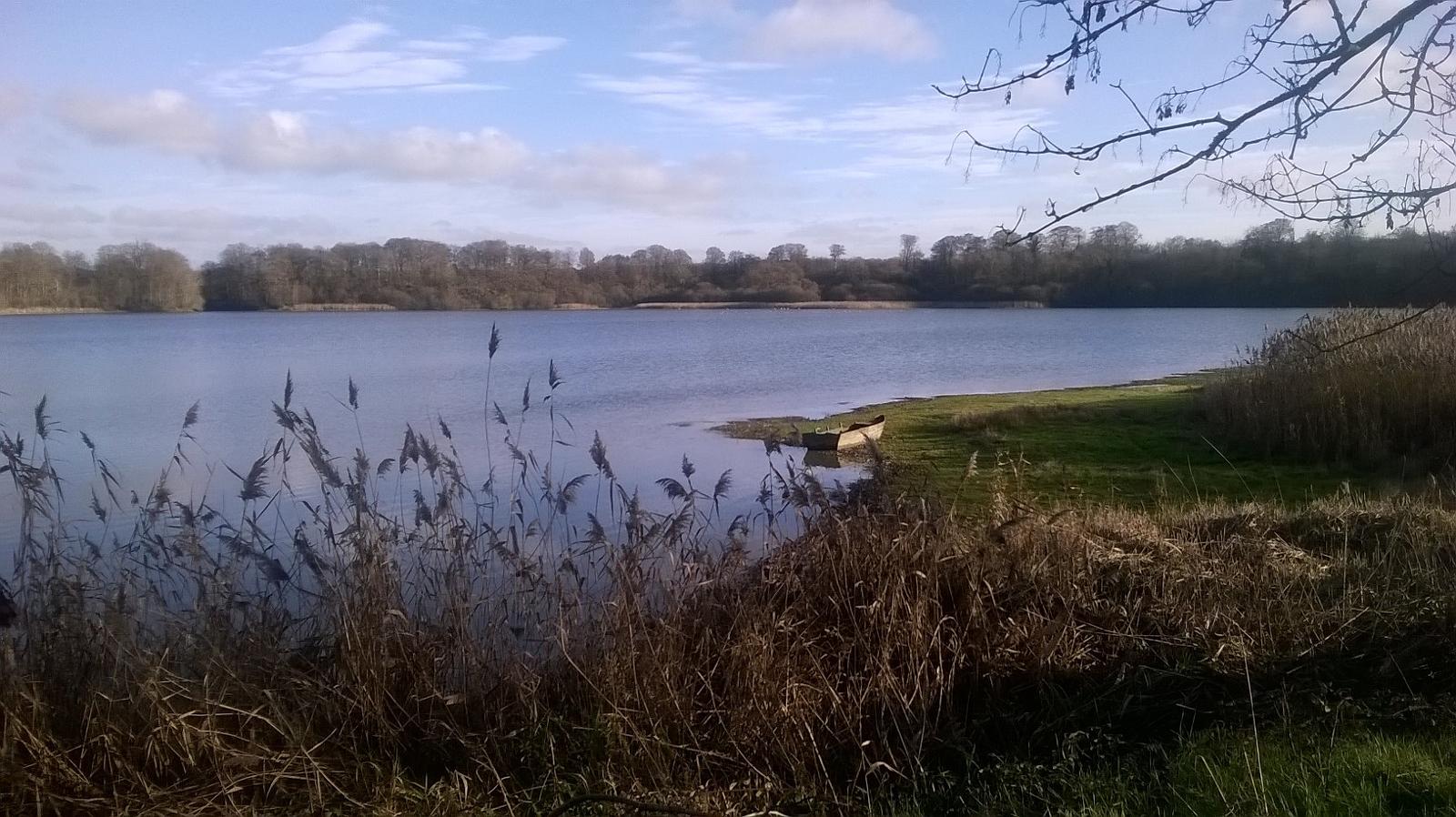
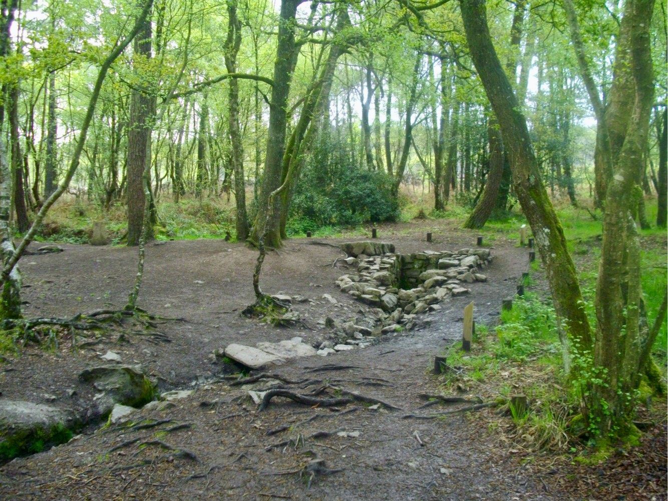
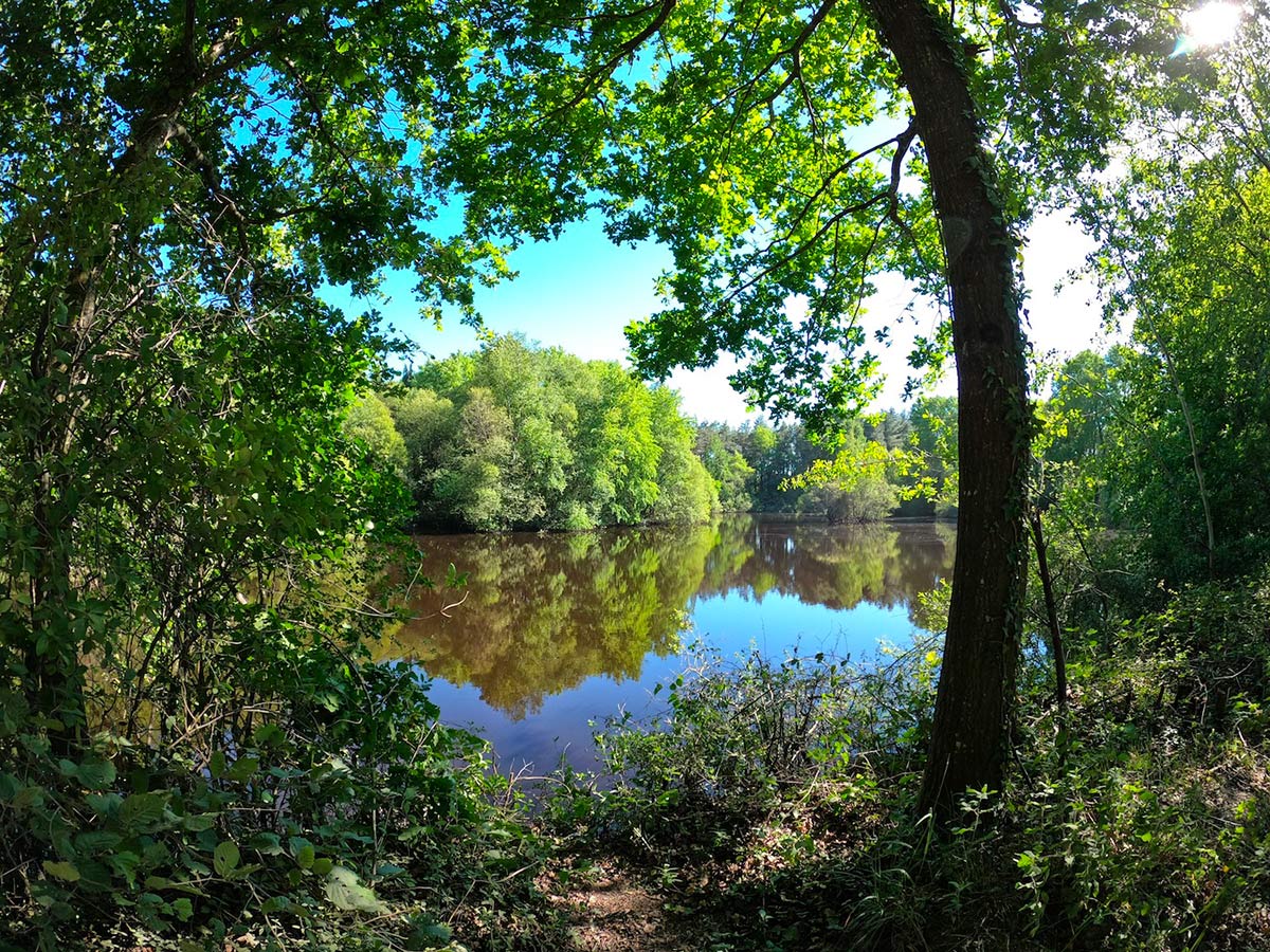
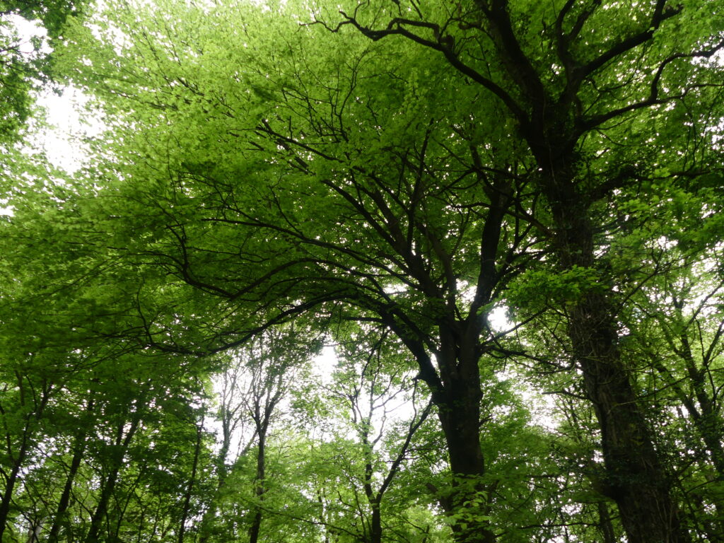
Walk in the national forest of Montauban, on a winding path and largely following the edge of the forest. This route allows you to discover the arboretum and the site of the old oak.

Already more than 200,000 users!
Uphill
199m
Highest point
168m
Downhill
199m
Lowest point
68m
Route type
Loop
Download the map on your smartphone to save battery and rest assured to always keep access to the route, even without signal.
Includes IGN France and Swisstopo.
I indicate whether dogs are allowed or prohibited on this trail
All year
1 rating
Also enjoy:

Already more than 200,000 users!