Uphill
259m
Length
16km
Duration
4h30min
Elev gain
259m
Here is the last stage of the tour of Belle-Île, and it is unquestionably simpler than those of the previous days.
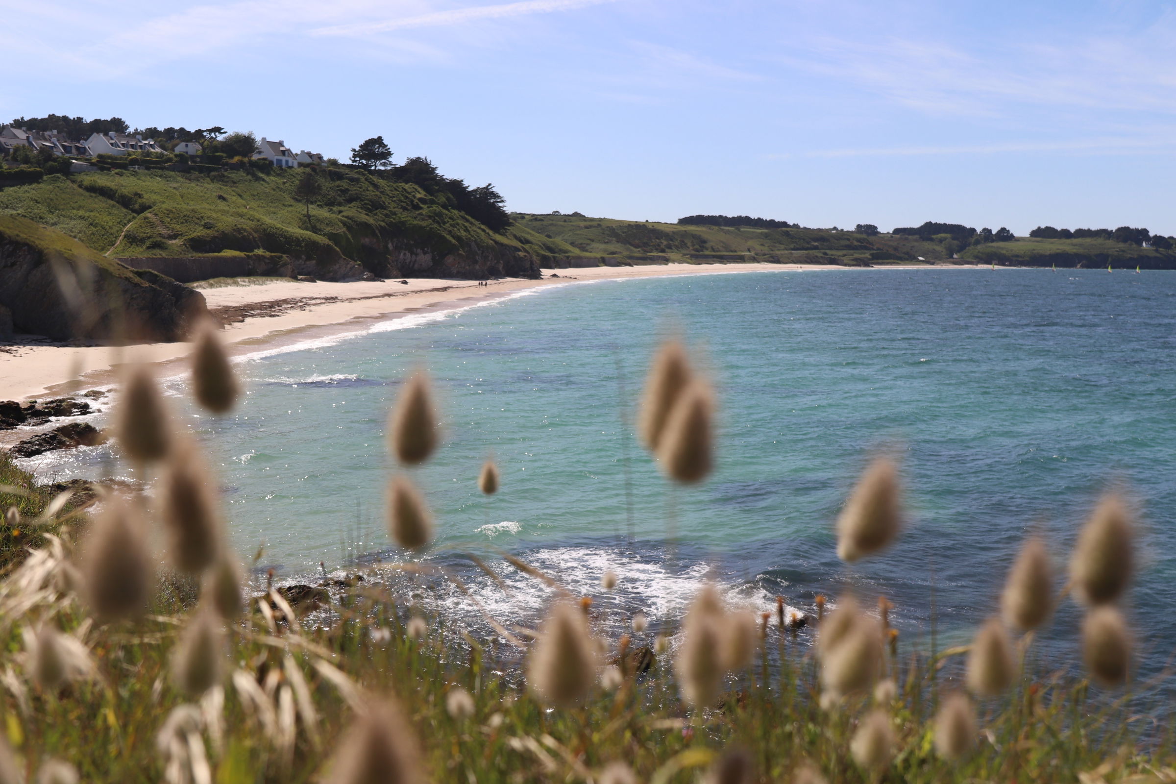
The path begins by following a steep coast to the tip of Kerdonis, before the cliffs give way to the largest beaches on the island: Grands Sables, Gros Rocher, and Bordardoué.
Once past the headlands of Bugul, Gros Rocher, then Ramonette, the GR340 comes to an end when you arrive in the alleys of the Palais. Congratulations, you have completed the tour of the island!

Already more than 200,000 users!
Uphill
259m
Highest point
49m
Downhill
258m
Lowest point
0m
Route type
One way
Download the map on your smartphone to save battery and rest assured to always keep access to the route, even without signal.
Includes IGN France and Swisstopo.
I indicate whether dogs are allowed or prohibited on this trail
All year
1 rating
Cette dernière étape permet de retourner tranquillement à la civilisation - les hameaux se font plus fréquent, et il y a plus de marcheurs que lors des étapes précédentes.
La plage des Grands Sables mérite une pause baignade en cas de beau temps. En été il y a parfois un food truck à son extrémité nord-ouest lors du déjeuner.
Also enjoy:

Already more than 200,000 users!


