Uphill
317m
Length
14km
Duration
4h30min
Elev gain
317m
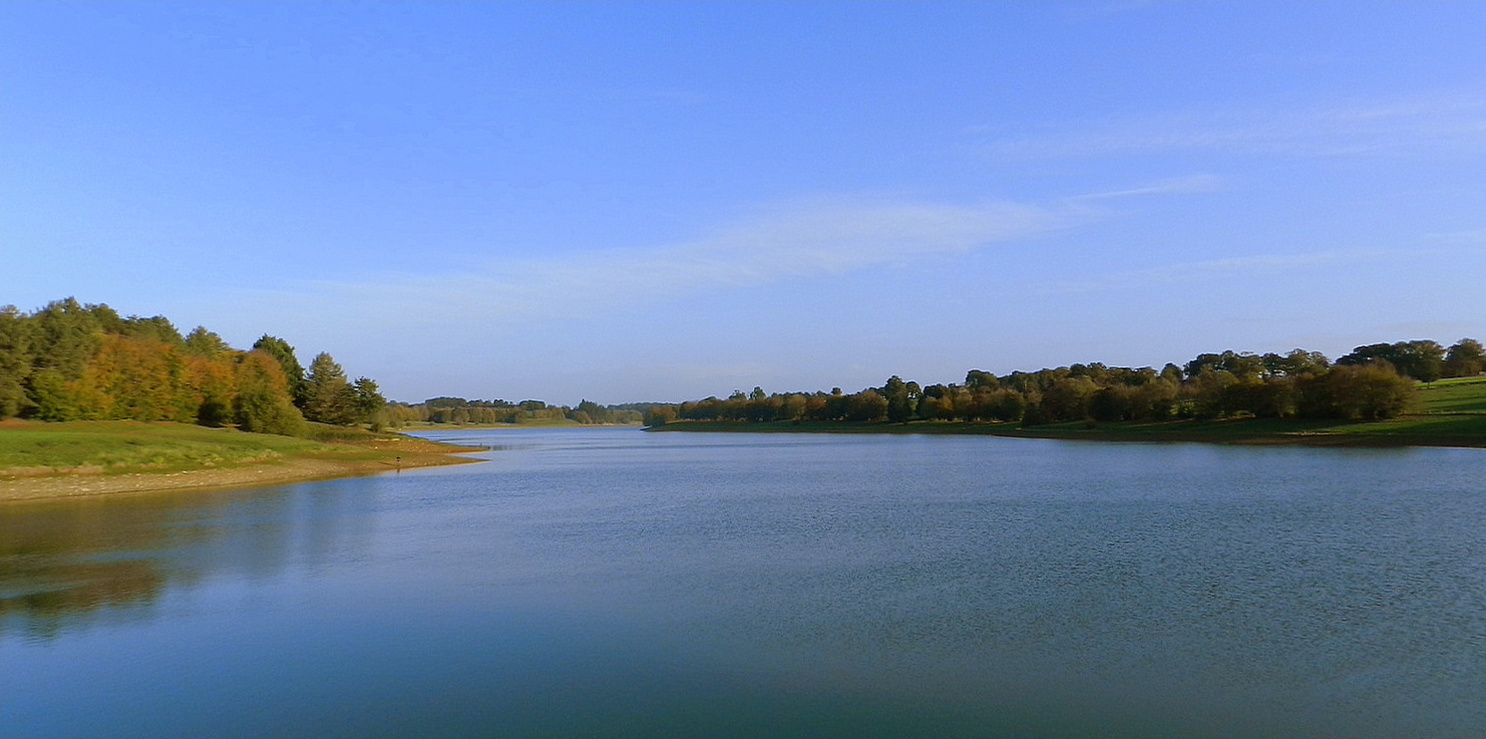
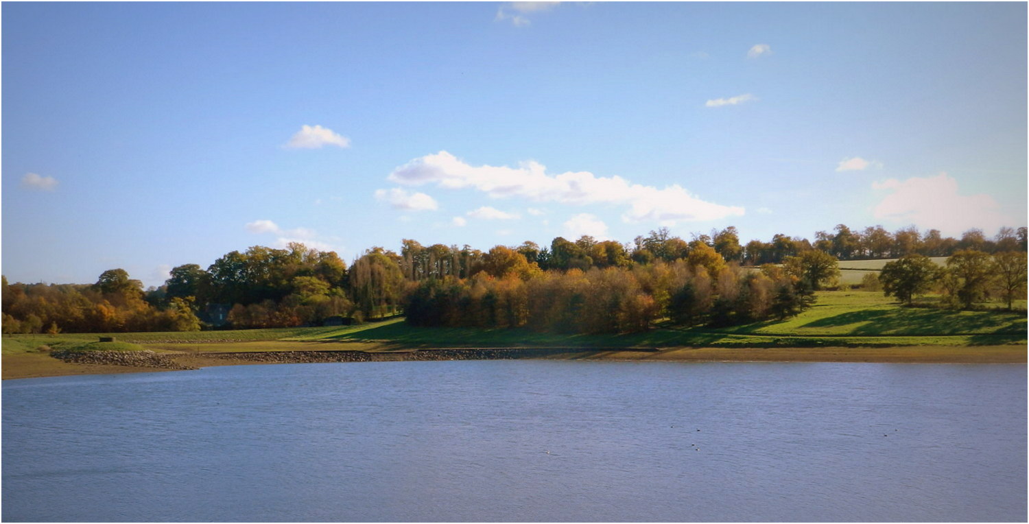
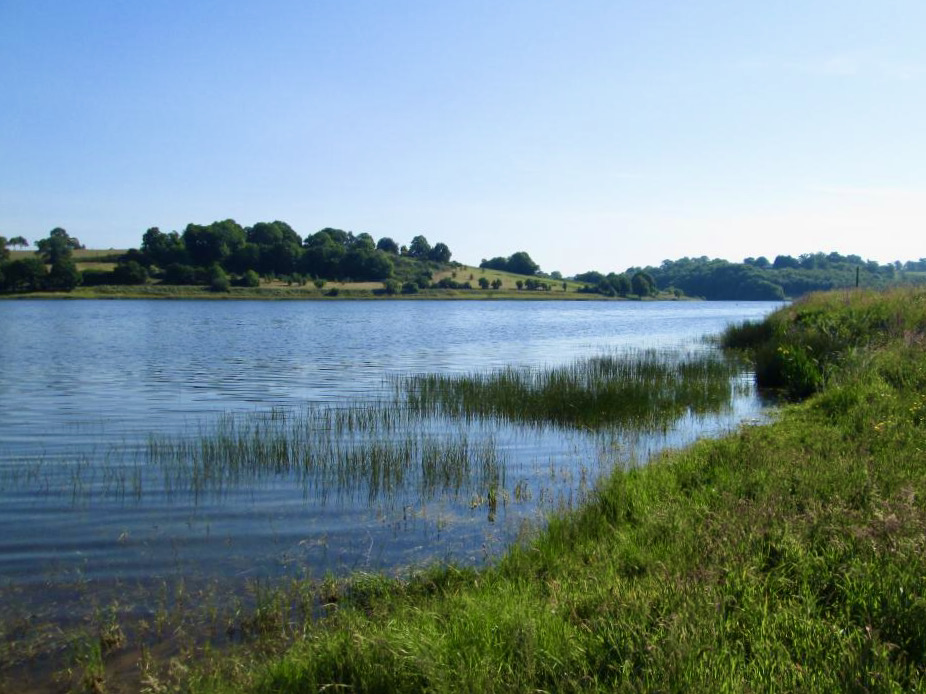
This 155-hectare pond was created in 1982 to regulate the Vilaine. A path allows you to go around it, between fields and small woods.

Already more than 200,000 users!
Uphill
317m
Highest point
127m
Downhill
317m
Lowest point
76m
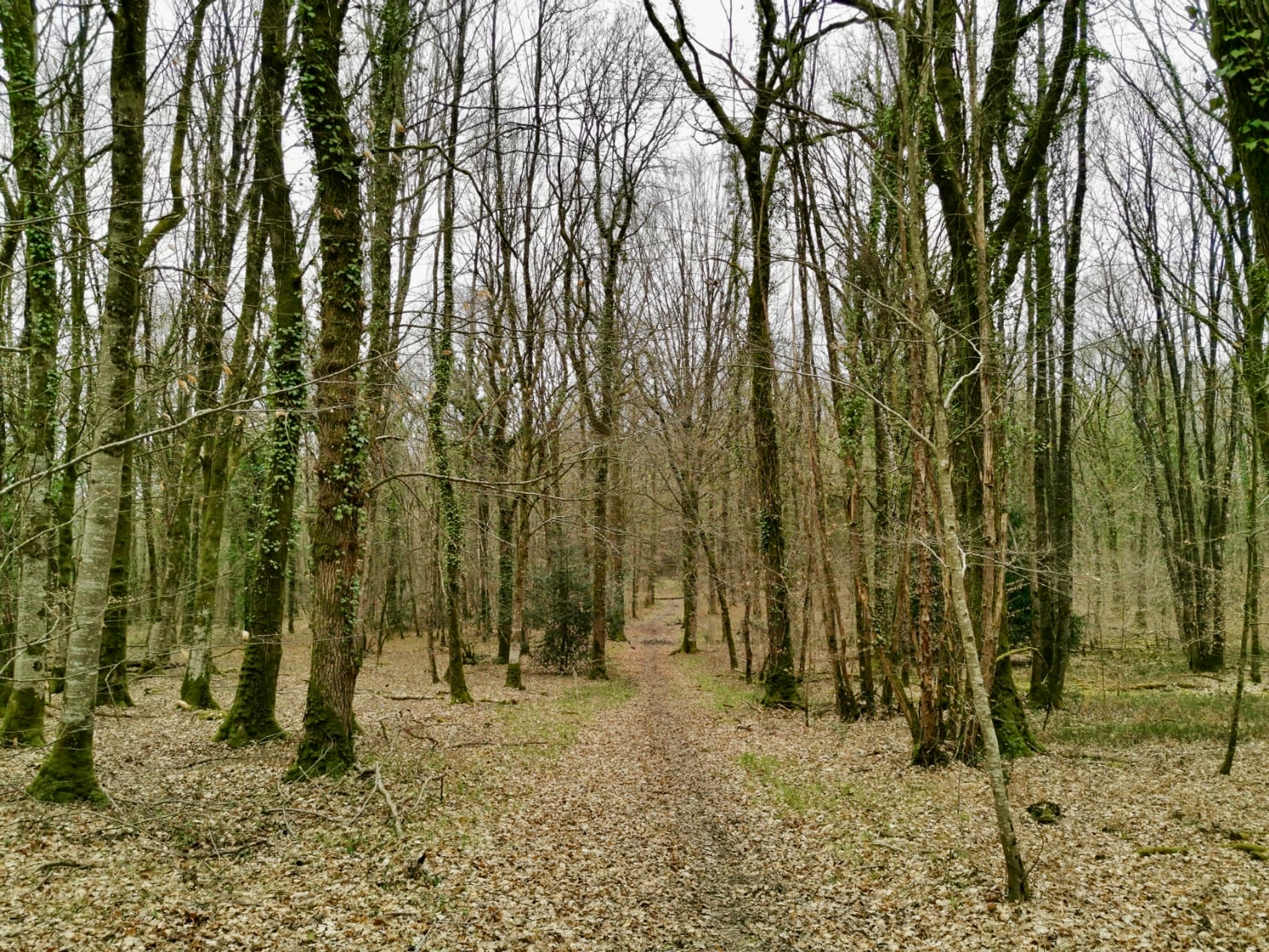
Route type
Loop
Download the map on your smartphone to save battery and rest assured to always keep access to the route, even without signal.
Includes IGN France and Swisstopo.
I indicate whether dogs are allowed or prohibited on this trail
All year
1 rating
Also enjoy:

Already more than 200,000 users!