Uphill
91m
Length
7km
Duration
2h
Elev gain
91m
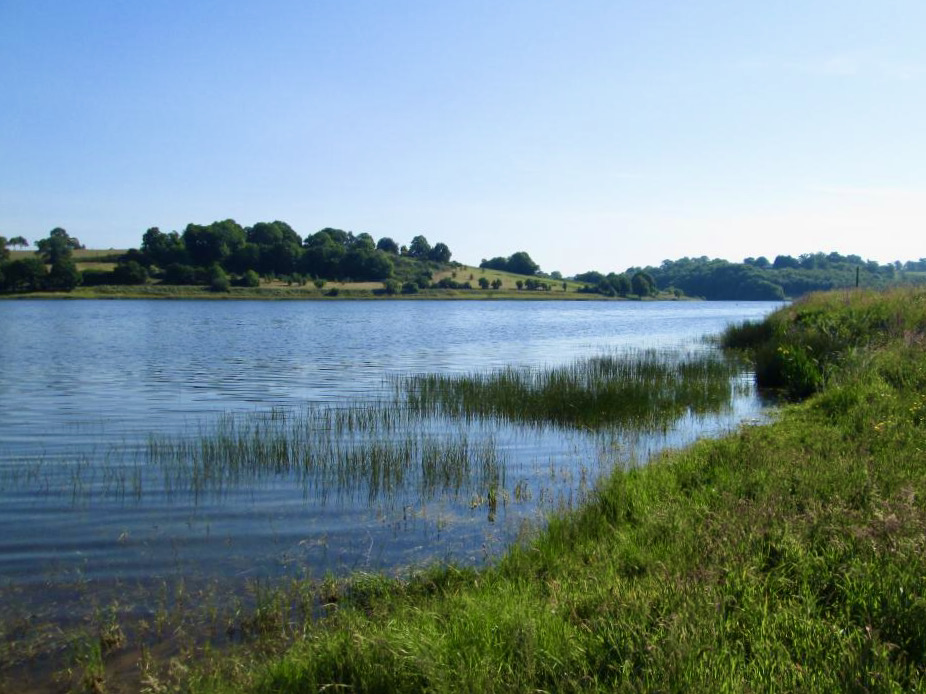
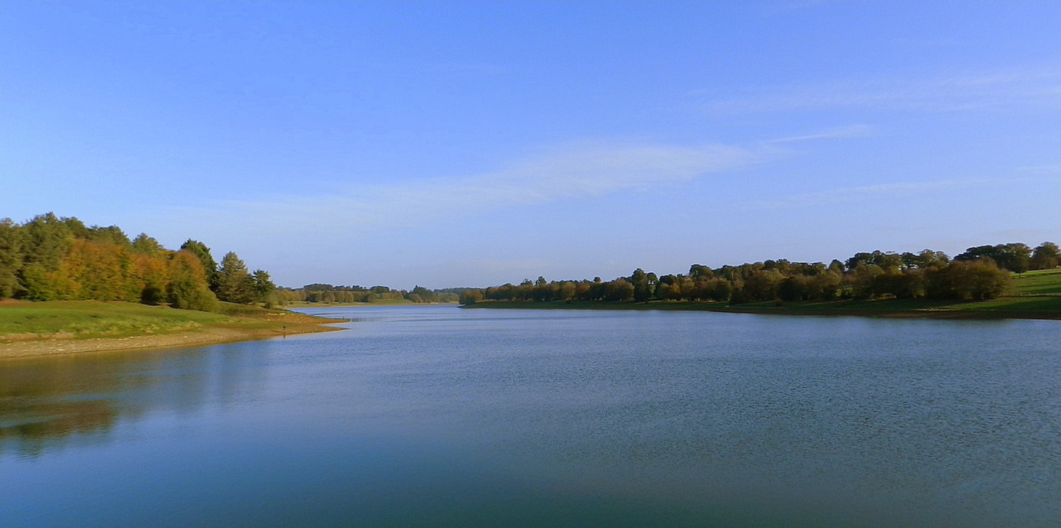
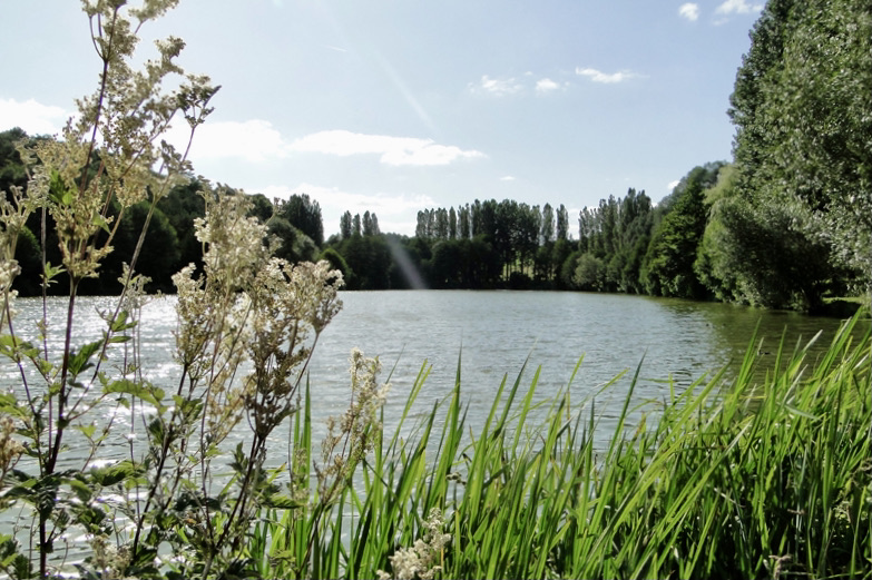
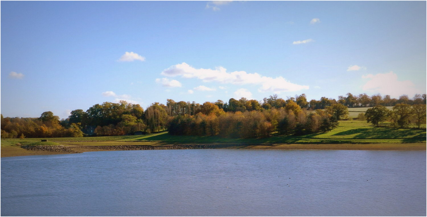
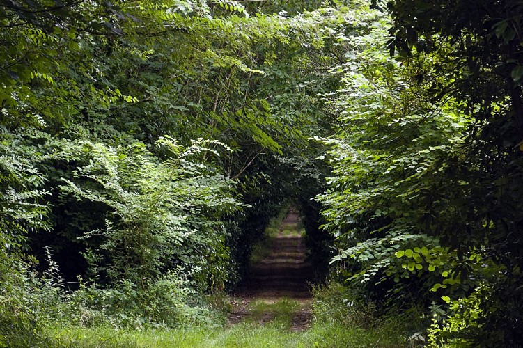
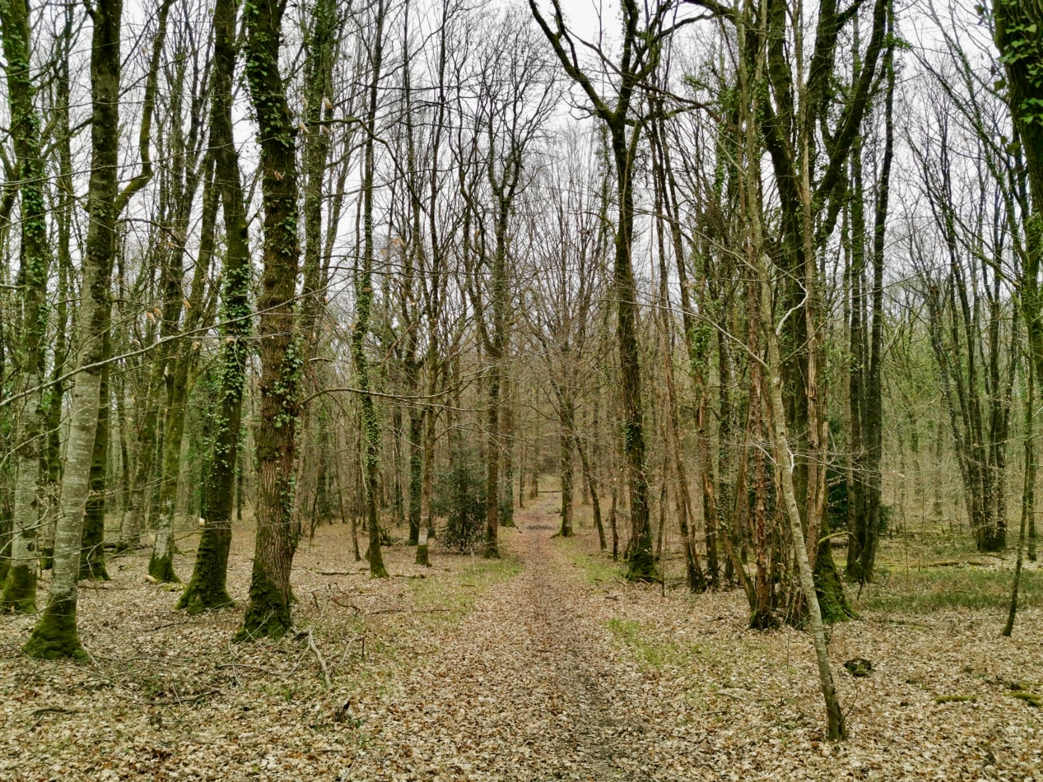
Located in Saint-Pierre-la-Cour, this hike is mainly done in a forest environment. The route leads to the charming pond of Cornesse then makes a loop to return to the starting point. A course without difficulty that will suit the whole family.

Already more than 200,000 users!
Uphill
91m
Highest point
177m
Downhill
91m
Lowest point
131m
Route type
Loop
Download the map on your smartphone to save battery and rest assured to always keep access to the route, even without signal.
Includes IGN France and Swisstopo.
I indicate whether dogs are allowed or prohibited on this trail
All year
0 ratings
Also enjoy:

Already more than 200,000 users!