Uphill
126m
Length
8km
Duration
2h30min
Elev gain
126m
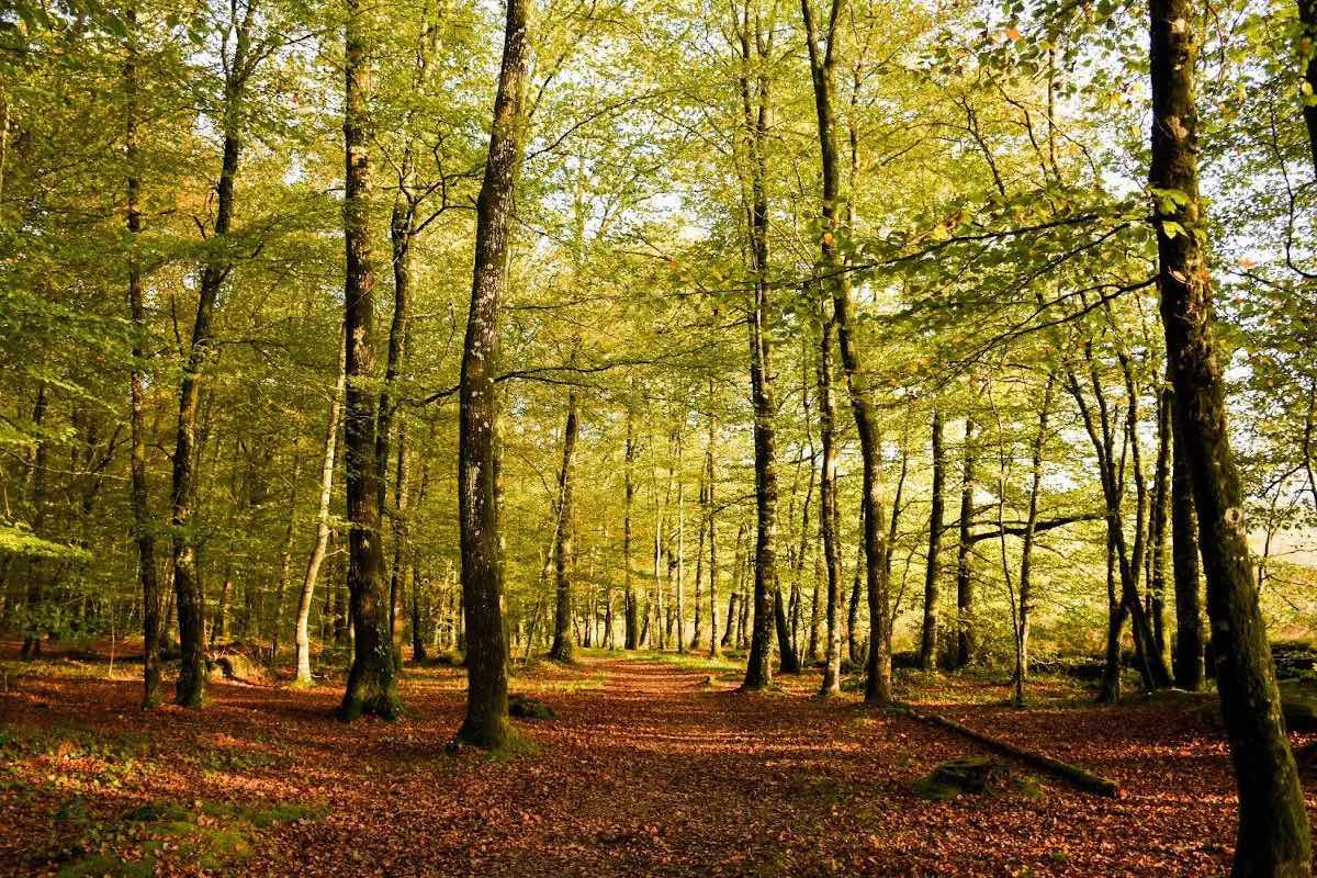
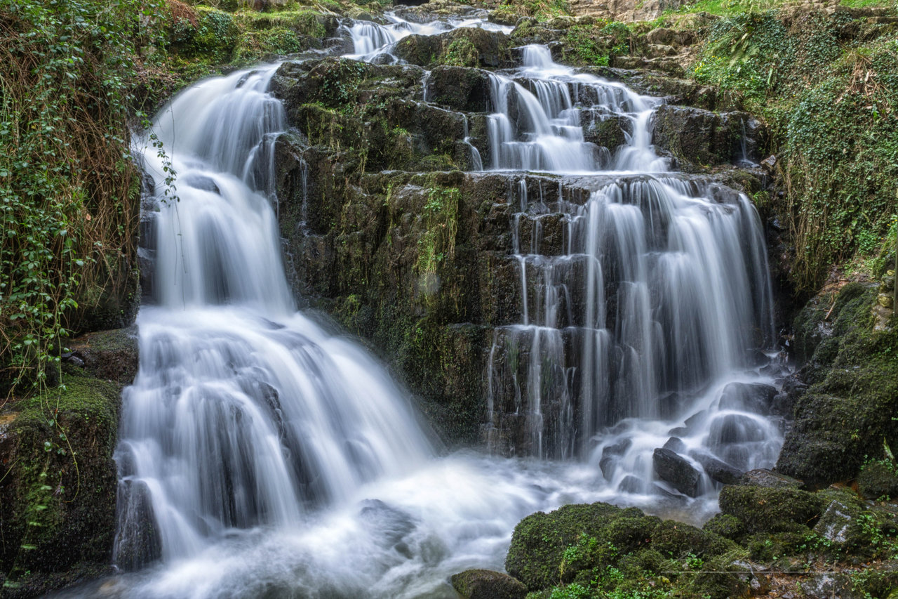
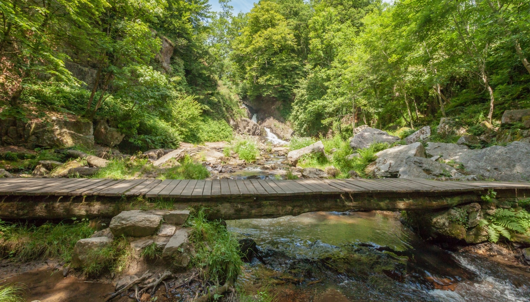
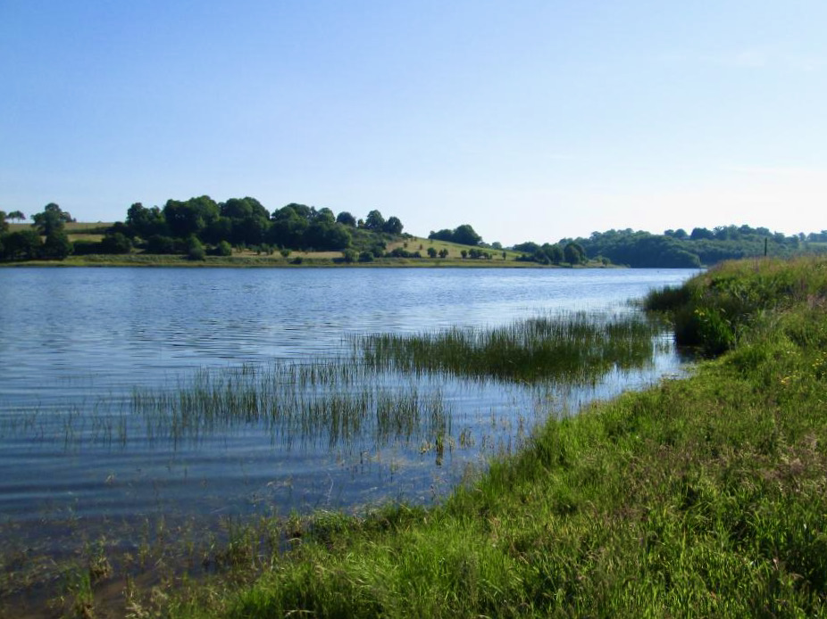
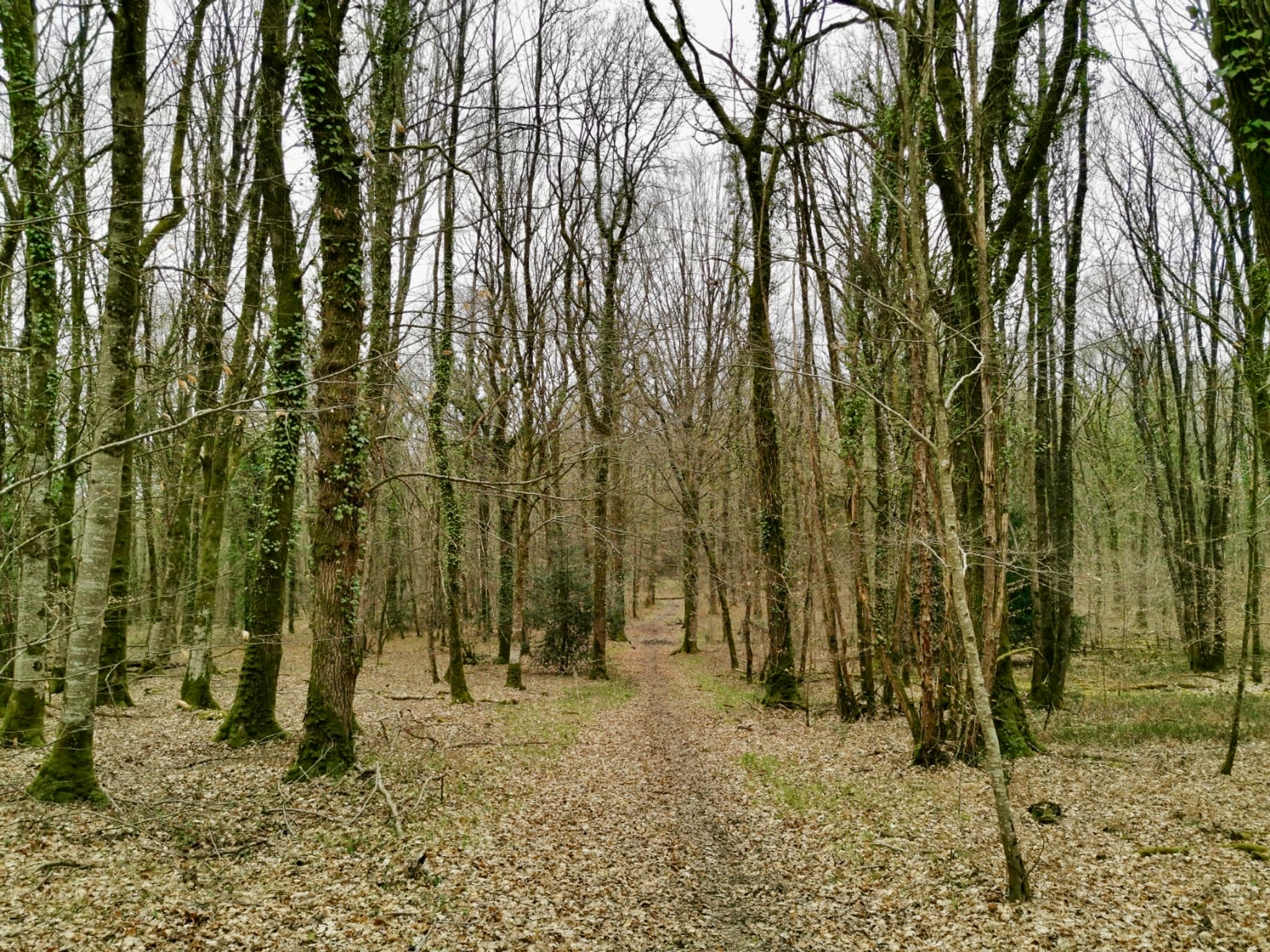
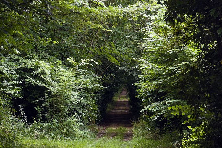
Departing from Montaudin, this route is along the old planted paths of the Château de la Pirohaye. The route sets out to discover the typical landscapes of the Mayenne countryside, between small preserved paths and a few passages on the road.

Already more than 200,000 users!
Uphill
126m
Highest point
217m
Downhill
126m
Lowest point
158m
Route type
Loop
Download the map on your smartphone to save battery and rest assured to always keep access to the route, even without signal.
Includes IGN France and Swisstopo.
I indicate whether dogs are allowed or prohibited on this trail
All year
0 ratings
Also enjoy:

Already more than 200,000 users!