Uphill
260m
Length
11km
Duration
3h30min
Elev gain
260m
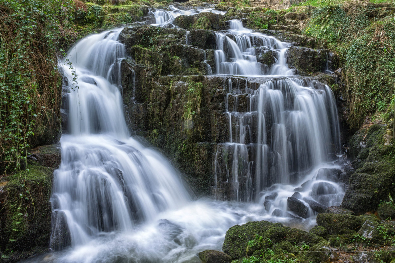
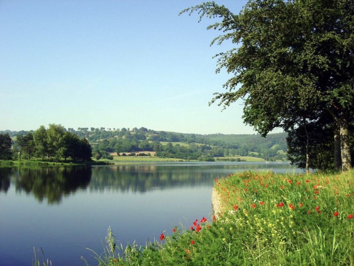
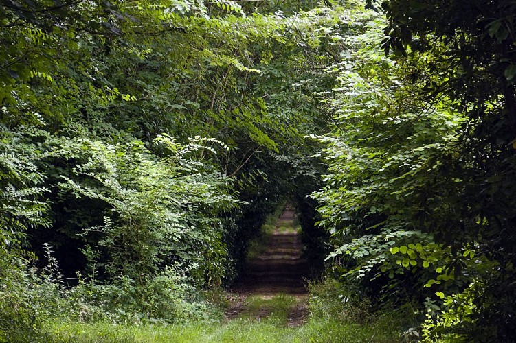
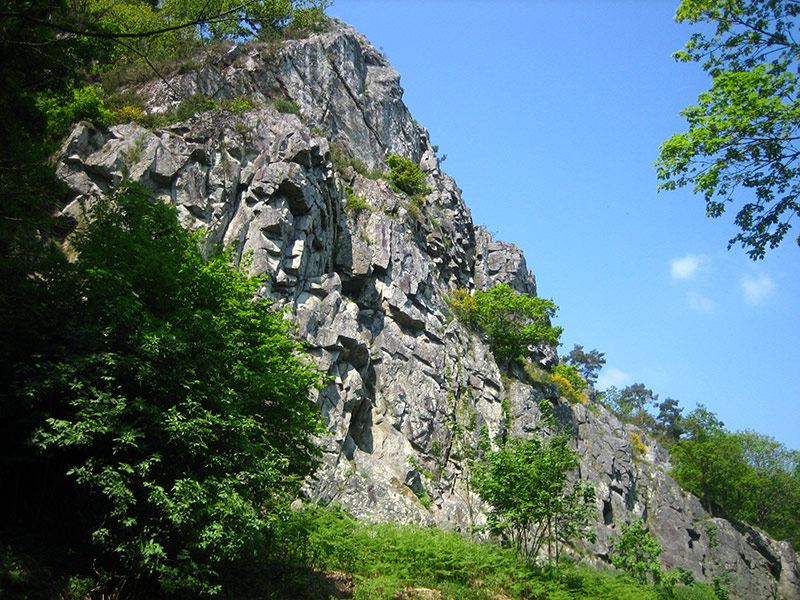
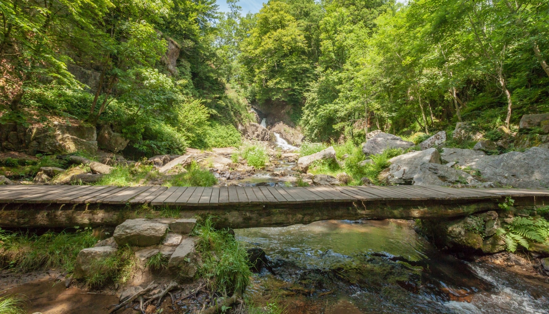
Leaving from Mortain, this hike makes a long loop around the town. The route is relatively varied, between forests, monuments, ridges, and offers some pretty views of the surroundings.
Please note: the route follows small roads and paths, and can be muddy or slippery in certain places depending on the period.

Already more than 200,000 users!
Uphill
260m
Highest point
310m
Downhill
260m
Lowest point
174m
Route type
Loop
Download the map on your smartphone to save battery and rest assured to always keep access to the route, even without signal.
Includes IGN France and Swisstopo.
I indicate whether dogs are allowed or prohibited on this trail
All year
0 ratings
Also enjoy:

Already more than 200,000 users!