Uphill
89m
Length
5km
Duration
1h30min
Elev gain
89m
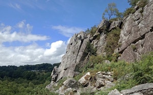
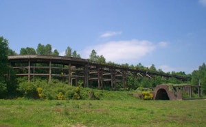
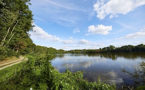
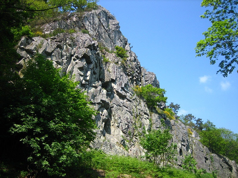
Family walk from the town of Domfront. The route draws a loop, passes by the mound Saint-Anne then by the bridge of Caen, before returning to the starting point along the Varenne.

Already more than 200,000 users!
Uphill
89m
Highest point
211m
Downhill
89m
Lowest point
128m
Route type
Loop
Download the map on your smartphone to save battery and rest assured to always keep access to the route, even without signal.
Includes IGN France and Swisstopo.
I indicate whether dogs are allowed or prohibited on this trail
All year
1 rating
Très calme. Première moitié très simple, deuxième un peu moins et mal indiquée
Also enjoy:

Already more than 200,000 users!