Uphill
49m
Length
5km
Duration
1h30min
Elev gain
49m
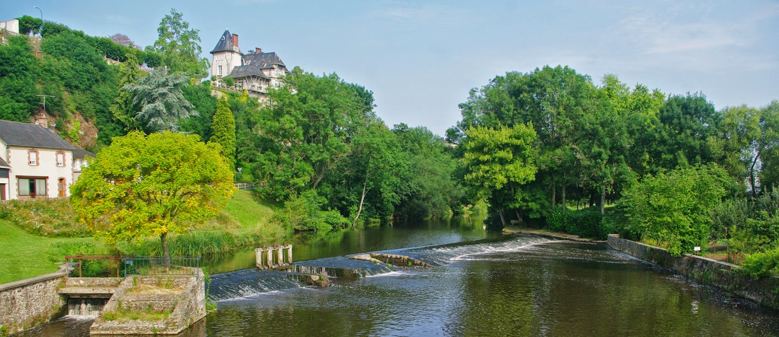
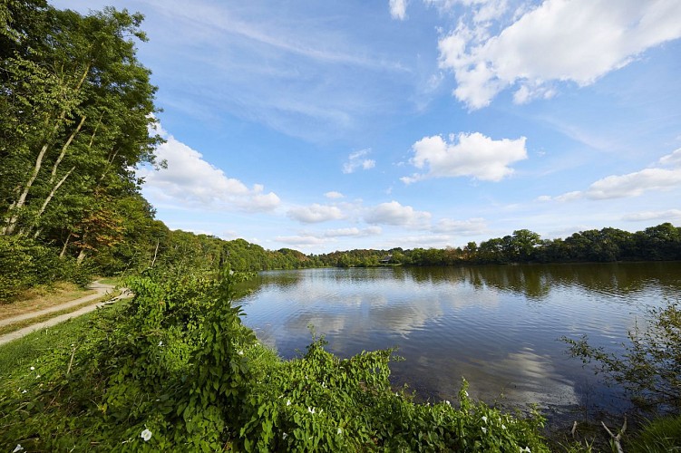
Starting from the church of Saint-Loup-du-Gast, this walk makes a beautiful loop partly on the banks of the Mayenne, then returns then in the middle of the fields. A beautiful walk accessible to all that feels good!

Already more than 200,000 users!
Uphill
49m
Highest point
135m
Downhill
49m
Lowest point
86m
Route type
Loop
Download the map on your smartphone to save battery and rest assured to always keep access to the route, even without signal.
Includes IGN France and Swisstopo.
I indicate whether dogs are allowed or prohibited on this trail
All year
0 ratings
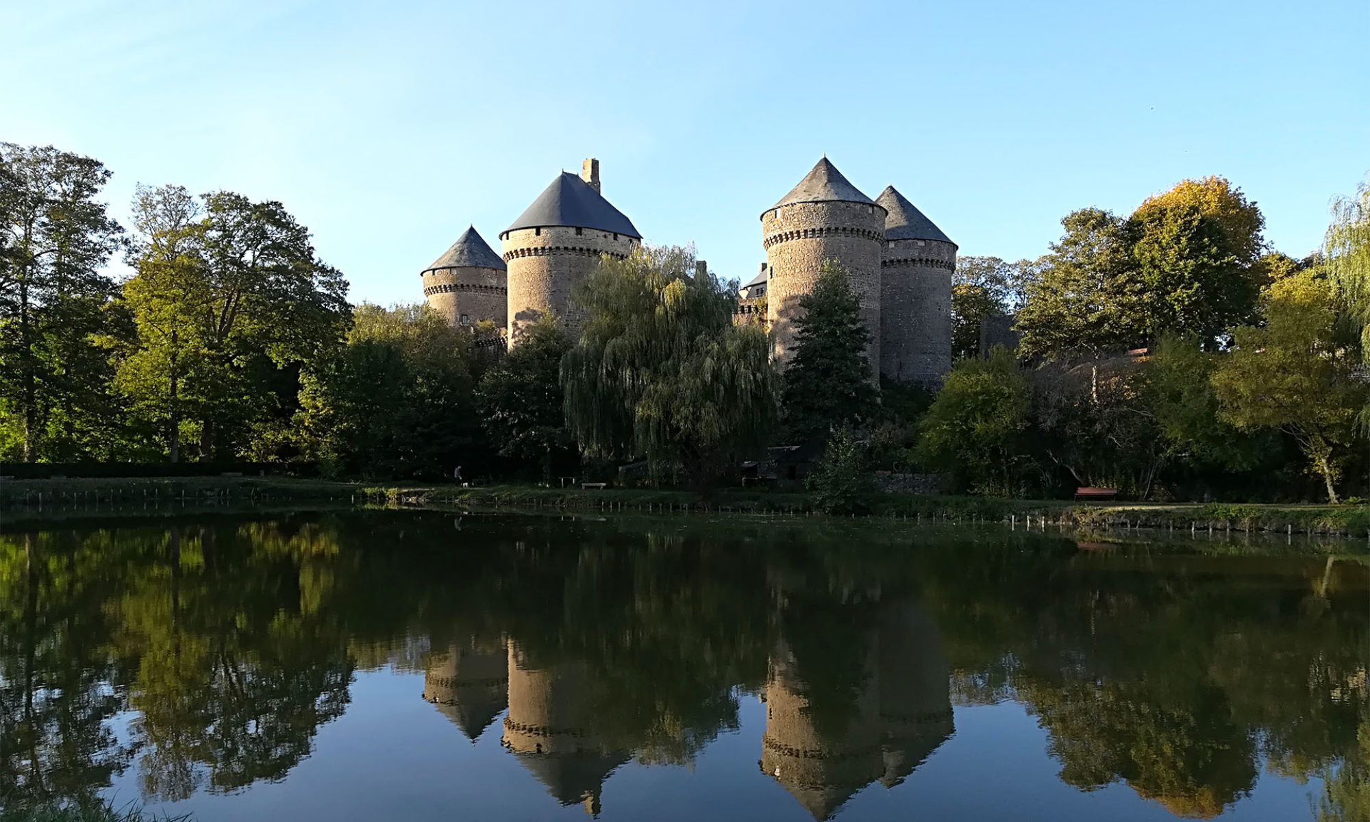
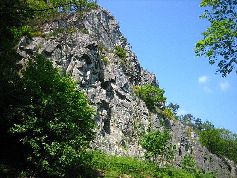
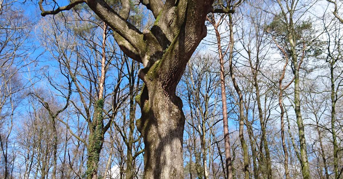
Also enjoy:

Already more than 200,000 users!